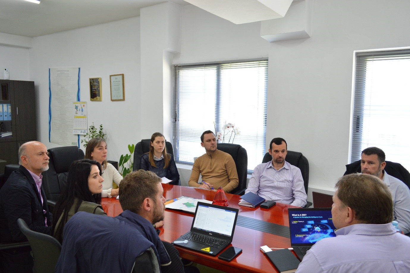
State Authority for Geospatial Information (ASIG), in view of the projects with advanced satellite technologies that it is developing recently, had an informative meeting yesterday with Esri experts, Mr. Nick Sutherland (Esri European Defense and Intelligence BDM), Mr. Anthony Giles (Solution Engineer Esri European National Government) and GDI Albania.
Esri is the global market leader for geographic information systems (GIS), location intelligence, and mapping software. Since 1969, this company has been supporting governments, businesses, and academia with Geographic Information Systems worldwide. Esri experts in their presentations brought information on the applications of ArcGIS in the field of intelligent imaging (sources from satellite and drone images), all innovations, various ideas, tips on the Esri platform and the solutions it offers.