Online Meeting of the BIG Geospatial Information Board
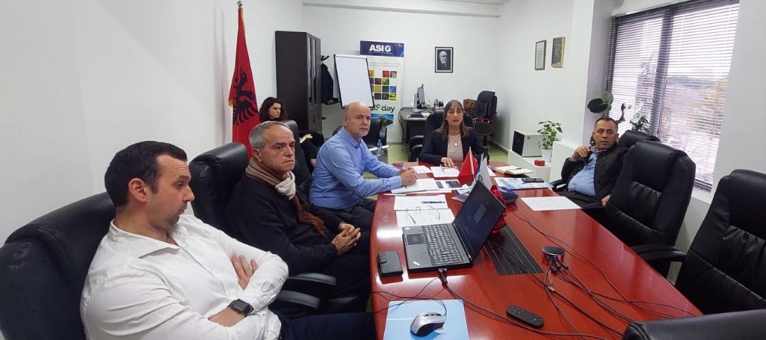
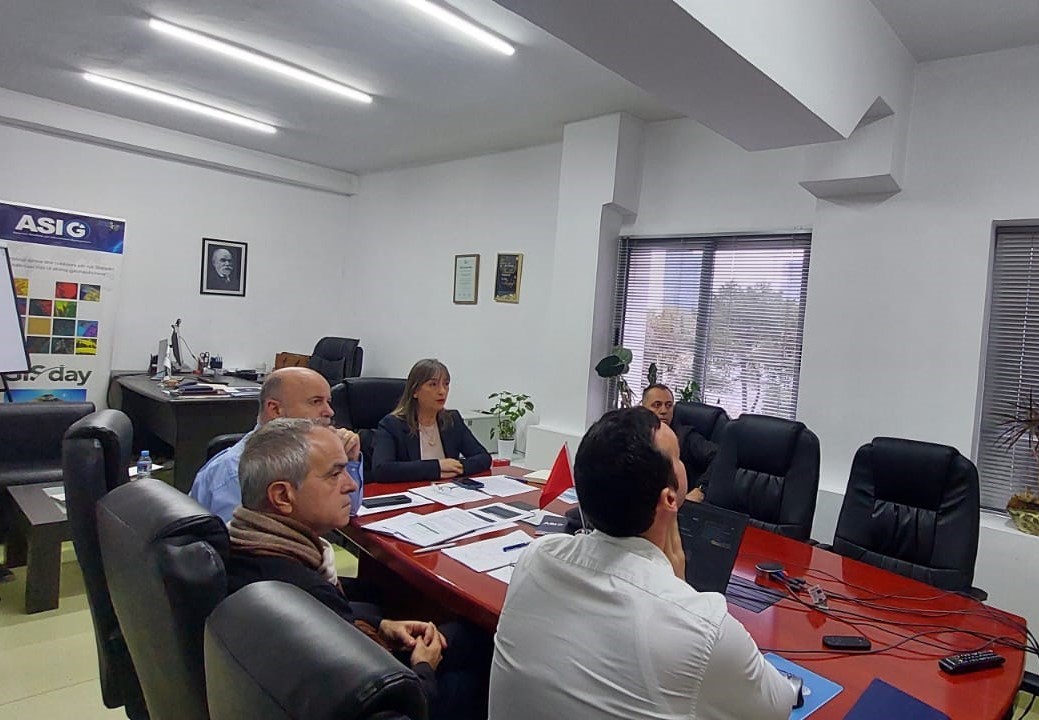
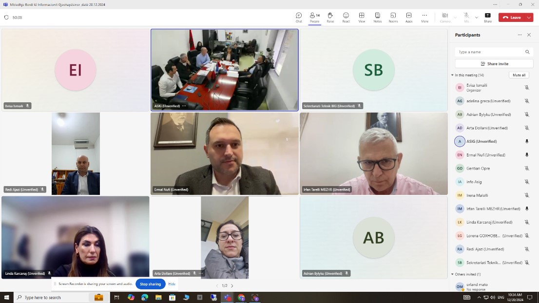
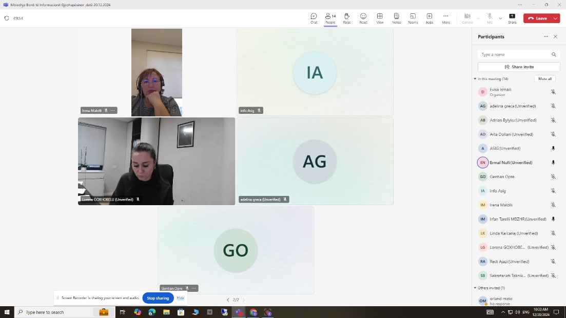
Today, on 20.12.2024, the meeting of the BIG Geospatial Information Board was held online under the chairmanship of the board chairman, Mr. Ermal Nufi, Director of the Deputy Prime Minister’s Office.
All members of the BIG were present at the meeting.
The General Director of ASIG, Ms. Vilma Tomço, informed the board members about the latest legal changes that regulate the activity of ASIG, the achievements of this institution during 2024, the problems encountered, as well as the projects that ASIG has planned to develop during 2025.
The chairman of the board, Mr. Ermal Nufi, thanked the ASIG staff for the work done and gave his recommendations, especially regarding the use of satellite service products by public institutions. He also requested the technical departments of ASIG to prepare a detailed report for this purpose.
ASIG and the Department of Geography organize the GIS Day Forum
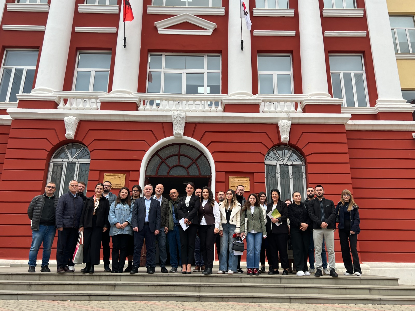
State Authority for Geospatial Information (ASIG) in cooperation with the Department of Geography at the Faculty of History and Philology (FHF) of the University of Tirana, organized the GIS Day Forum today.
International GIS Day is organized around the world and aims to highlight the important role of Geospatial Information Systems (GIS) in making quick and fair decisions, in solving complex problems related to the environment, urban planning, development economic etc..
This forum moderated by a Sonila Xhafa, Head of the Department of Geography, was greeted by the Vice Rector of the University of Tirana, prof. dr. mrs. Anila Paparisto, General Director of ASIG dr. Ms. Vilma Tomço, Dean of the Faculty of History and Philology, prof. dr. Mr. Mark Marku and Vice President of the Academic Senate prof. dr. Sokol Axemi.
The “International GIS Day” forum brought together professionals and experts in this sector from public and private institutions, the academic and business world who shared their experience in various projects and applications of GIS, with the aim of promoting cooperation and innovation in technologies. geospatial.
The focus of their speech was the strengthening of cooperation between institutions and the academic world in order to increase human capacities through the preparation of new specialists in accordance with the country’s development priorities, conducting research expertise and integrating teaching with scientific research, for the use of opportunities created by technology in the field of geoinformation.
This forum assessed the importance of signing a cooperation agreement between the State Authority for Geospatial Information (ASIG) and the University of Tirana, which is expected to be signed in the coming days.
Activities of ASIG within GIS Day
State Authority for Geospatial Information ASIG organized today some activities that precede the events within the framework of the International GIS Day (GIS Day).
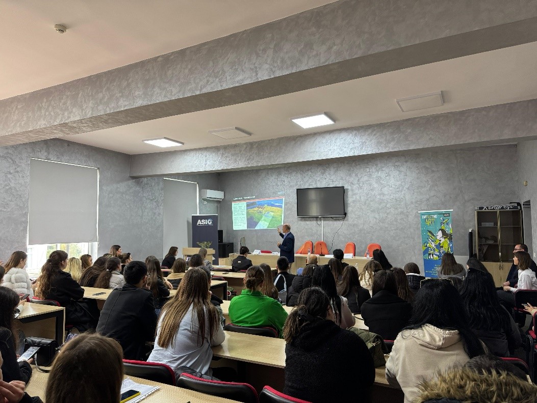
Focusing on the importance of geospatial information today and the ever-increasing interest in the use of Geospatial Information Systems (GIS), ASIG organized a discussion forum with field and academic and technical experts as well as an open lecture with students from the Department of Geography, Faculty of History and Philology, University of Tirana, with the topic: “Monitoring the territory with Remote Sensing technology”.
Also today, an interactive lesson was held with the students of the “Karl Gega” Vocational High School, where the ASIG experts closely demonstrated the functionalities of the ASIG National Geoportal to the students of this school, and introduced them to the published geospatial data. in this Geoportal.
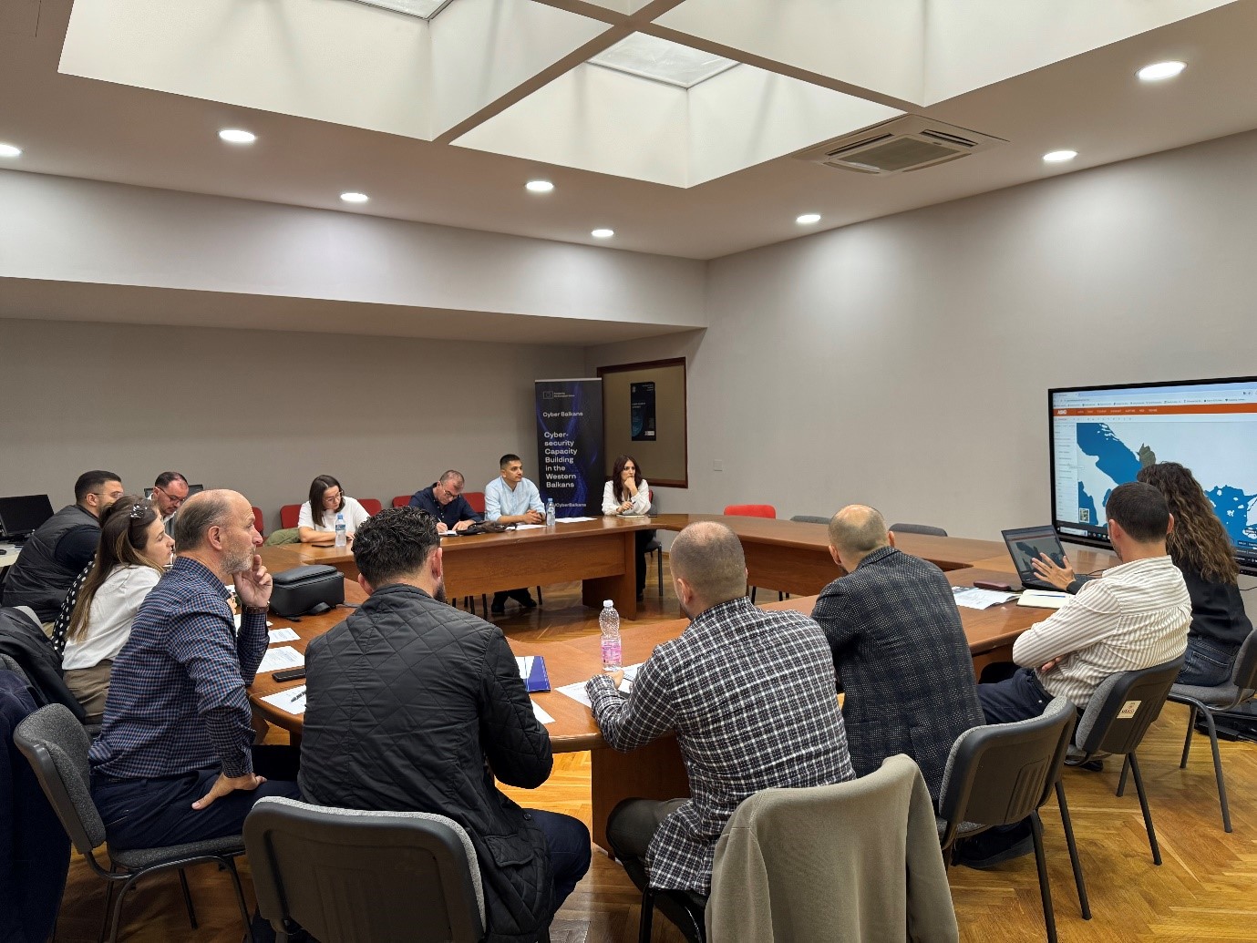
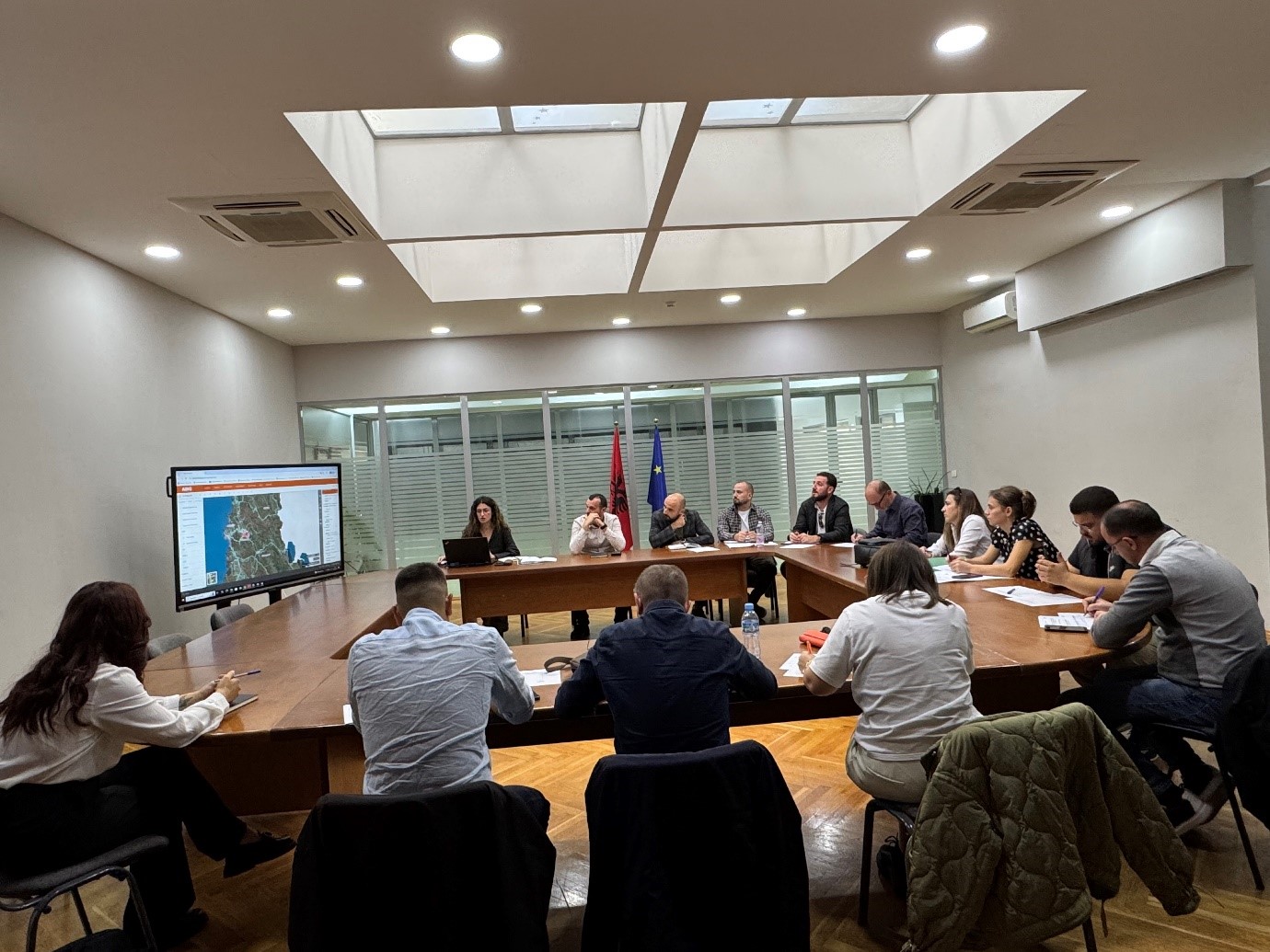
Training with the technical staff of the municipality of Përmet
The trainings for increasing the capacities of the technical staff of the country’s municipalities by the experts of State Authority for Geospatial Information continue.
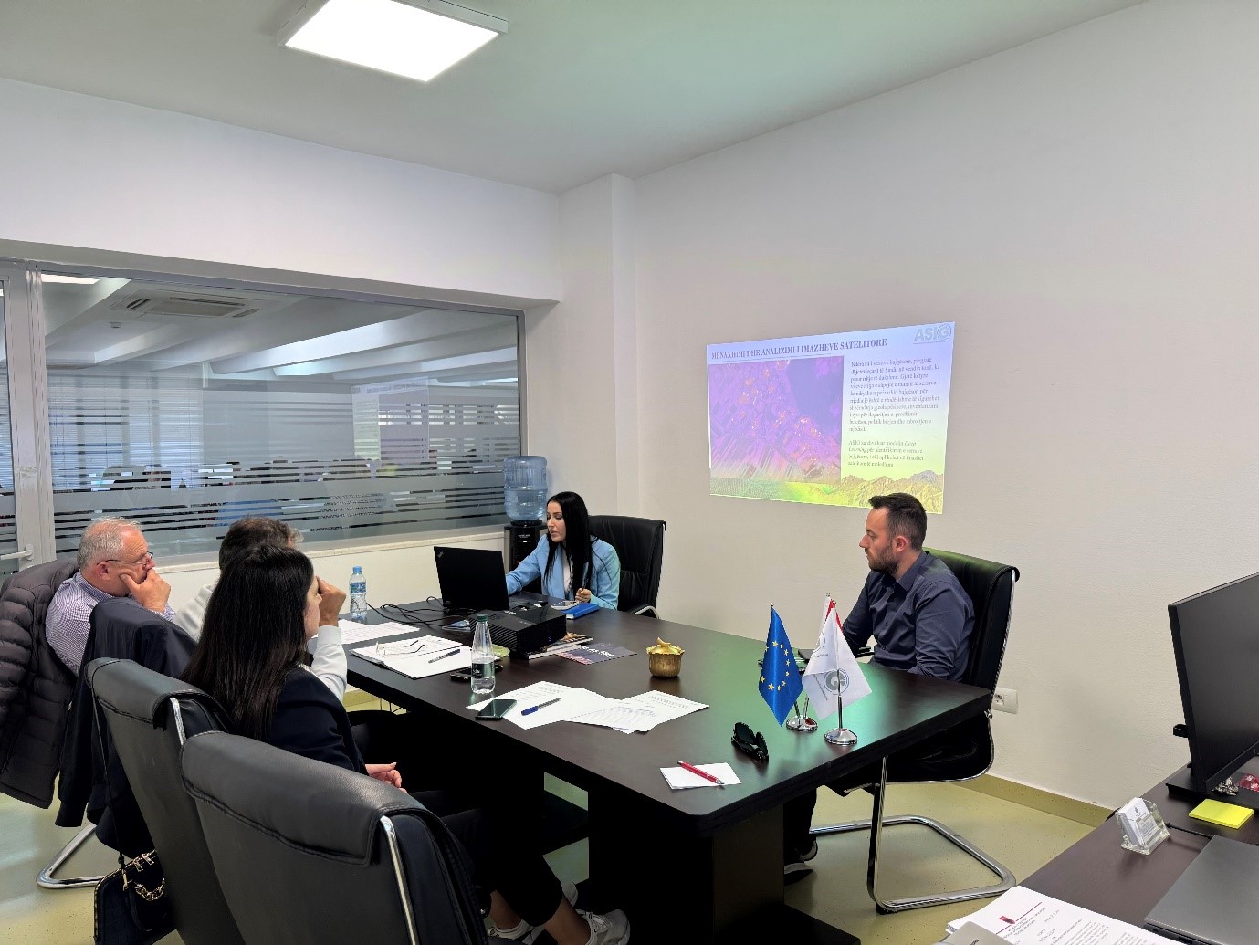
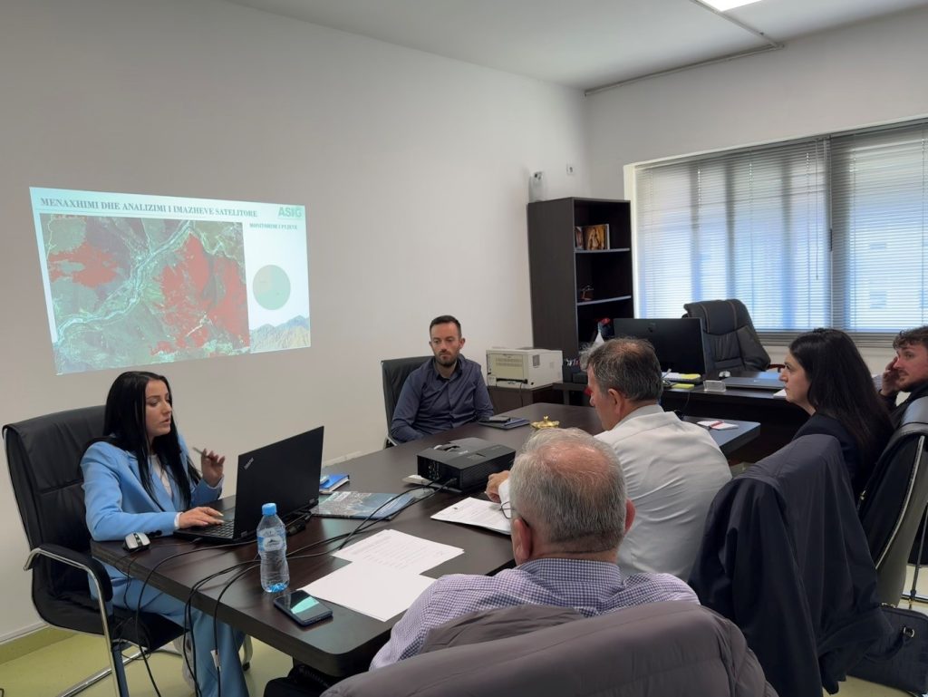
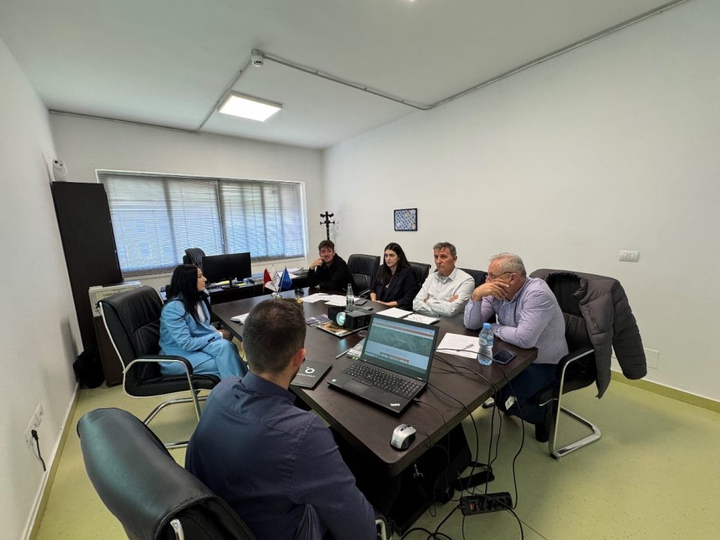
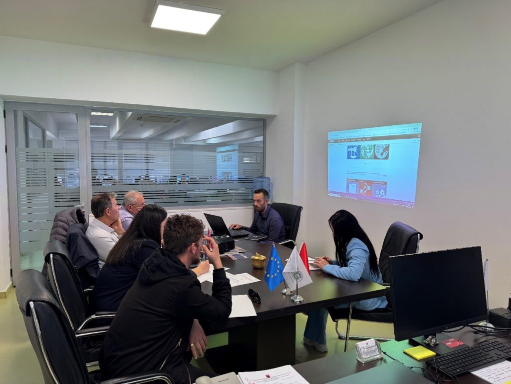
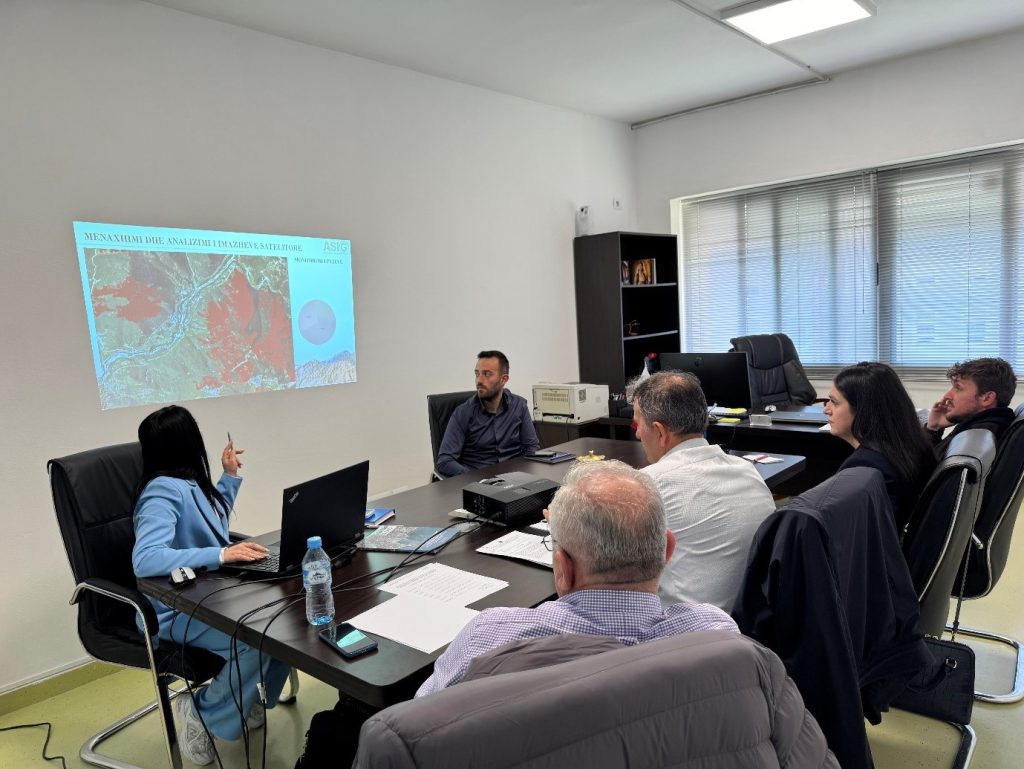
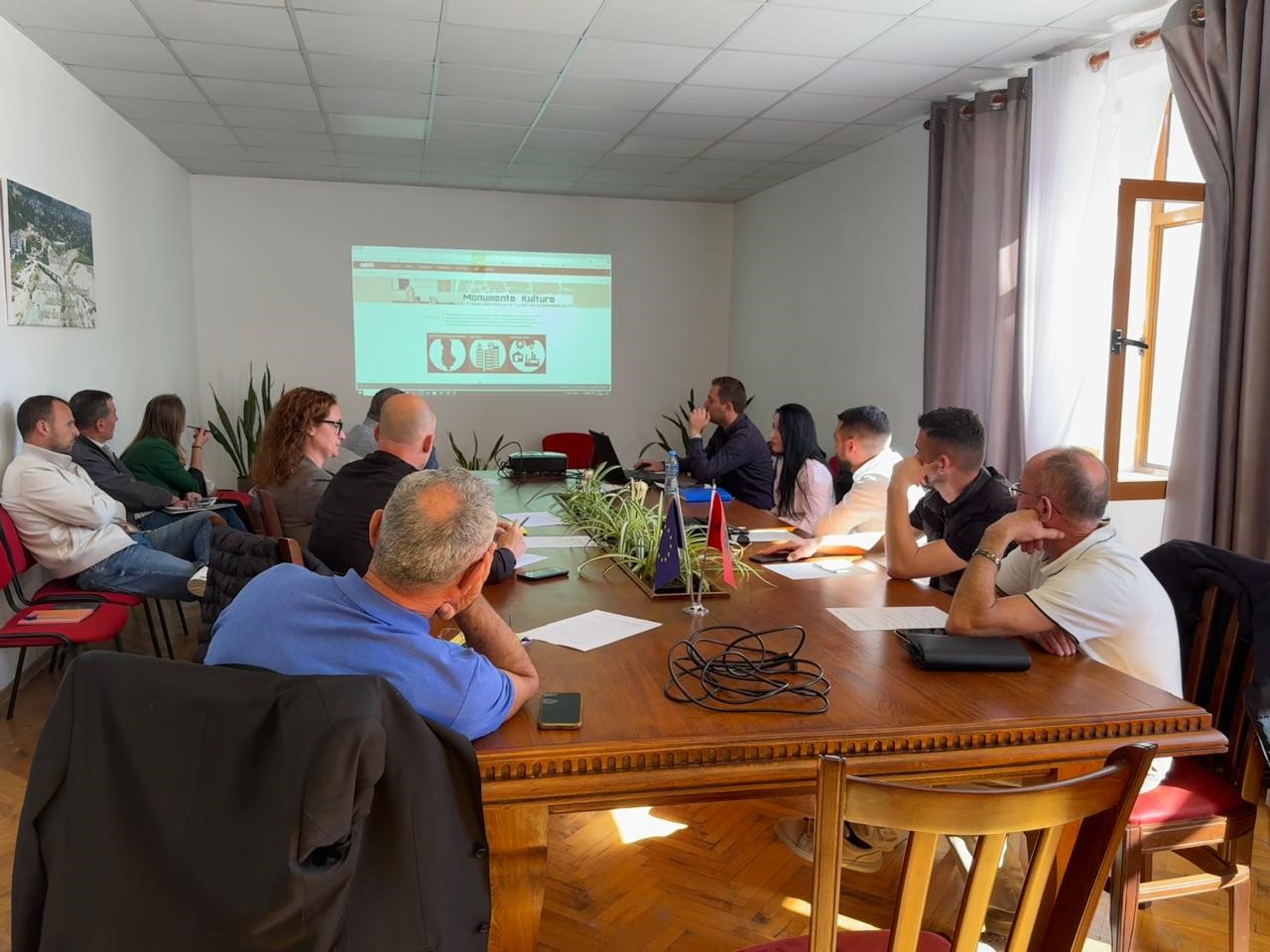
A training session with the technical staff of the Përmet municipality took place today at the premises of ASIG, where the topics covered in this training were:
- Use and functionalities of the National Geoportal;
- Data collection according to geoinformation topics for: Administrative units and the villages in their composition (order 4 and 5), Local road transport network;
- Presentation of the products obtained from the Satellite Service project.
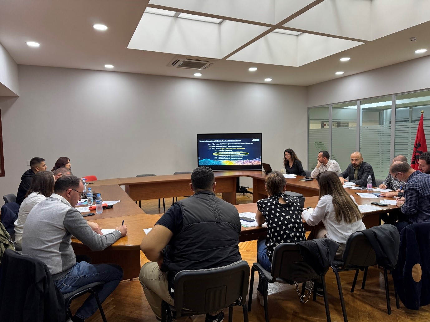
Meeting between ASIG, AKUK and Regional UKs
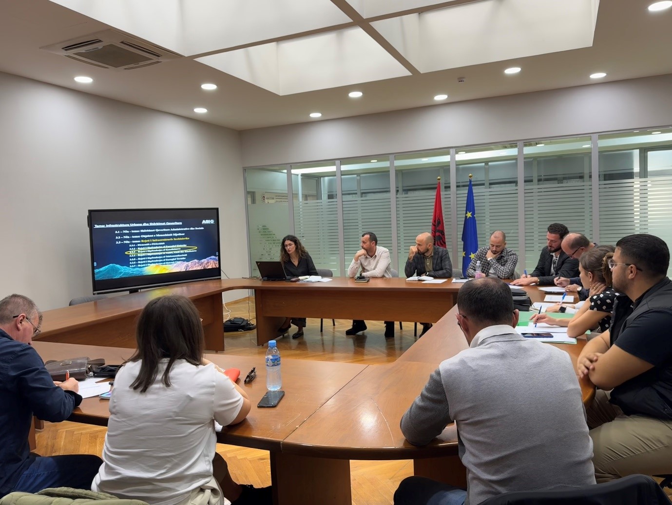
A working meeting between ASIG and representatives of the National Water and Sewerage Agency (AKUK) and Regional Water and Sewerage Societies took place on Friday 25.10.2024, in the premises of the Europa hall.
The focus of this meeting was the discussion on the cooperation that will be pursued with these institutions for the collection and processing of data for the “Water and Sewerage Distribution Network”, which are required to be in accordance with the standard approved by VKM no. 998, dated 09.12.2020, on the subject: “Urban infrastructure and government services”.
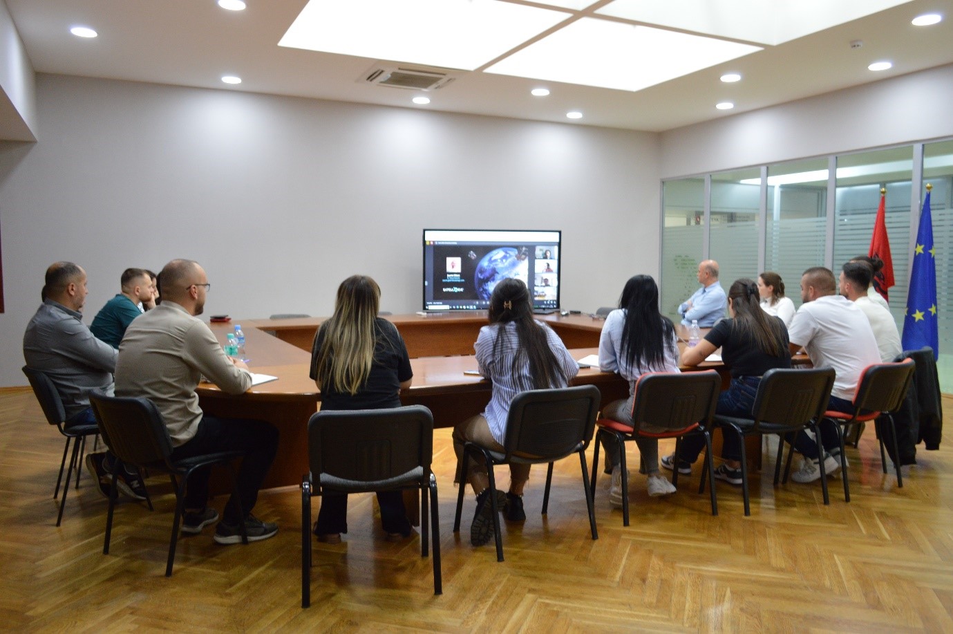
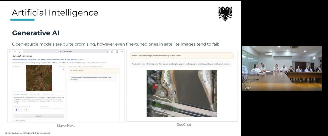
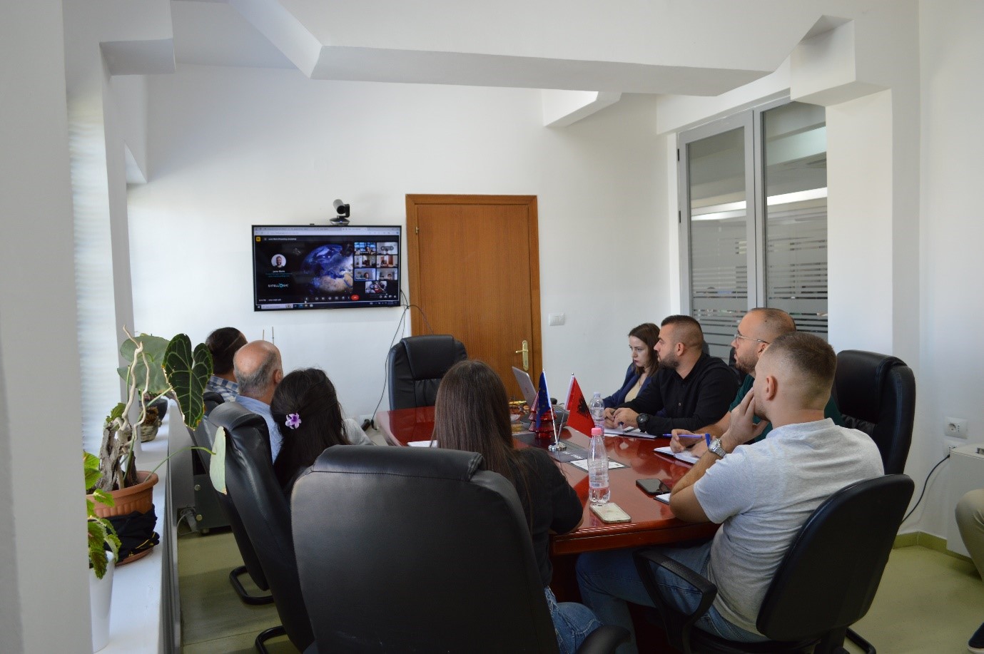
Online training with Satelogic
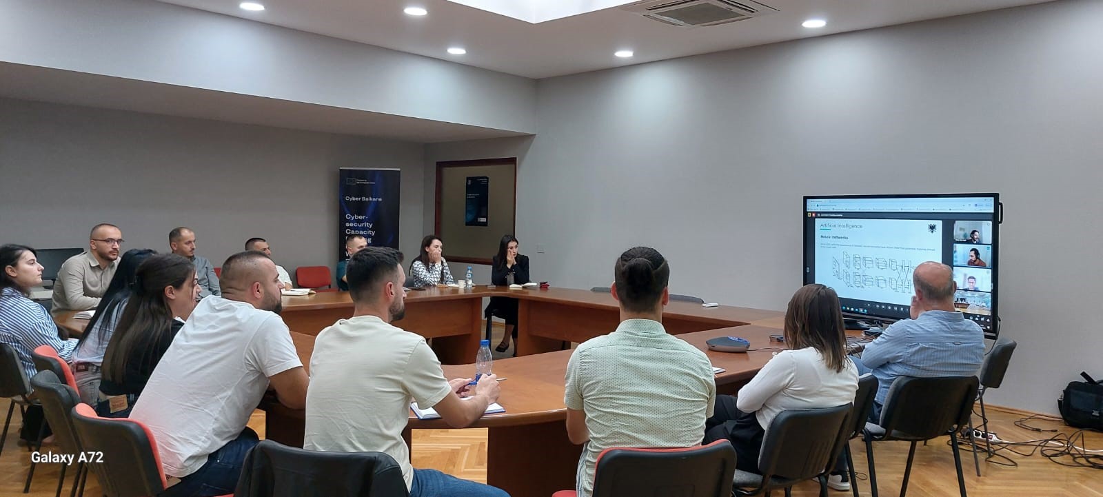
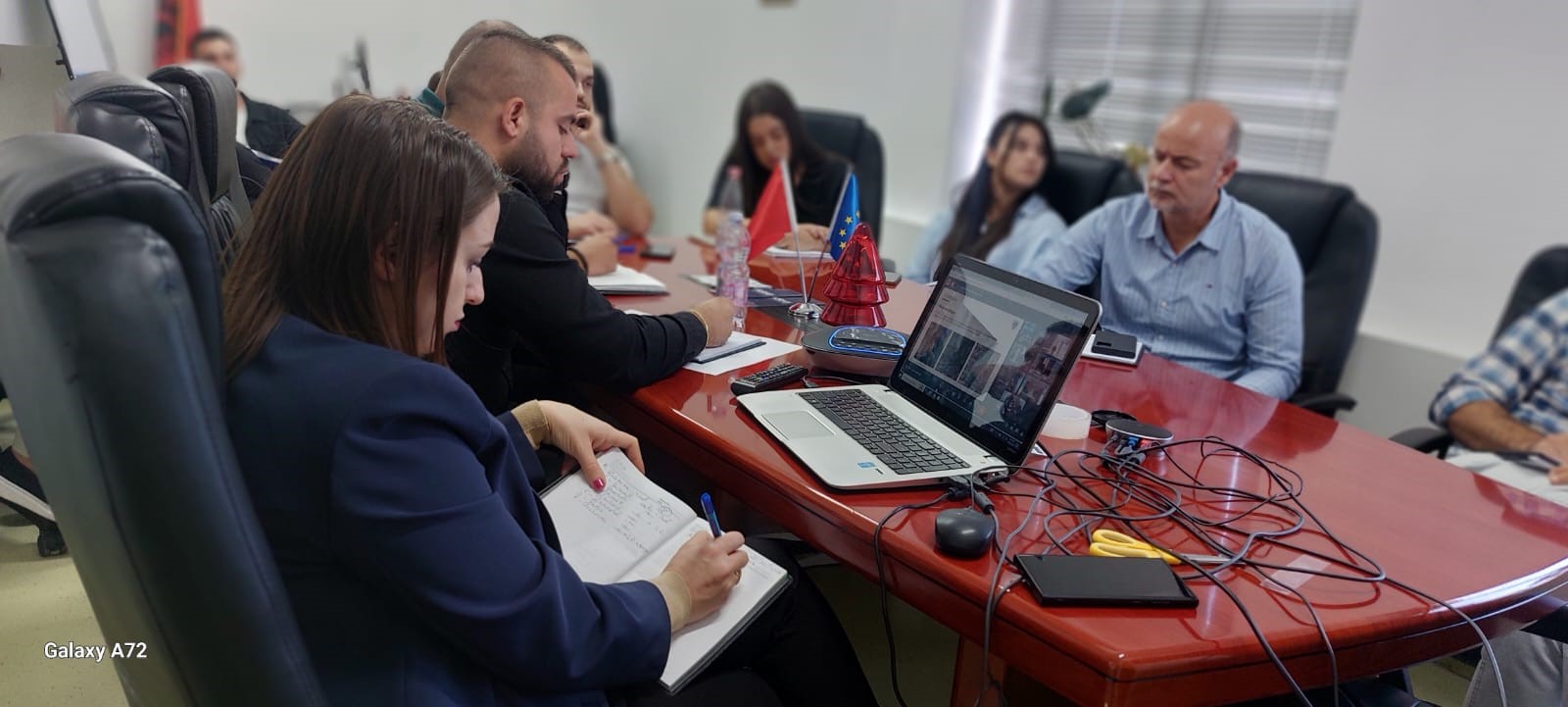
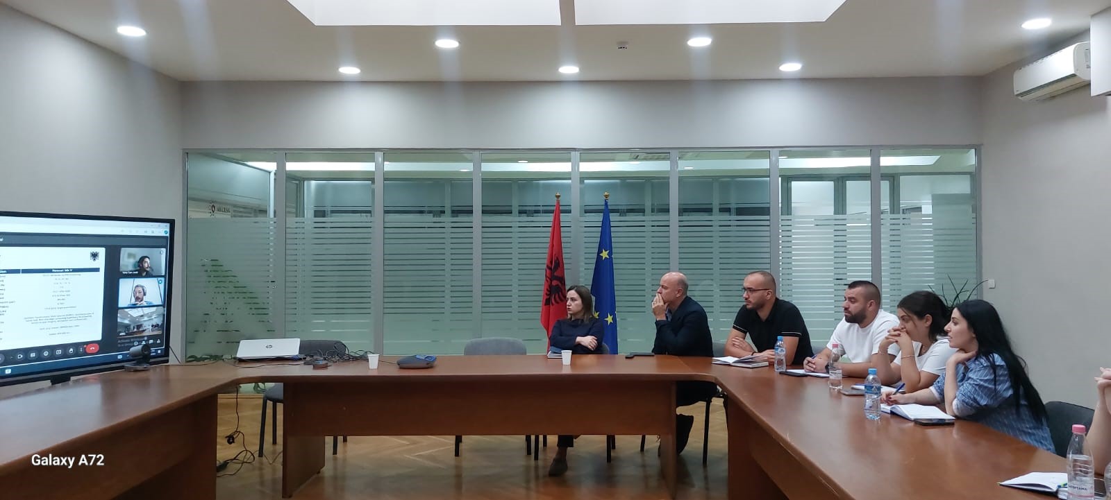
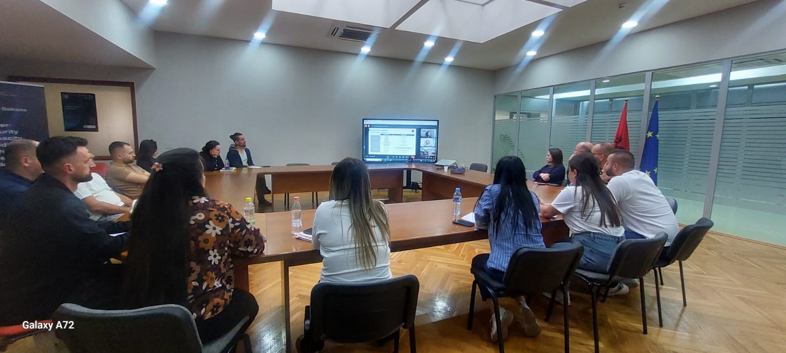
The Directorate of Remote Sensing Data Processing conducted on October 21, 22 and 24 an on-line training with the experts of the American company Satelogic.
The topics covered during this training were:
- Artificial Intelligence (AI),
- Introducing the Mark V Satellite.
The staff members of this department had the opportunity to discuss during this online meeting with the American experts of Satelogic the current state of technology in terms of AI and the use cases in the industry.
Also of particular interest to the participants was the presentation of the Mark V Satellite, its specifications and current status.
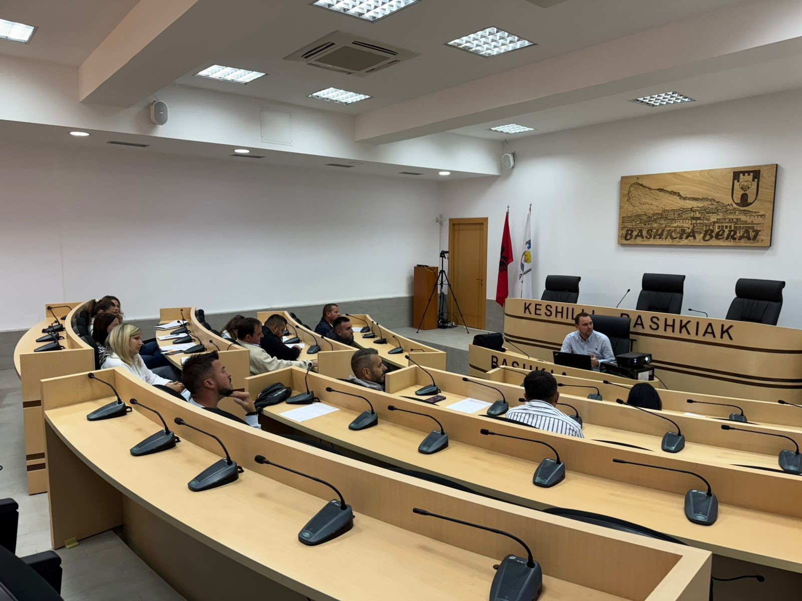
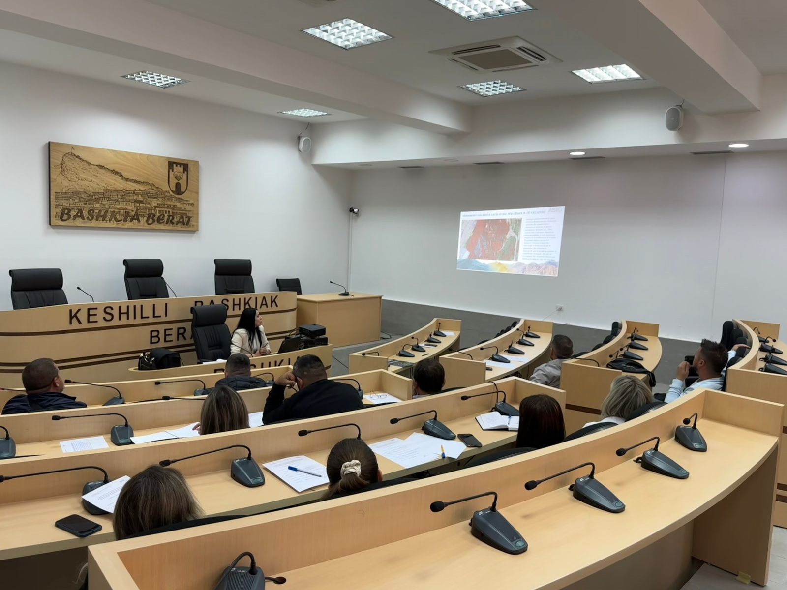
Training with the technical staff of Berat, Kuçova and Dimal municipalities
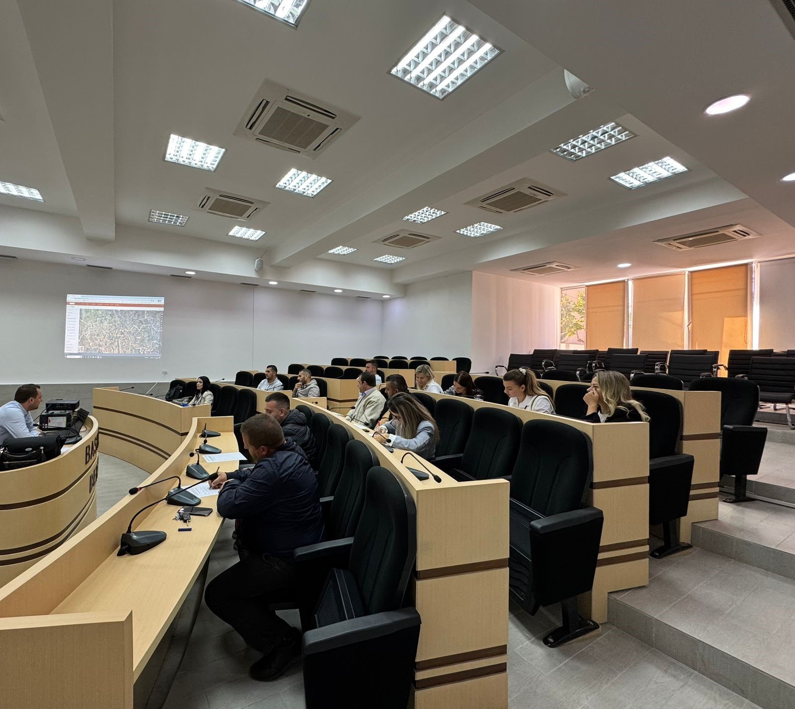
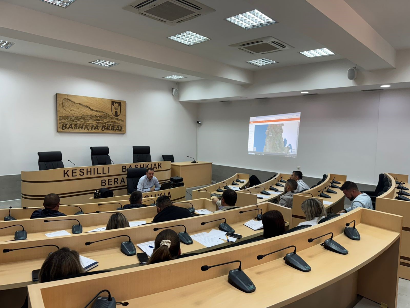
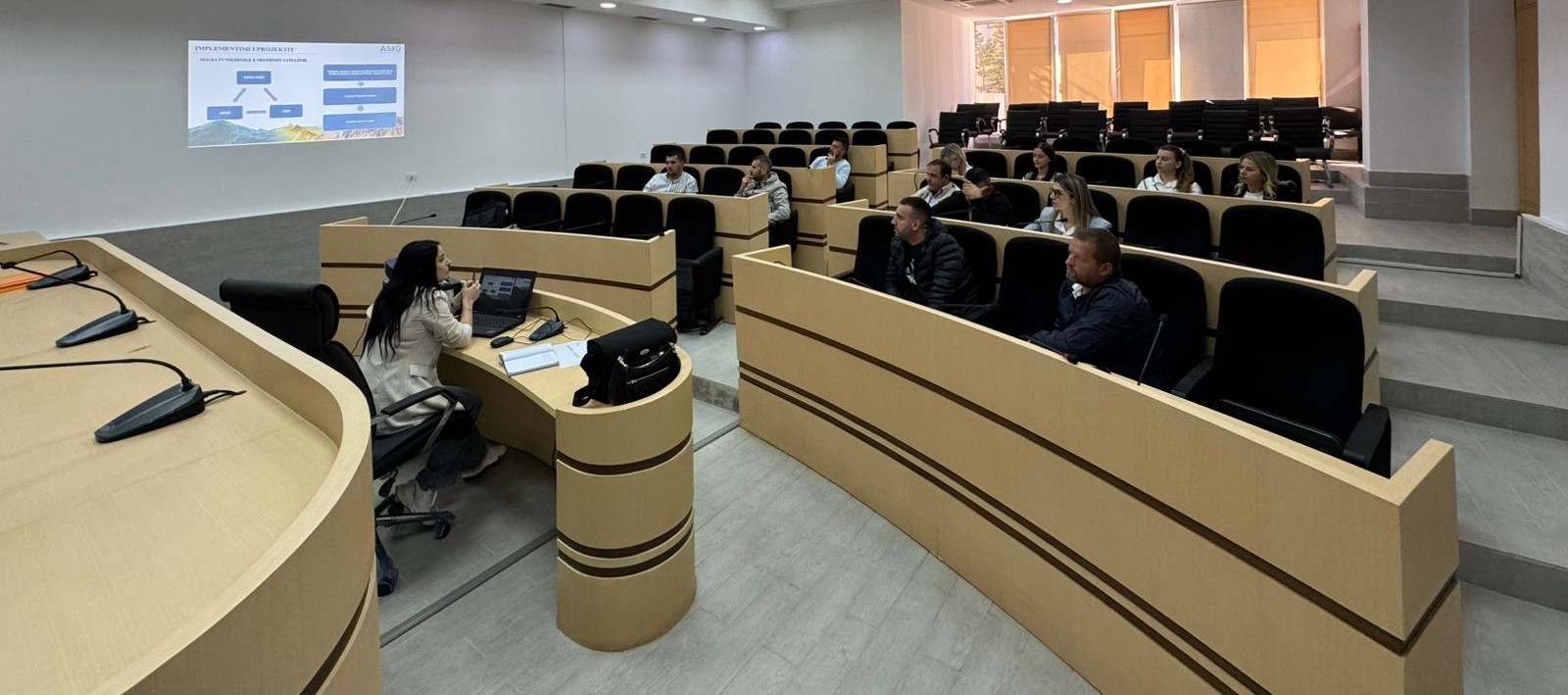
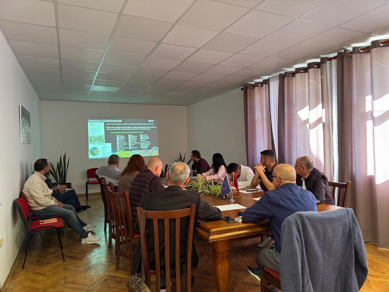
Following the initiative undertaken by ASIG with the aim of increasing the capacities of the technical staff, ASIG experts conducted today the training with the technical staff of Berat, Kuçovo and Dimal municipalities.
Representatives from the following structures participated in this training:
- Directorate of Urban Planning, Permits and Investment Monitoring;
- Directorate of Urban Planning;
- Directorate of Agriculture, Forestry, Water Administration and Veterinary Service.
Training with the technical staff of Skrapar and Poliçan Municipalities
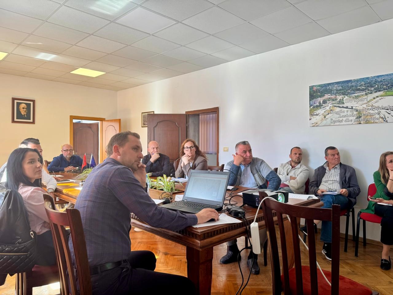
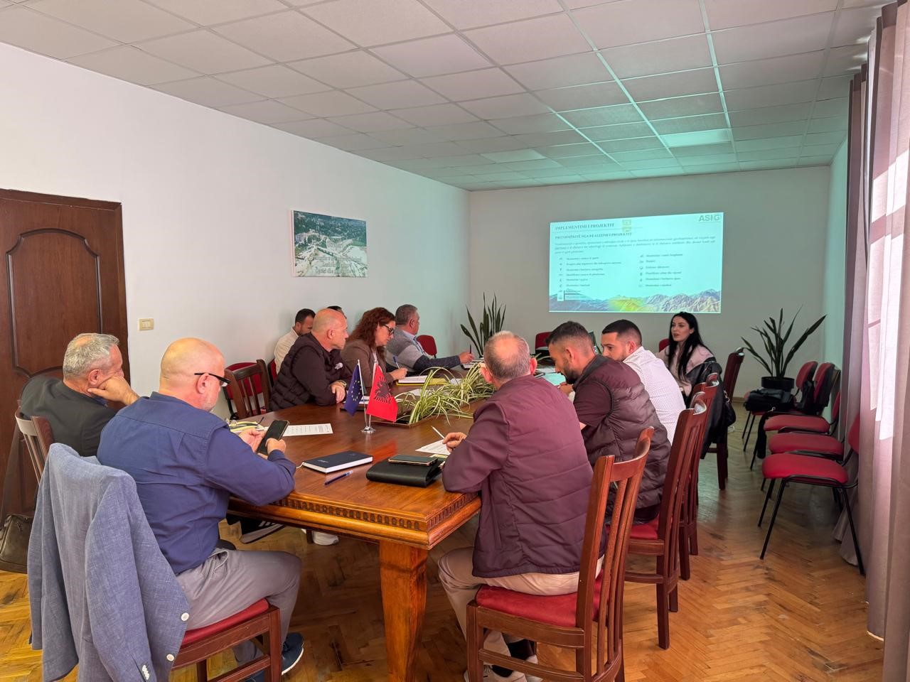
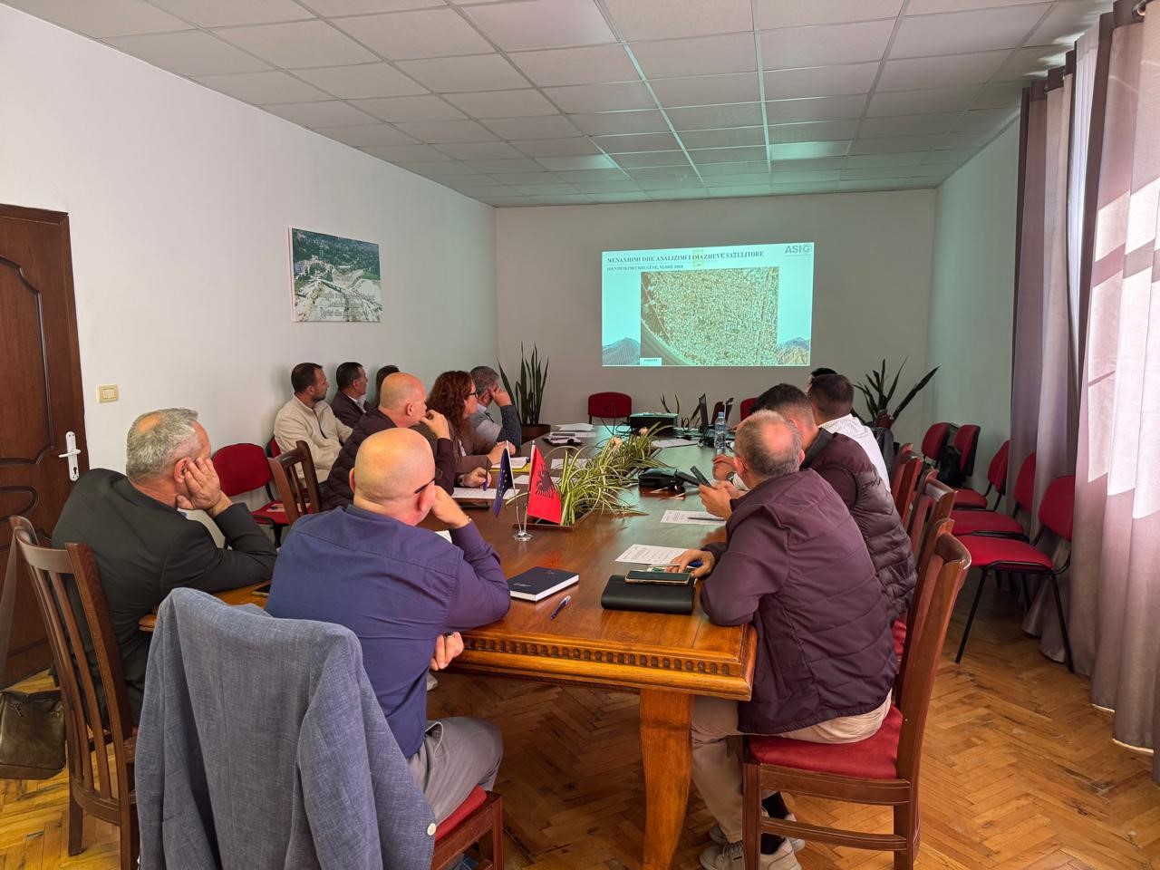
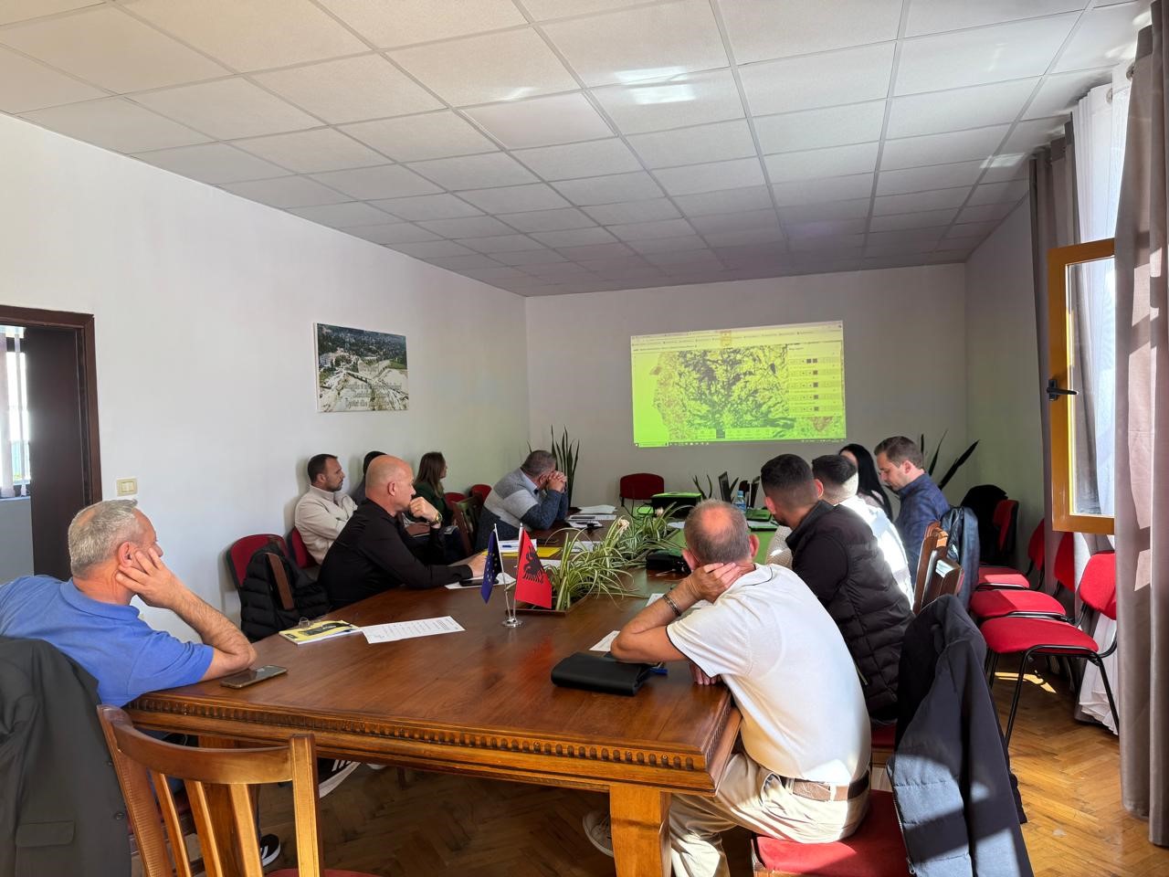
As part of the initiative undertaken by ASIG with the aim of increasing the capacities of the technical staff of local government units, ASIG experts conducted today the training with the technical staff of Skrapar and Poliçan Municipalities.
The topics covered in this training were:
- Acquaintance with the functionalities of the National Geoportal;
- Data collection according to geoinformation topics for: Administrative units and the villages in their composition (order 4 and 5), Local road transport network;
- Presentation of the products obtained from the Satellite Service project.
Study visit in ASIG
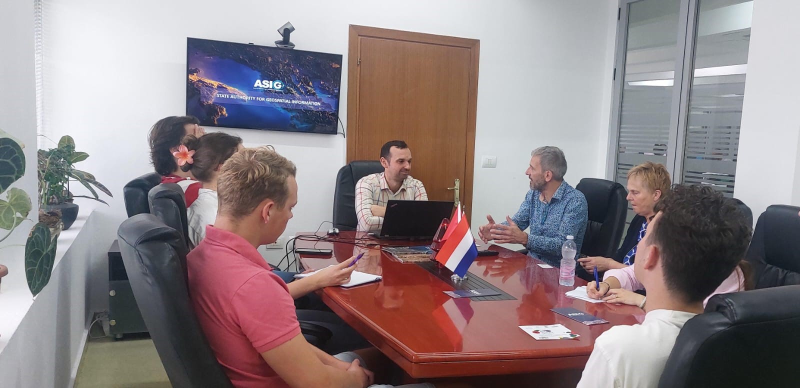
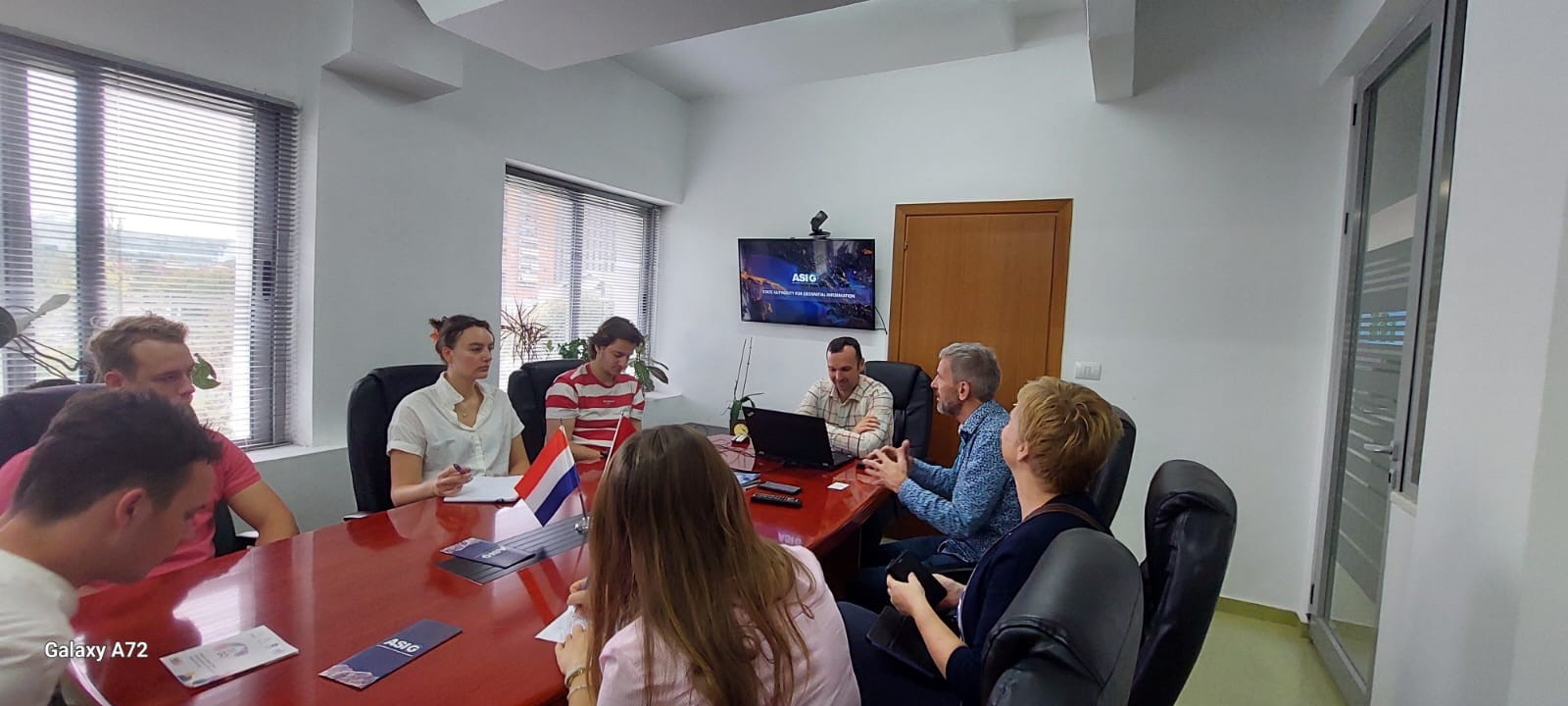
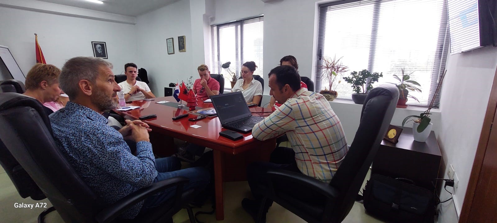
Representatives of the State Authority for Geospatial Information received on Friday 18.10.2024, at the premises of ASIG, a group of professors and students from the Saxion University of Applied Sciences in the Netherlands.
The purpose of this study visit was to select ASIG as a practical case related to the various projects that this group is developing in relation to the construction of houses within the context of the sustainable development of urban areas, where data and services were of particular interest to them, that ASIG offers on the National Geoportal.
The director of the National GIS and Geoportal after making a presentation of the achievements of ASIG in the field of geoinformation, the steps taken in the construction of NSDI, and the future projects of our institution, also familiarized the visitors in more detail with the data and services of published on the ASIG National Geoportal.
Training with the technical staff of Fushë-Arrëz Municipality
The trainings for increasing the capacities of the technical staff of the country’s municipalities by the experts of the State Authority for Geospatial Information continue.
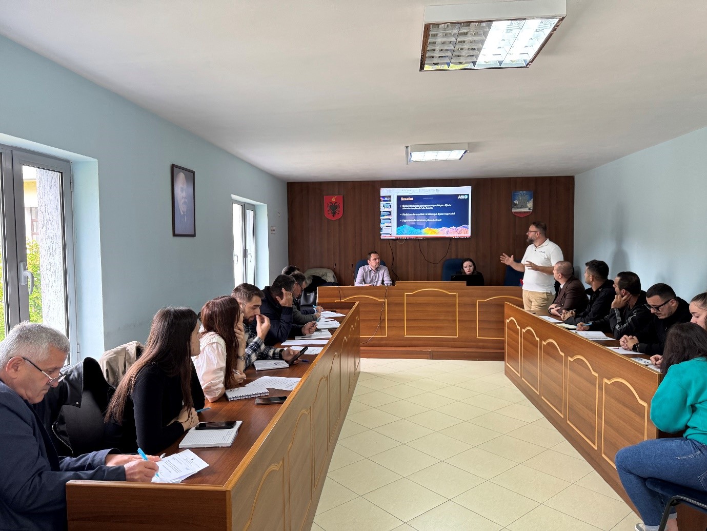
The next training took place today, in the premises of the Fushë-Arrëz Municipality, with the participation of technical staff from:
- Directorate of Urban Planning and Civil Emergencies;
- Directorate of Immigration and Social Affairs;
- Directorate of Forest and Pasture Administration;
- Directorate of Public Services;
- Legal Department;
- Board of Drainage and Agriculture.

