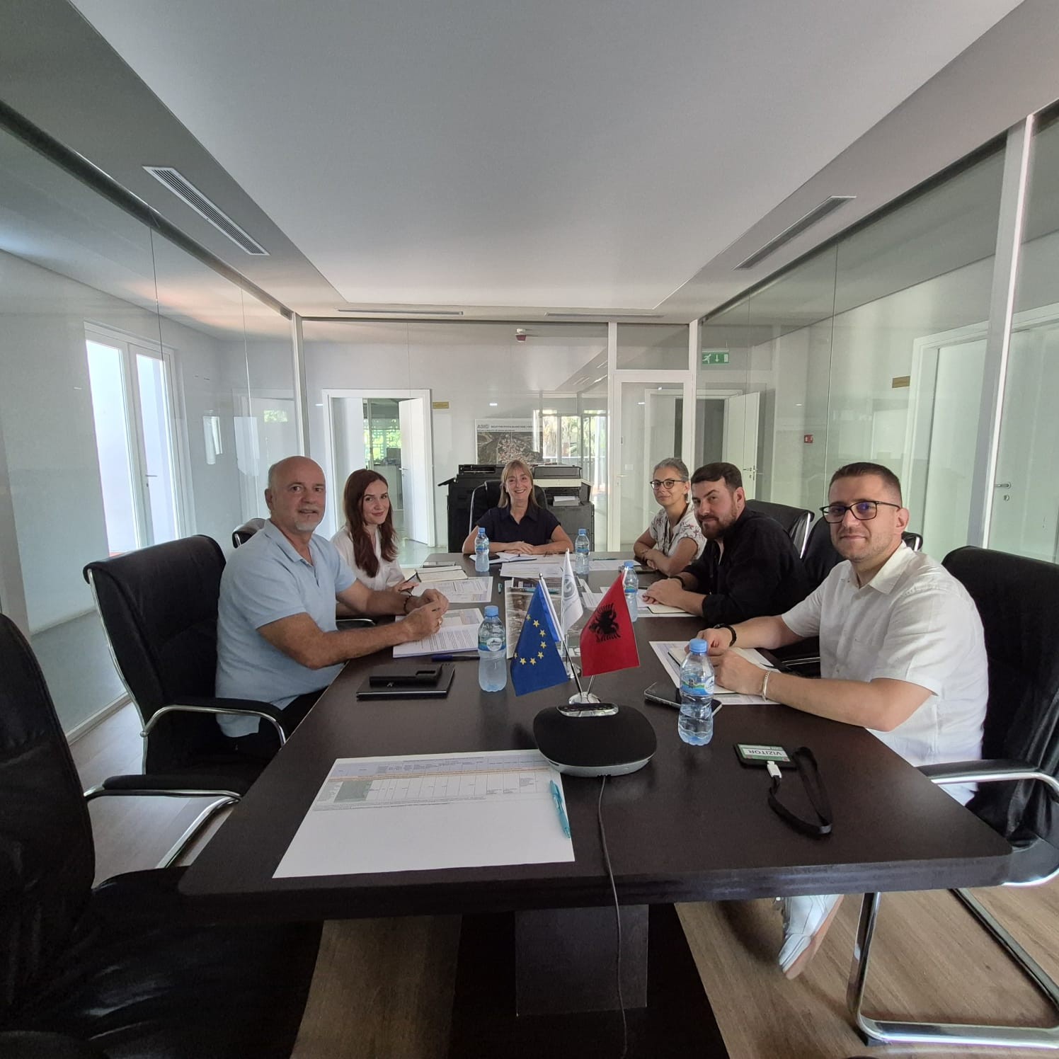
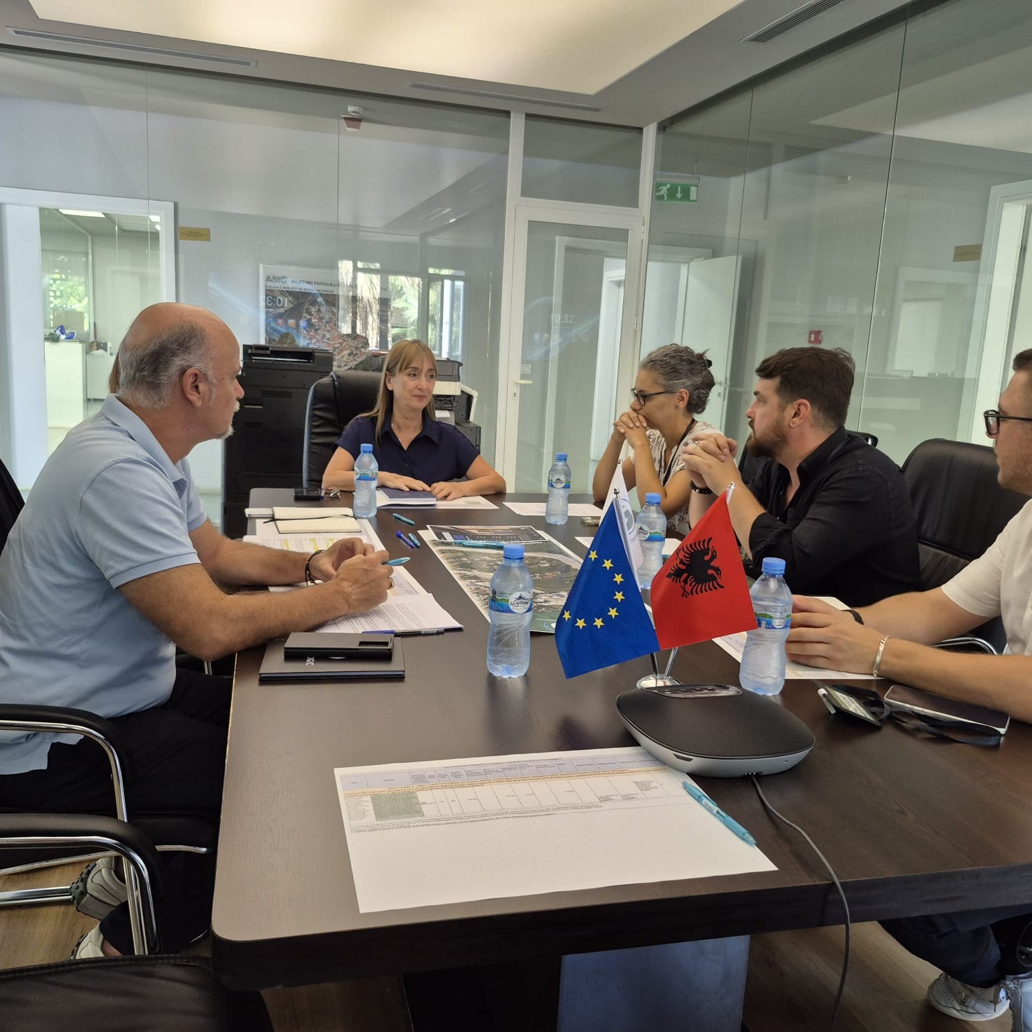
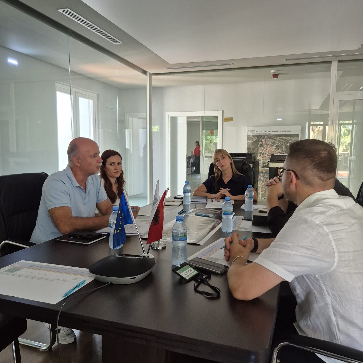
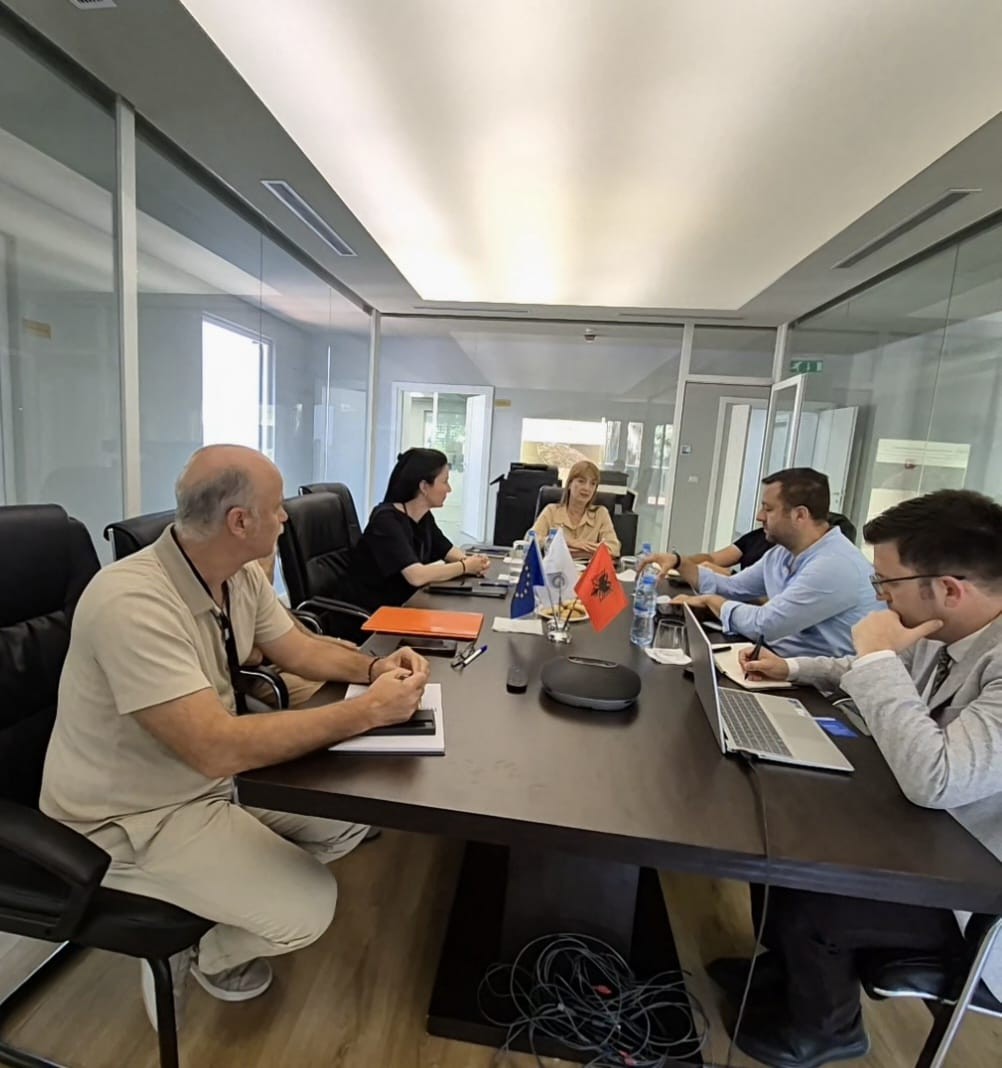
ASIG holds a working meeting within the framework of the implementation of the National Strategy for Smart Specialization (S3)
Following the implementation of the National Strategy for Smart Specialization (S3) and the Action Plan, the State Authority for Geospatial Information (ASIG) held today the first working meeting focusing on Activity A.3, which aims to create a common platform for cooperation between institutions and business.
Representatives of the Agency for Agricultural and Rural Development (AZHB) and the National Institute of Cultural Heritage (IKTK) were present at this meeting, with the aim of discussing cooperation opportunities, consolidating ideas and identifying institutional needs for the development of joint initiatives within the framework of the priorities of the National Strategy for Smart Specialization.
During the meeting, the importance of integrating geospatial intelligence with strategic development priorities was emphasized, as an important element for promoting innovation, technological and economic development of Albania until 2030.
This cooperation aims to create a favorable environment for the identification and development of projects funded by the European Union, increasing the use of new technologies and geospatial information in the service of sustainable development.
ASIG at EUREF 2026
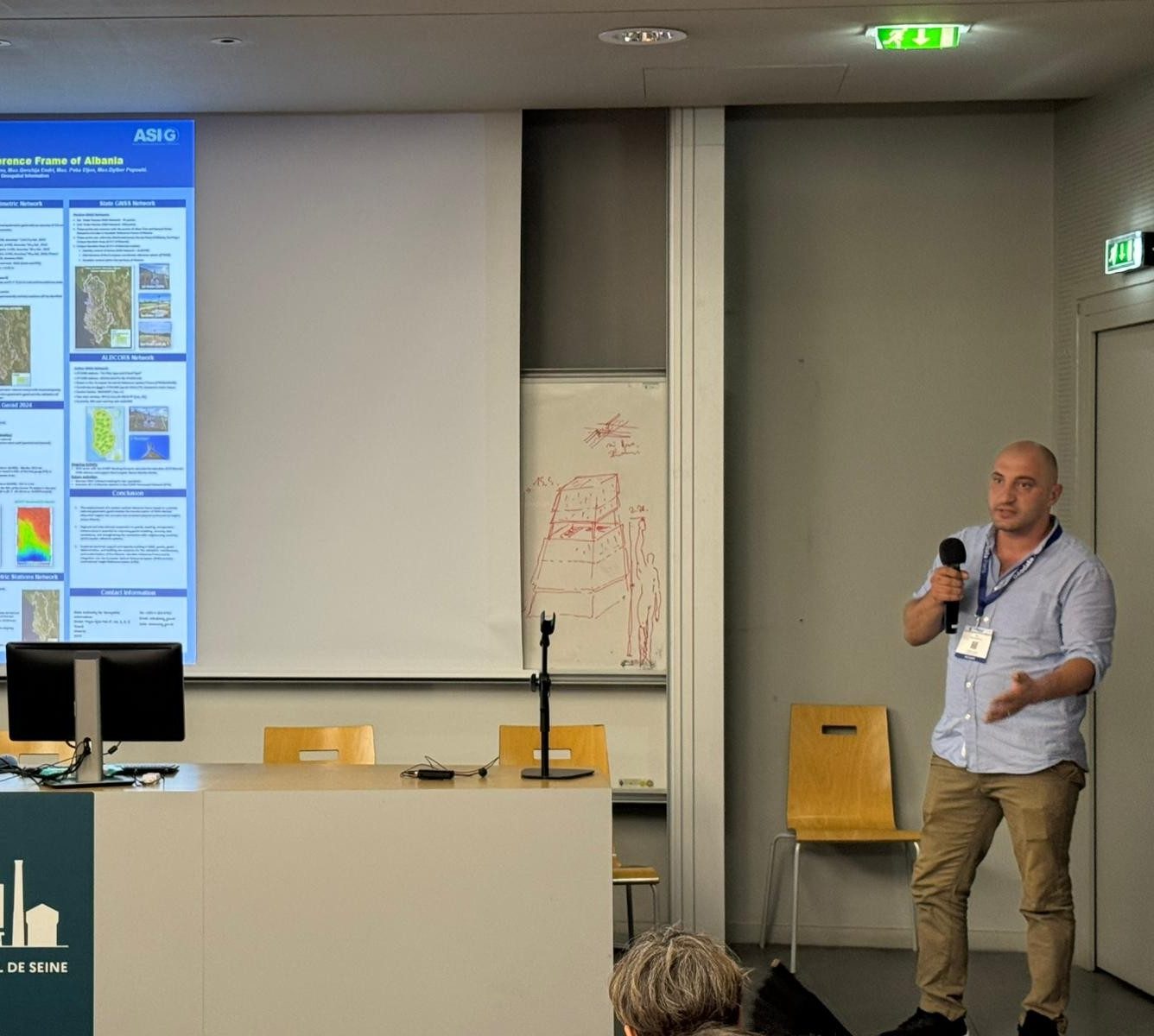
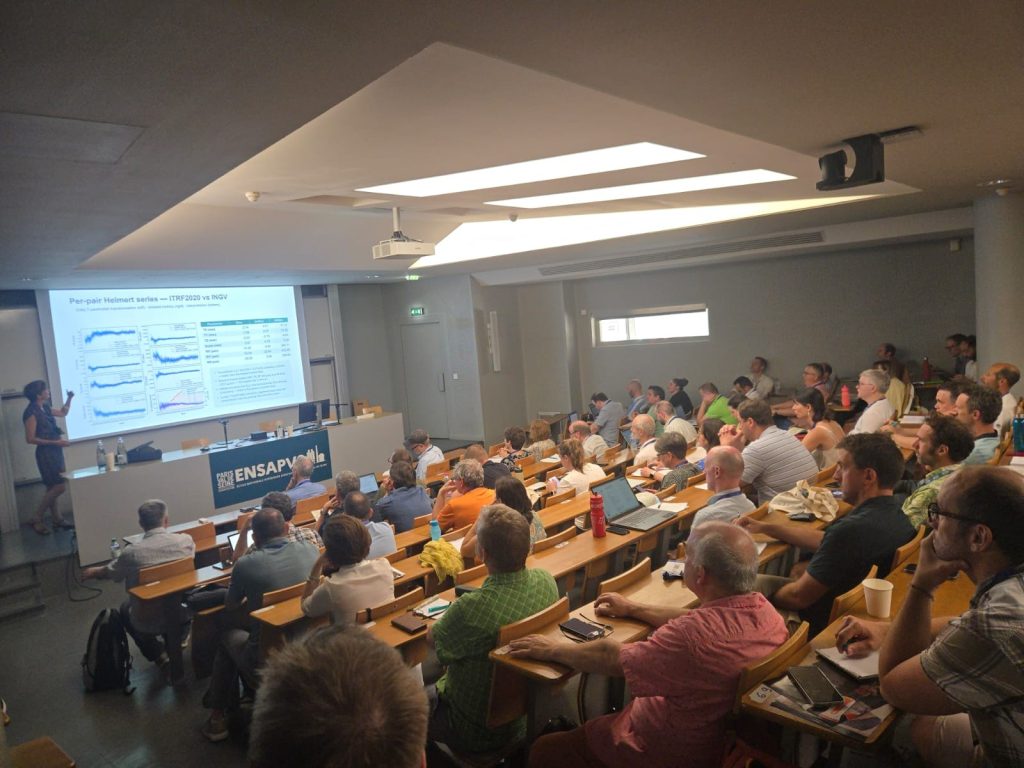
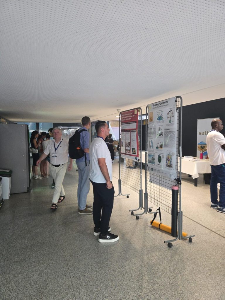
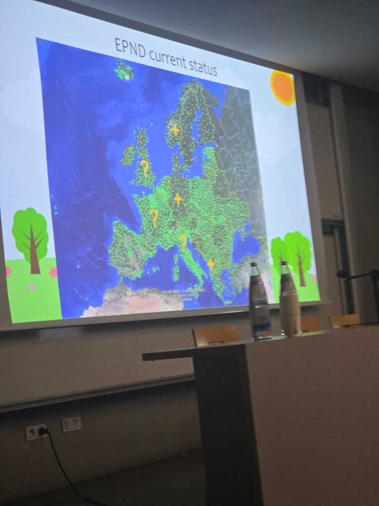
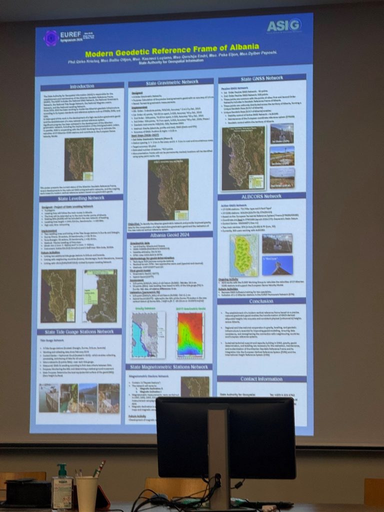
State Authority for Geospatial Information (ASIG) is participating in the EUREF 2026 Symposium, one of the most important annual activities in the field of European geodesy, which is taking place in Paris, France, from 23–25 June 2026, with the participation of European experts and institutions in the field of geodesy.
ASIG representatives from the Geodetic Reference Framework Sector presented and discussed at this symposium the developments, projects and progress of the Albanian Geodetic Reference Framework (AGRF), in the context of its modernization according to European standards.
The main focus of their presentation was:
- Calculation of the geoid in Albania, as a basis for the new modern vertical reference of the country,
- Determination of velocity vectors for the 27 ALBCORS stations, in collaboration with the EUREF Working Group on “EPN Densification”, as well as their integration into the European Dense Velocity Model.
Also, during EUREF 2026, the most interesting topics of the moment in the field of geodesy were addressed, such as:
- European reference systems ETRS89/ETRF and EVRF,
- EUREF Permanent Network (EPN),
- GNSS technologies,
- Quantum gravimetry and atomic clock levelling,
- National reports on the development of geodetic infrastructures in European countries.
ASIG’s participation in this activity represents an important opportunity to exchange knowledge and experiences with the European geodesy community, as well as to be part of discussions on the latest developments in the field of geodetic reference systems, modern technologies and geospatial information.
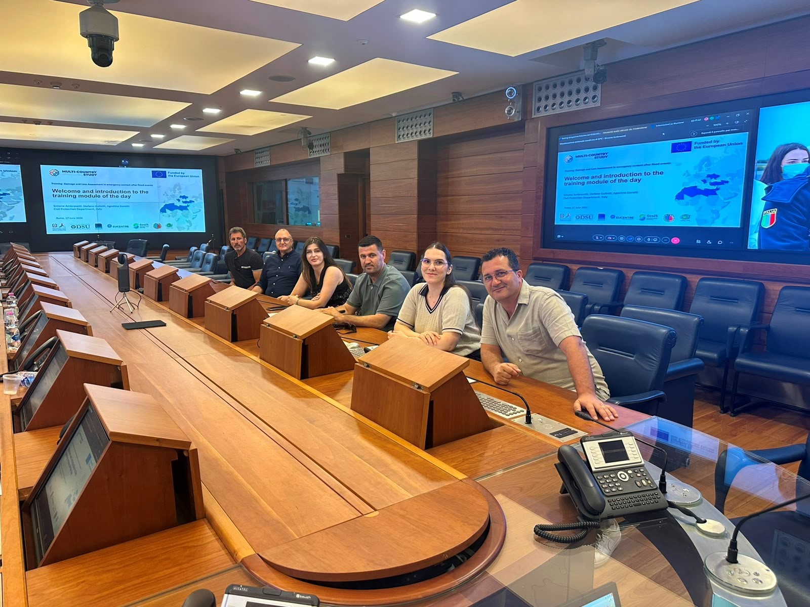
A study visit to Italy on the assessment of damages and losses after natural disasters is held
On 17–19 June 2026, a representative of the State Authority for Geospatial Information participated in the international activity “Damage and Loss Assessment in Emergency Context after Flood Events”, organized by the Italian Department of Civil Protection, with the participation of experts from Albania, Montenegro and Palestine.
The focus of this activity was the management of the processes of assessing damages and losses after floods, the legal and institutional procedures of emergency management, as well as the practices of planning and inter-institutional coordination in the post-emergency phase.
During this study visit, the participants were introduced to the Italian national civil protection system, the procedures for declaring a state of emergency, the mechanisms for assessing needs and measures for overcoming emergency situations.
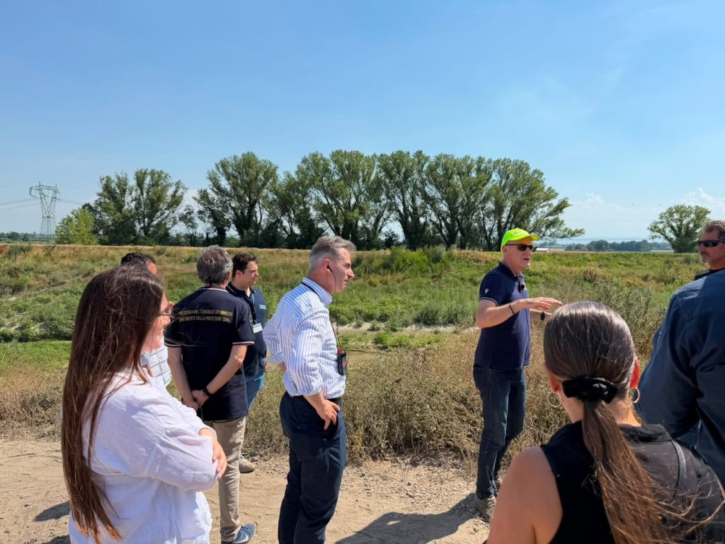
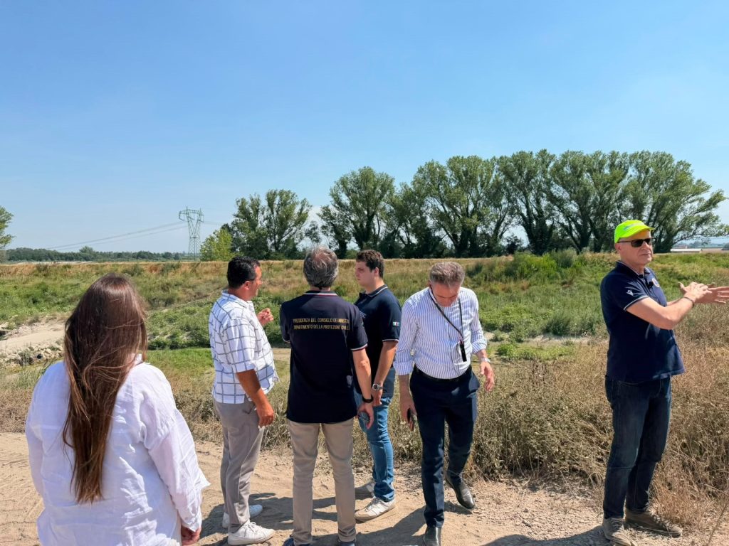
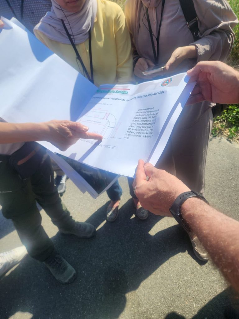
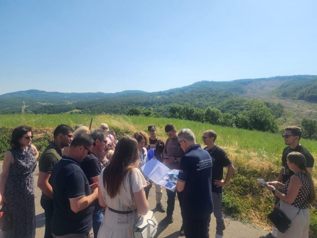
The program continued in the Emilia-Romagna Region and Val di Sambro where the delegation held institutional meetings with the Regional Civil Protection Agency and visits to the areas affected by the floods of 2023–2024. The participants were closely acquainted with the interventions carried out on the Idice and Lamone rivers, the post-event assessment processes, the coordination practices between local and regional authorities as well as the management of landslides and the measures taken to reduce risk.
Participation in this activity contributes to strengthening the professional capacities of the participating institutions in the field of damage assessment, recovery planning and risk management from natural disasters.
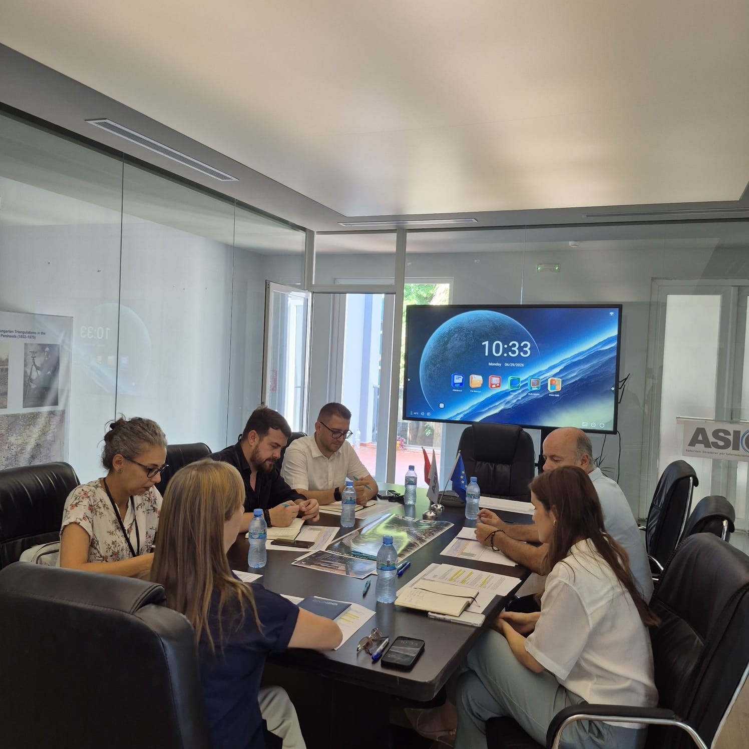
Meeting on the progress of the aerial photography project in Albania
The next meeting was held yesterday at the ASIG premises between representatives of the Turkish company “Mescioğlu Mühendislik ve Müşavirlik A.Ş.” and the working group responsible from ASIG, within the framework of the project “Digital aerial photography of the territory of the Republic of Albania, production of nadir and oblique oriented aerial images, LIDAR scanning, DTM, trueOrtofoto, orthophoto”.
The meeting was attended by the General Director of ASIG, Ms. Vilma Tomço, and the General Director of AZHBR, Ms. Ardita Kuçi.
During the meeting, the progress of the project to date was presented as well as the activities planned for the implementation of the project.
The aerial photography project constitutes an important step for the creation, updating and improvement of geospatial data in Albania, supporting strategic projects and planning and development processes at the national level.
Discussions also focused on the possibility of supporting other public institutions and especially AZHBR and its LPIS project for the administration of agricultural parcels
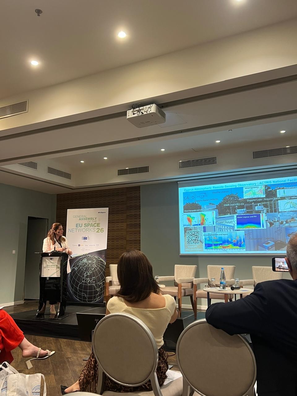
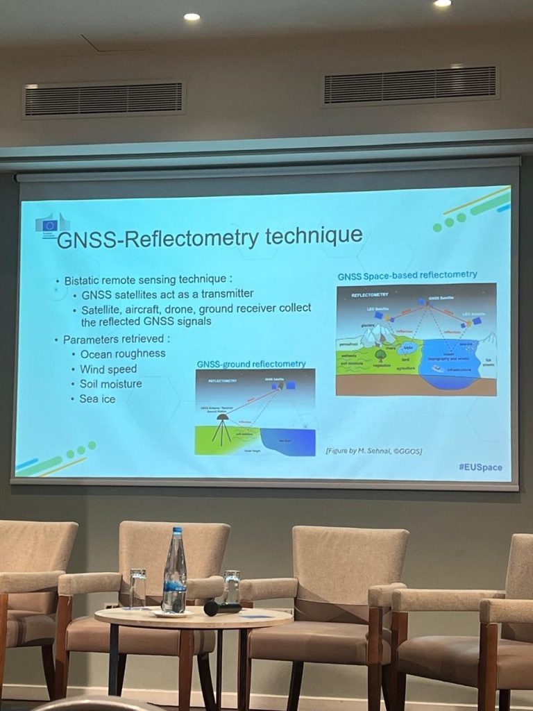
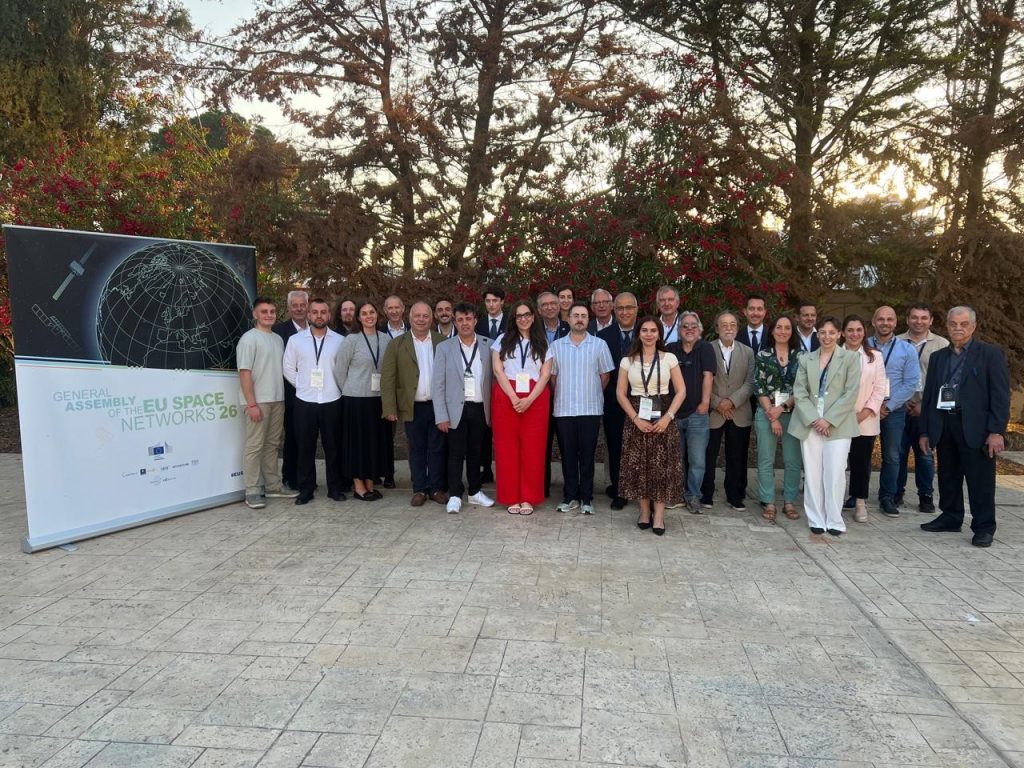
ASIG Participates in the “EU Space Networks General Assembly 2026”
Representatives of the State Authority for Geospatial Information (ASIG) participated in the “EU Space Networks General Assembly 2026” which took place on 27–28 May 2026, in Nicosia, Cyprus.
The focus of this year’s assembly was on the latest developments in the European space sector, cooperation between EU networks and the use of satellite technologies in various fields.
This event brought together representatives of European geoinformation institutions, international organisations and the academic world to discuss key topics related to security, artificial intelligence, satellite communications and space traffic management.
An important topic of the event was the development of Artificial Intelligence and its use for processing Earth Observation data, presenting innovative projects and models for the analysis of satellite data.
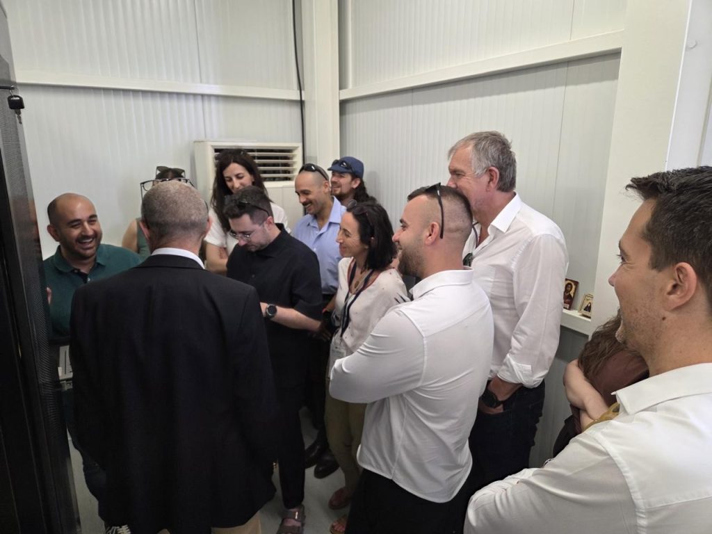
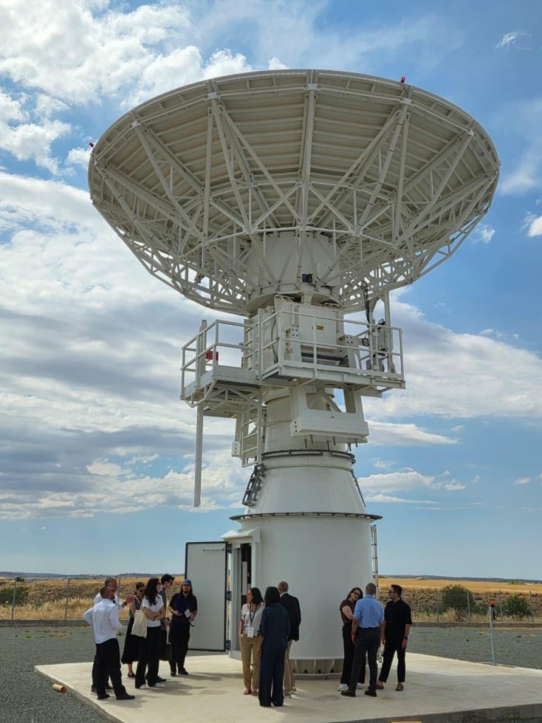
The assembly program concluded with technical visits to the satellite data acquisition station at the “Eratosthenes Centre of Excellence”, where participants were introduced to operational activities, infrastructures used for monitoring and processing satellite data, as well as visits to the GOVSATCOM satellite infrastructure in Kofinou, where a practical overview of European secure satellite communication services and their applications in the field of security and emergency management was provided.
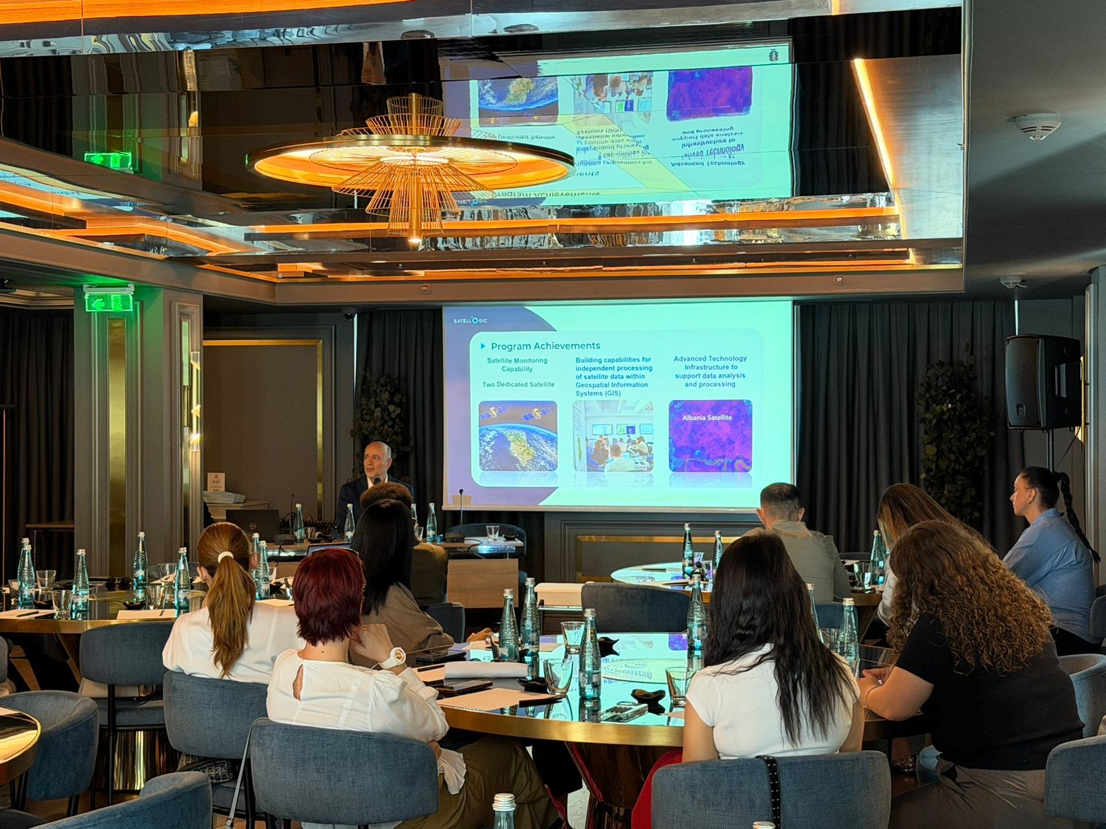
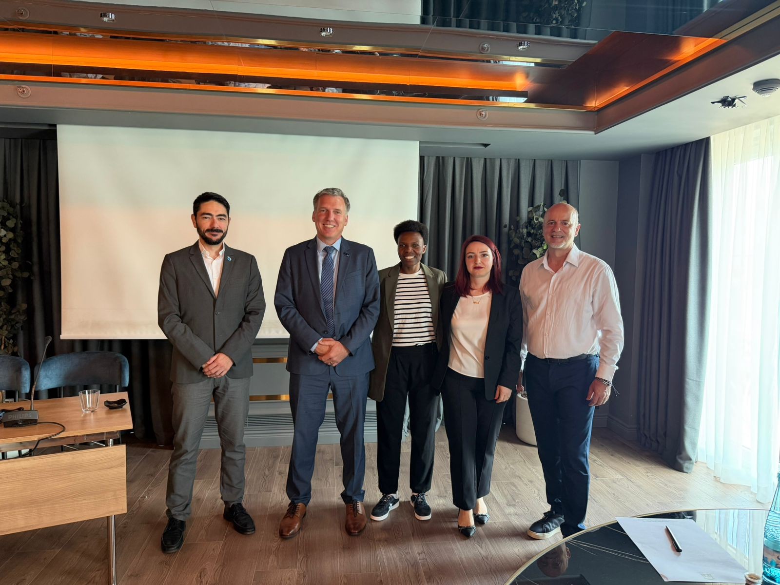
“Albania Satellite Service Workshop” is held
State Authority for Geospatial Information (ASIG) participated in the workshop on the topic “Albania Satellite Service Workshop” organized by the Satellogic company, on 26.05.2026, at the premises of Xheko Imperial, Tirana.
The purpose of this workshop was to present and discuss the progress of the satellite service in Albania, the achievements of the ASIG–Satellogic program during the period 2022–2026, as well as further opportunities for expanding the use of satellite data by public institutions.
In this workshop, ASIG presented the achievements of the satellite service in Albania, emphasizing the experience created for satellite monitoring, the use of two satellites dedicated to the Albanian territory, the increase in capacities for independent processing of satellite data in GIS systems, as well as the advanced technological infrastructure for data analysis and processing.
This activity served as a technical platform for the exchange of information between ASIG, Satellogic, AKMC and the technical staff of the beneficiary institutions, with a main focus on the current capacities of the satellite service, as well as on the products created by ASIG through this service.
Representatives of Satellogic also presented the company profile, technical capacities and main products of the satellite services that this company offers.
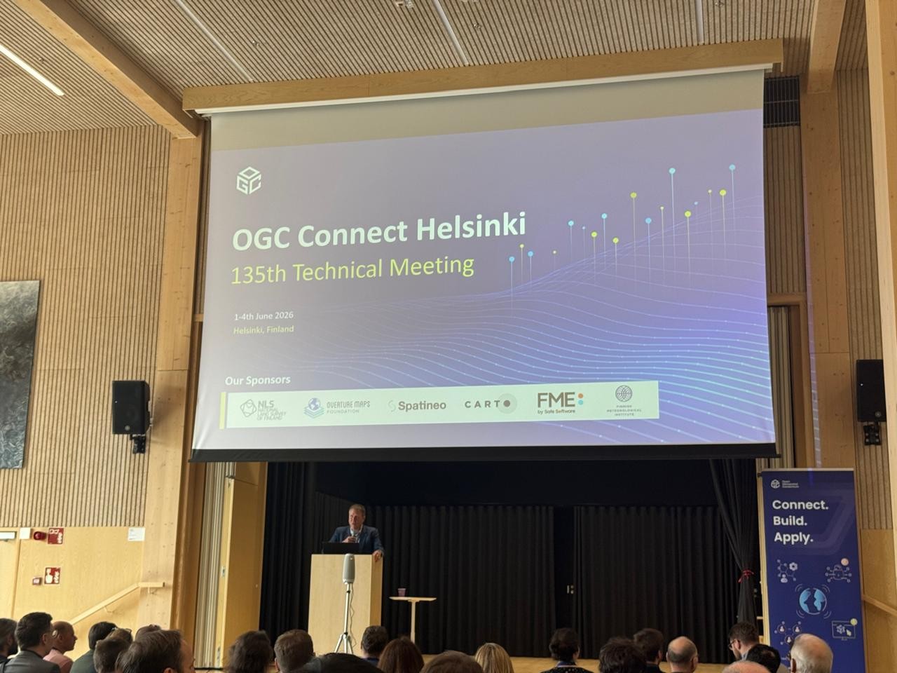
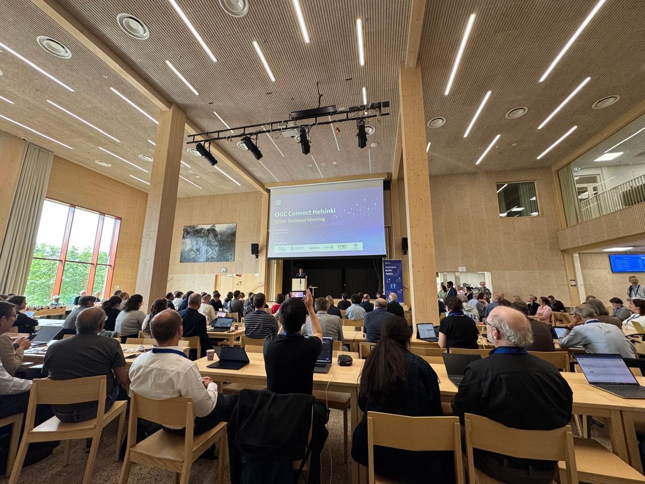
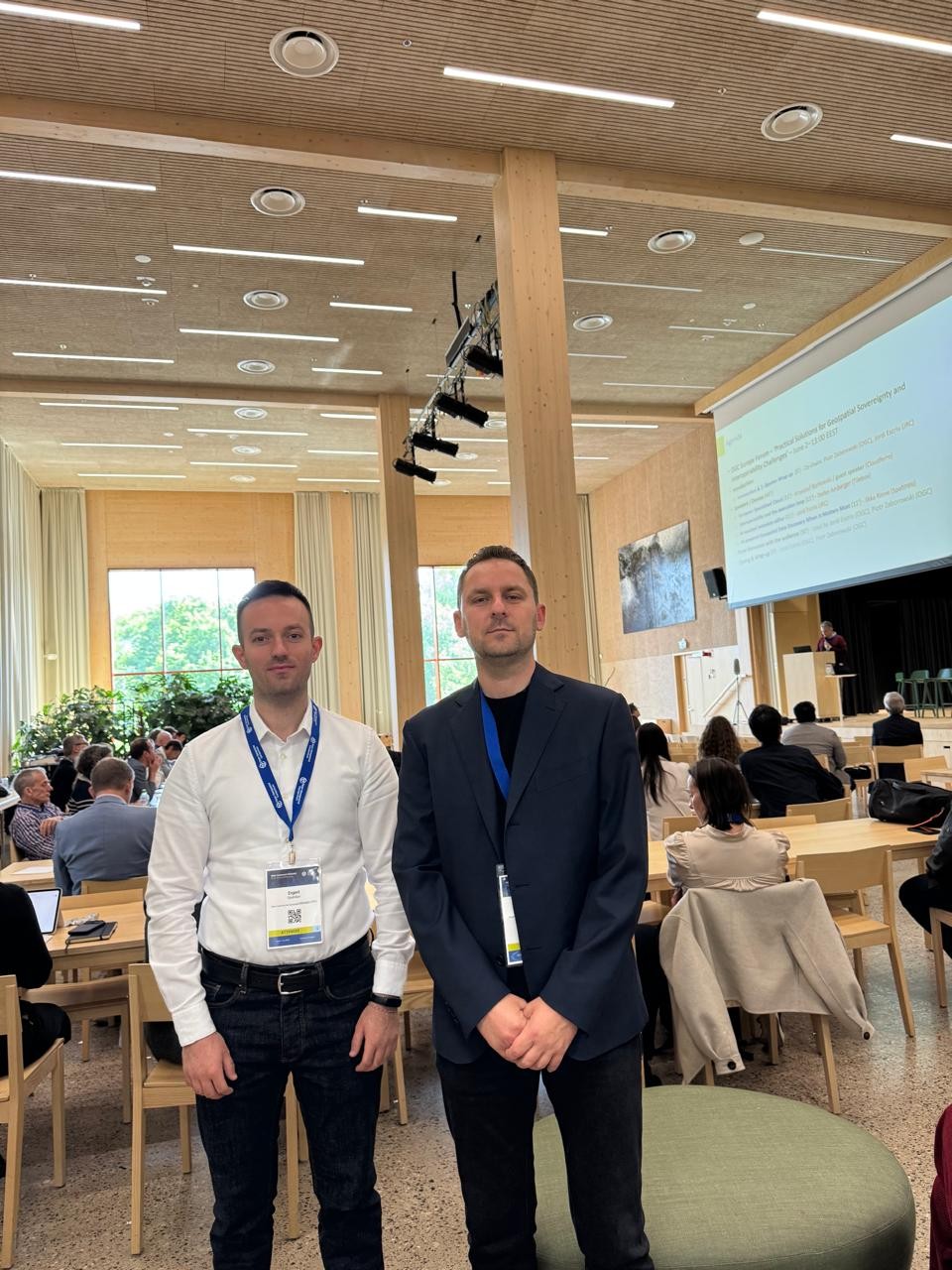
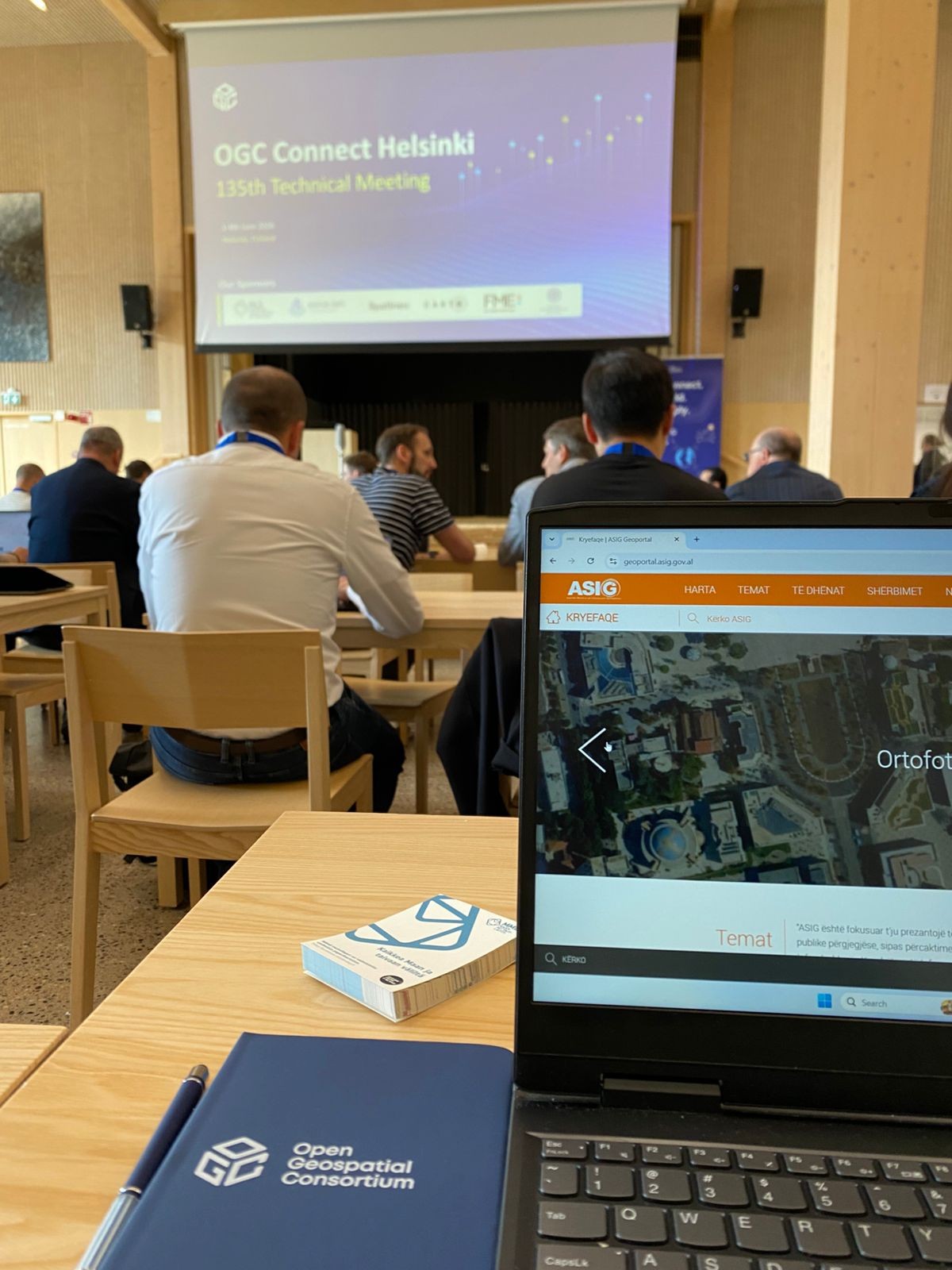
ASIG Participates in Open Geospatial Consortium (OGC), Helsinki 2026
Representatives of State Authority for Geospatial Information participated in the 135th technical meeting of the Open Geospatial Consortium, “OGC Connect Helsinki 2026”, held in Helsinki, Finland, from 1–4 June 2026.
The main theme of this edition was “Interoperable Systems, Real-World Impact”, with a focus on building open, reliable and interoperable systems.
This event brought together public institutions, companies, international organizations and experts from around the world to discuss the latest developments in the field of geospatial standards, data interoperability, Digital Twins, GeoAI and new technologies supporting digital transformation.
Participation in this activity represents an important opportunity for ASIG to follow the latest international developments and strengthen its commitment to harmonizing the national geospatial information infrastructure with OGC standards and best practices.

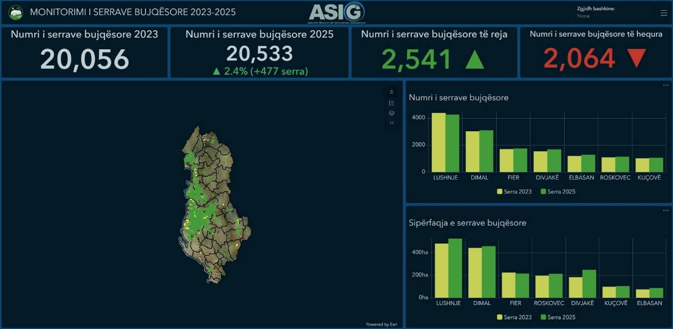
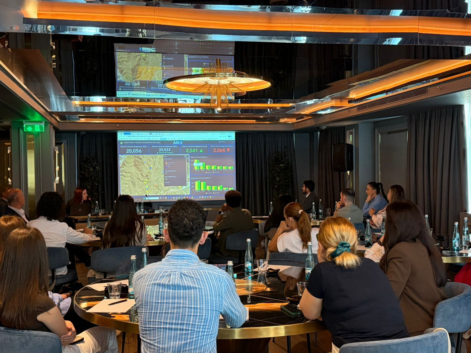
ASIG creates the digital application “Monitoring of agricultural greenhouses 2023 – 2025”, for the entire territory of the Republic of Albania
State Authority for Geospatial Information (ASIG) has created the digital application “Monitoring of agricultural greenhouses 2023 – 2025”, for the entire territory of the Republic of Albania.
This application is intended only for use by institutions, guaranteeing controlled access and use in the exercise of their functions.
The “Monitoring of agricultural greenhouses 2023–2025” dashboard provides a detailed analysis of the development of agricultural greenhouses in Albania. This product is the result of the processing and analysis of high-resolution satellite images and the application of artificial intelligence models for the automatic detection of agricultural greenhouses, with an accuracy of 70%.
It provides a detailed overview of the number and area of greenhouses for each municipality, changes over the years and trends in the development of agricultural activity.
Through dynamic filtering, interactive maps and graphic visualizations, the platform serves as a support tool for public institutions in the planning and analysis of agricultural policies, as well as in data-based decision-making processes.
In the video below, you will find an illustrative tutorial on using this application.
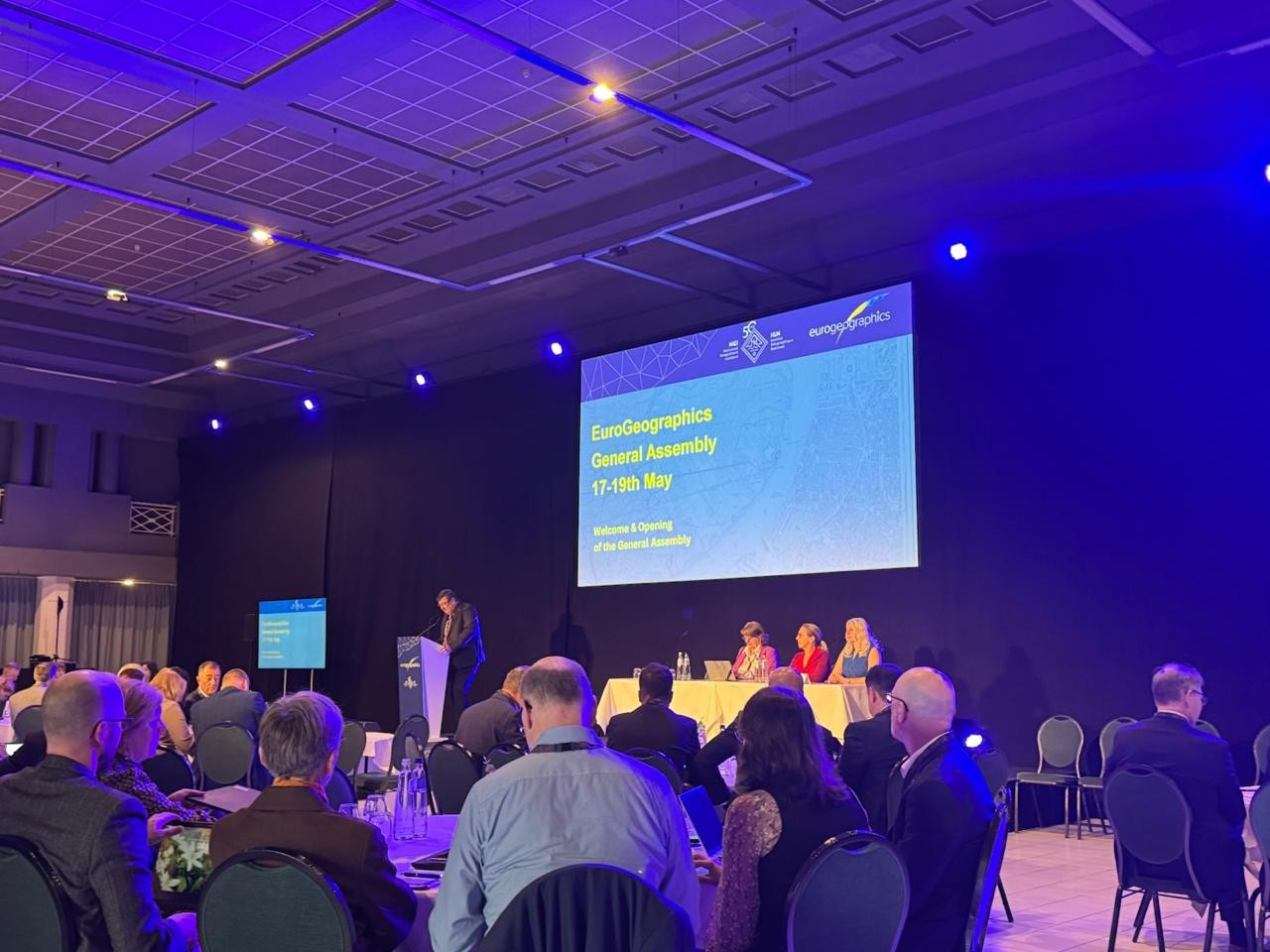
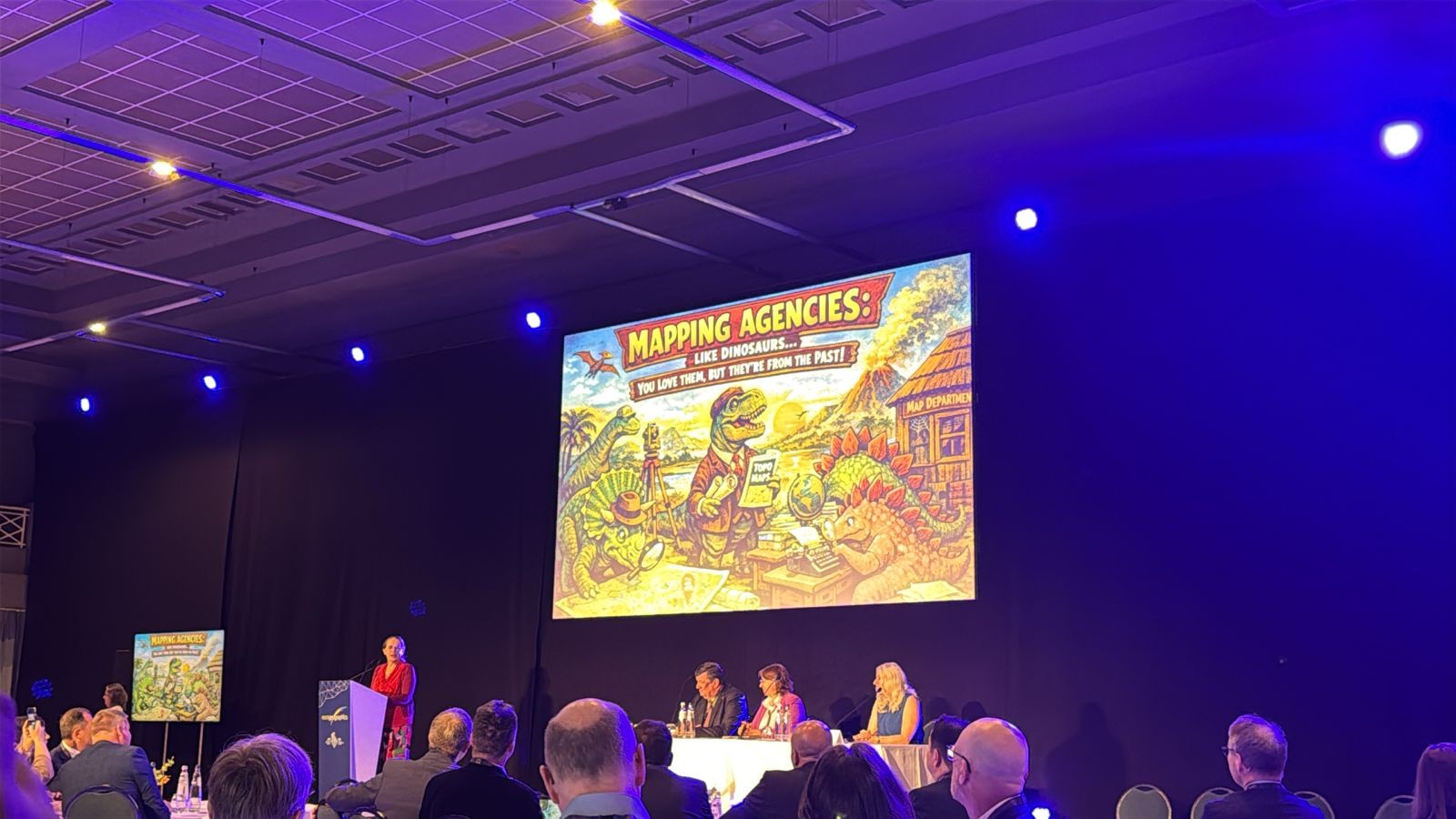
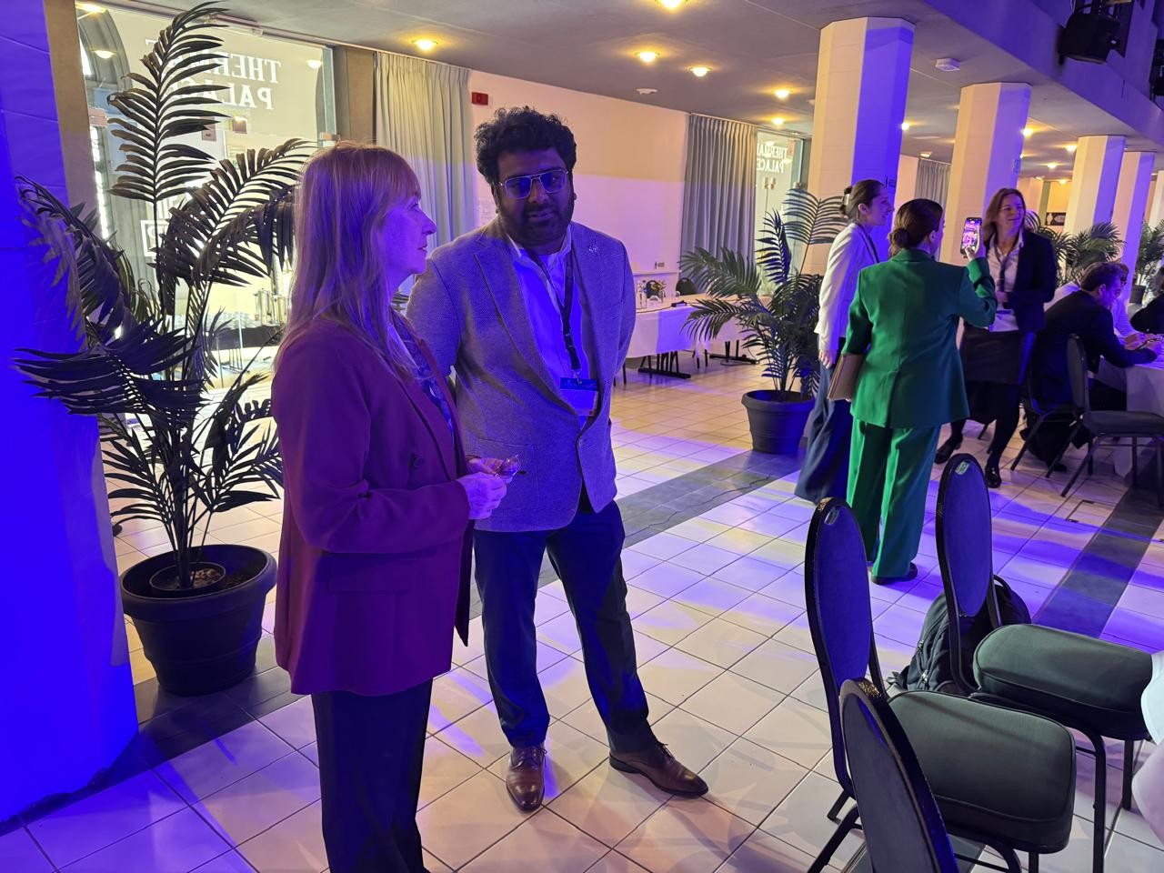
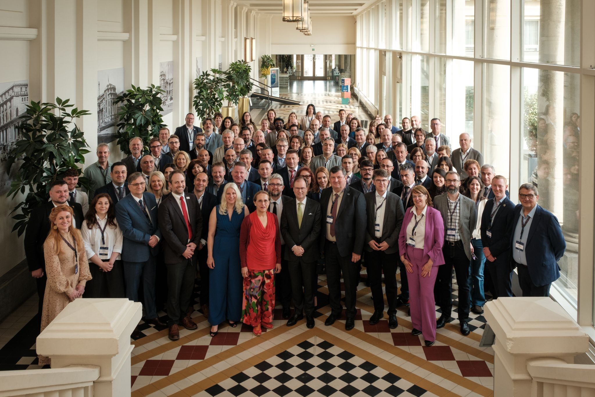
ASIG Attends EuroGeographics General Assembly
Heads of the National Authorities for Geospatial Information attended the EuroGeographics General Assembly which will be held in Ostend, Belgium, from 17–20 May 2026.
The meeting brought together over 13 senior representatives from 2 European countries, from 4 national authorities in the design, cadastre and land registration, to discuss the strategic role of authoritative geospatial data, which are essential for decision-making systems that ensure European preparedness, resilience and response to crises.
The main services in these activities were the exchange of experiences and best practices, with the aim of bringing to the State Authority for Geospatial Information (ASIG)
In the bilateral meetings established by the Director General of ASIG with leaders of European organizations and agencies, and issues related to the current challenges of our country, as well as the future of ASIG’s activity in terms of the implementation of the INSPIRE Directives and the structures of the National Geospatial Information Infrastructure (NSDI) in Albania.
In the framework of a meeting, involved in the opposite goose to develop the discussion and make cooperation with sister European organizations, as well as to create links with key players in the field of geospatial information.
The General Assembly also served as an important platform for following the presentations by renowned speakers and discoveries, addressed a wide range of topics related to geospatial information.
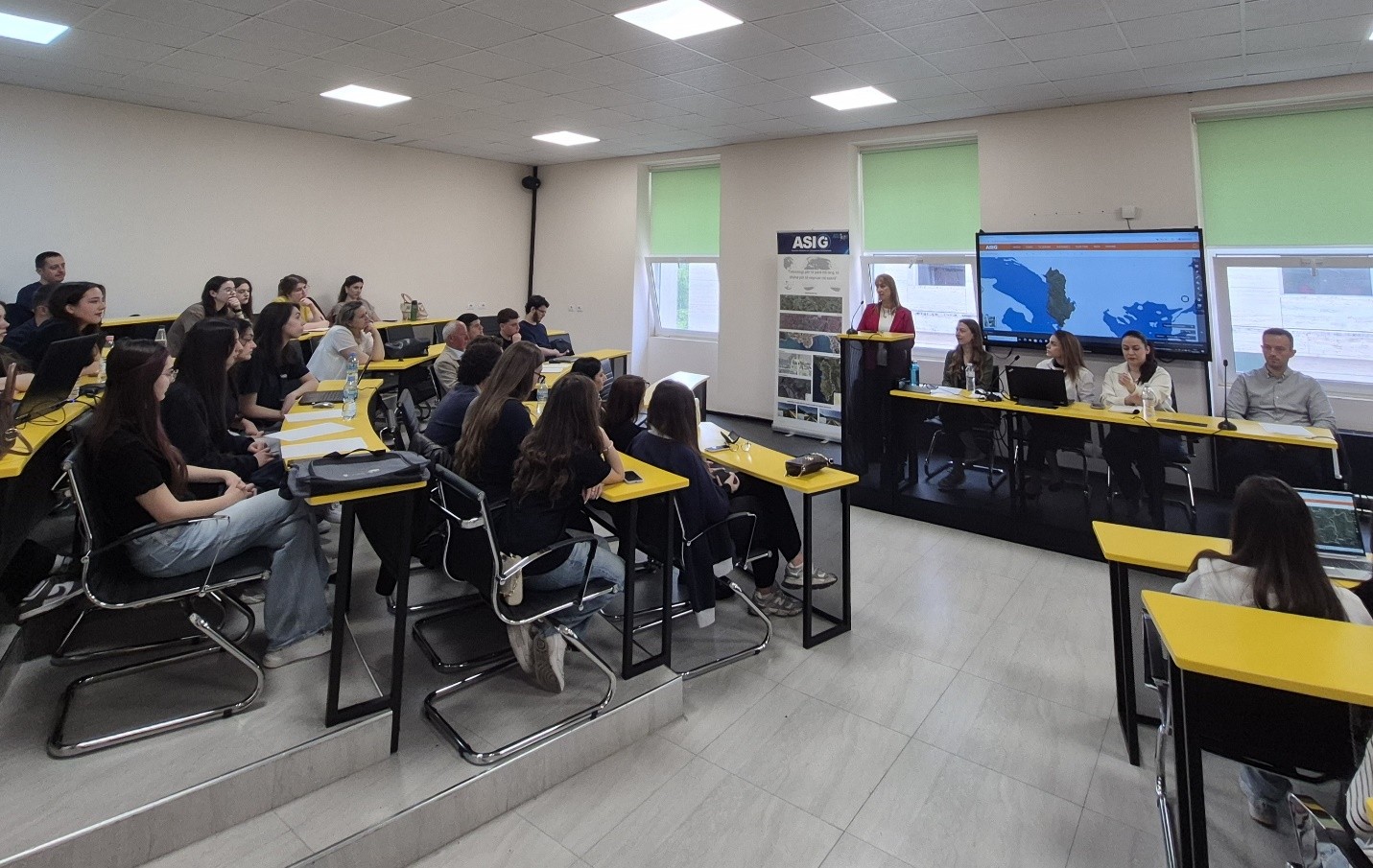
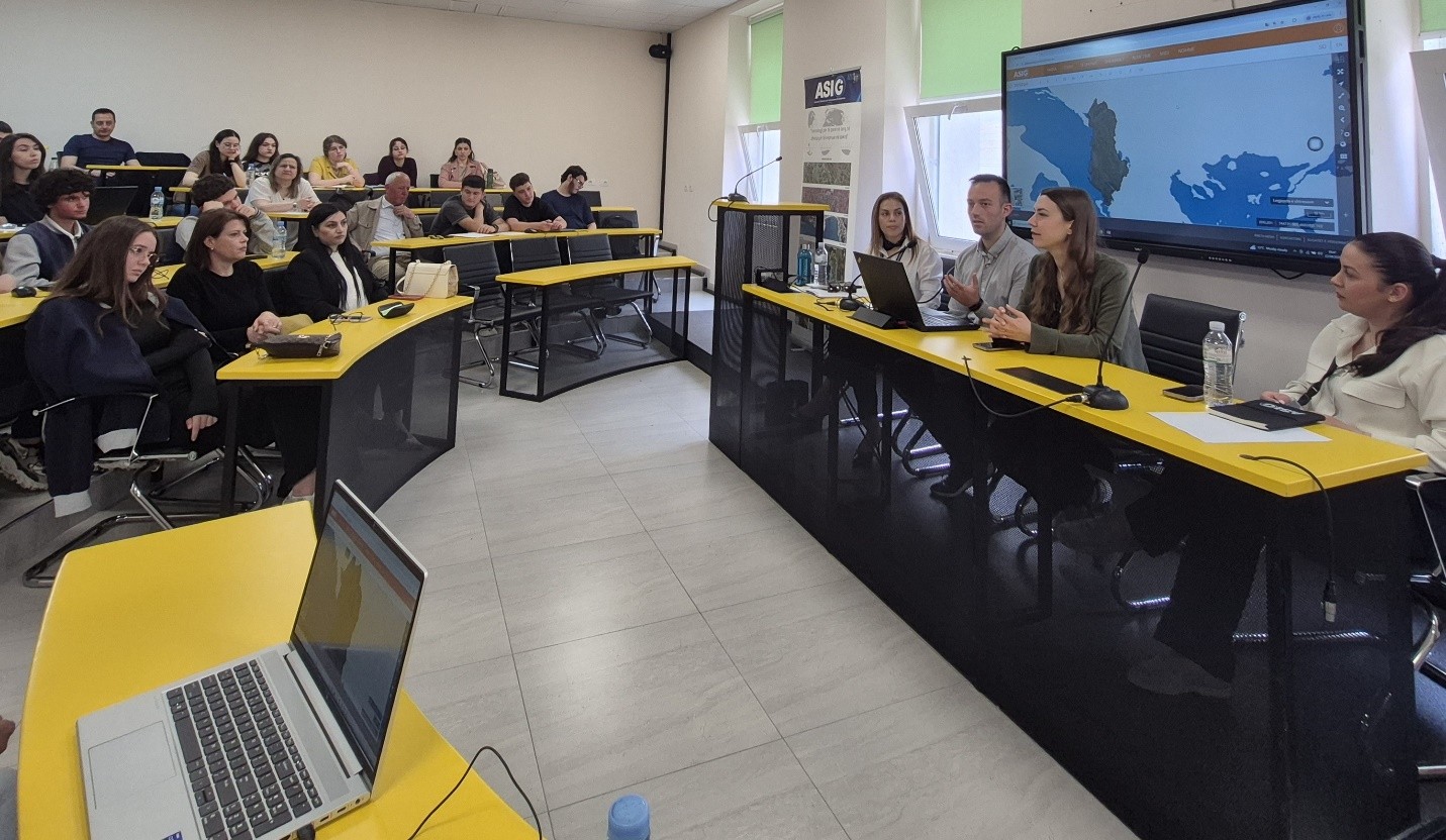
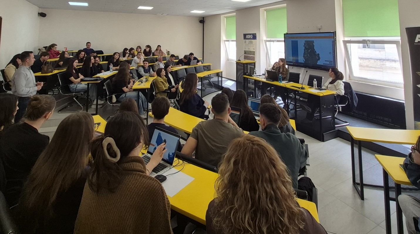
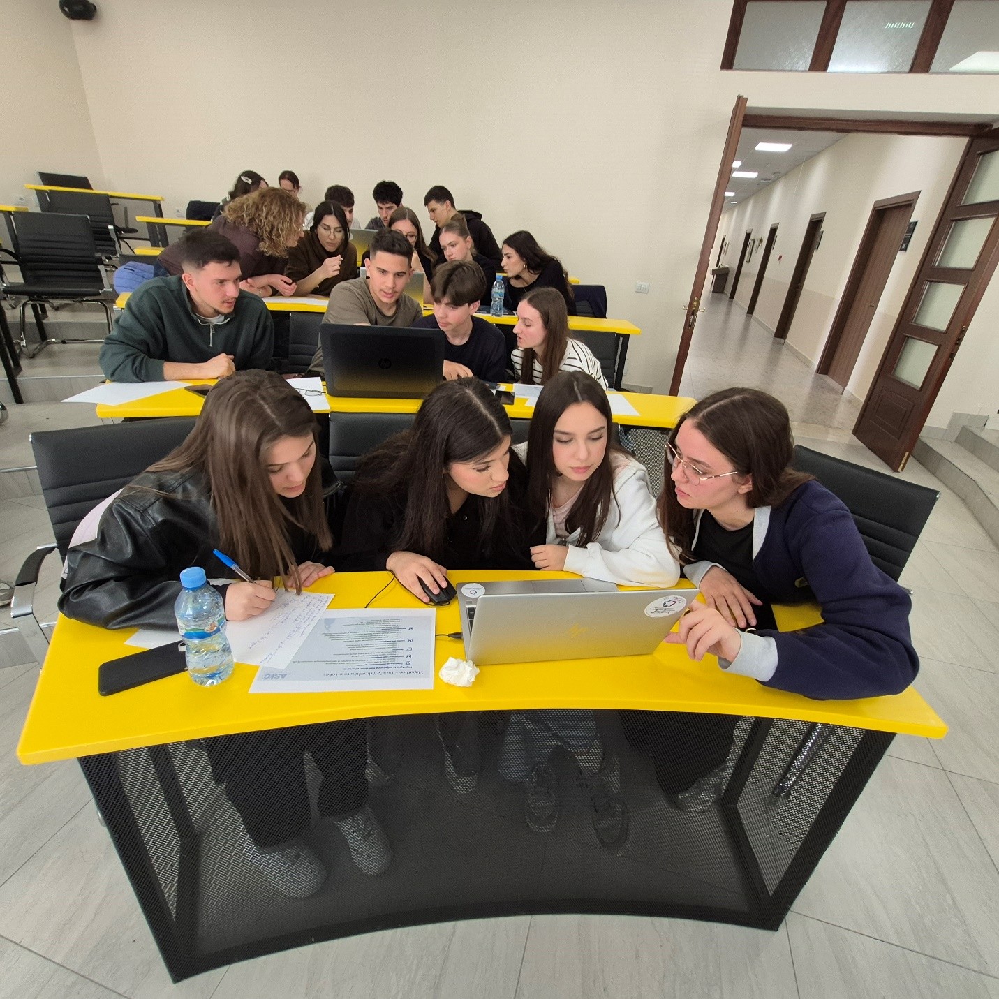
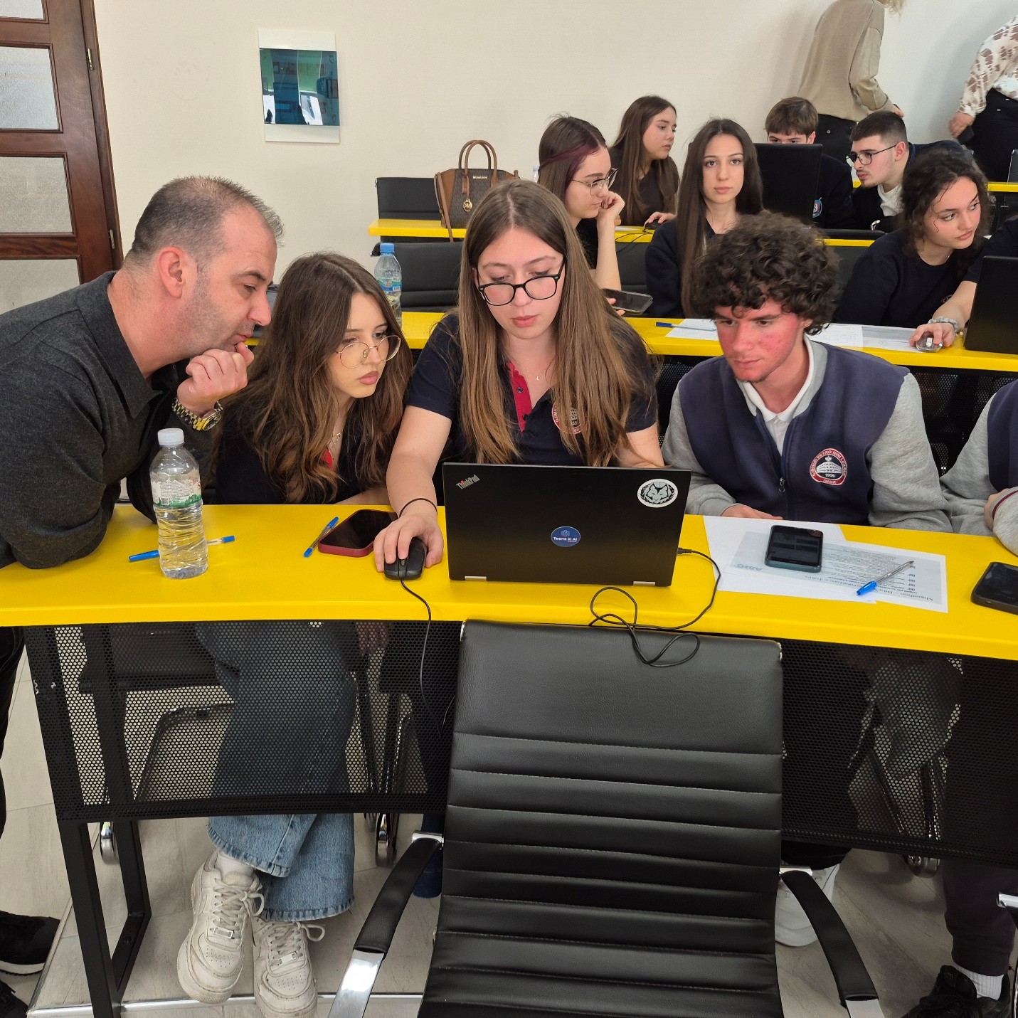
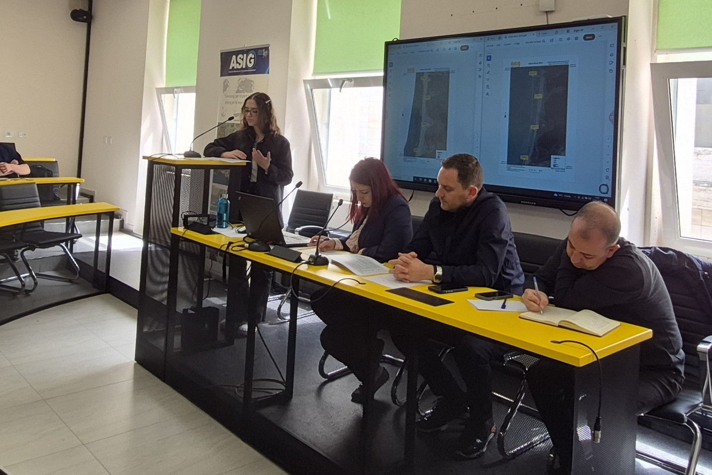
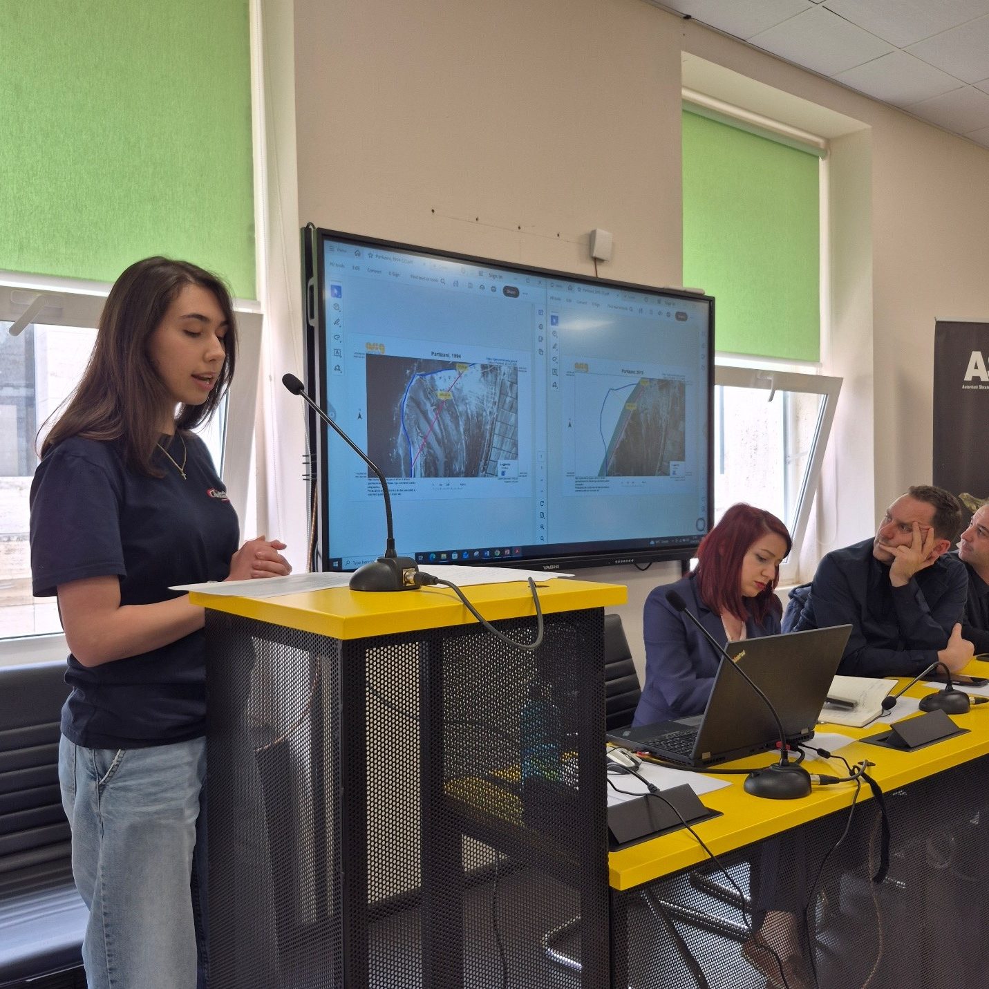
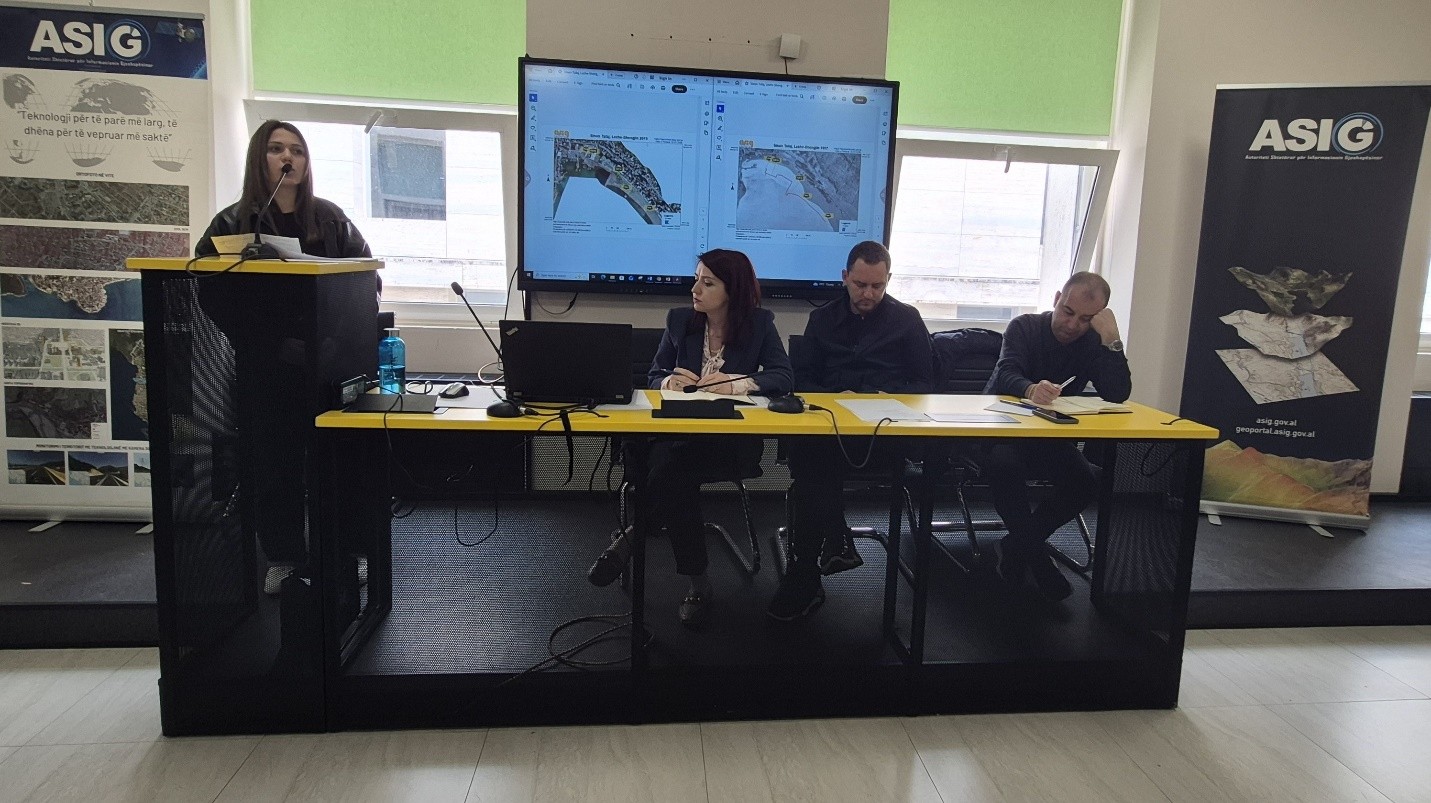
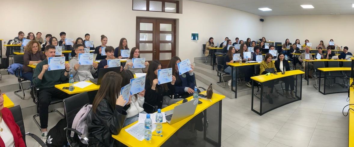
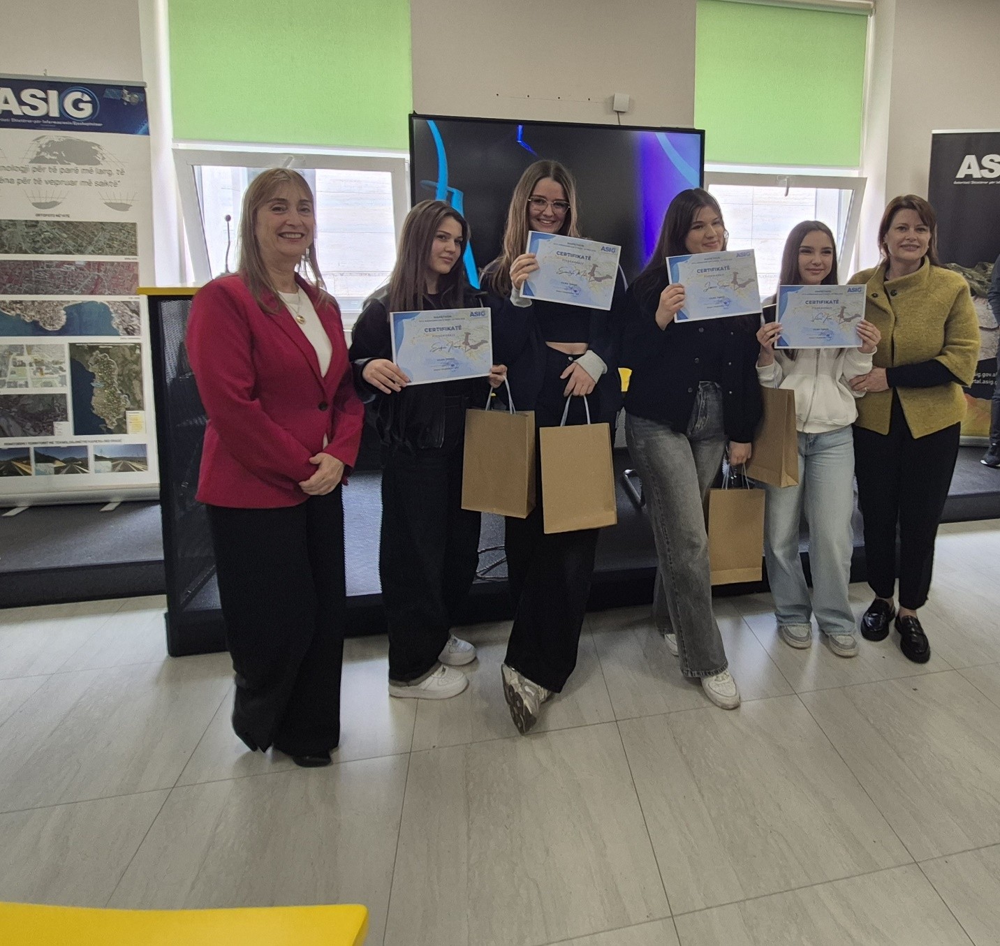
ASIG organized the activity “Mapathon in the framework of Earth Day 2026”
In the framework of International Earth Day, the State Authority for Geospatial Information (ASIG) organized on April 22, 2026 the activity “Mapathon in the framework of Earth Day 2026”, with the participation of high school students in the city of Tirana.
The activity took place at the premises of the Polytechnic University of Tirana and aimed to familiarize students with the use of maps, geospatial data and the National Geoportal, in order to protect the environment and raise awareness in the framework of Earth Day. Nine educational institutions participated in this activity.
During the activity, the participants worked in teams to create several thematic maps, applying practical knowledge on map elements, the use of geospatial data and the interpretation of the processed information. Finally, the prepared works were presented to the jury, which evaluated them based on the criteria set for the activity. At the end of the evaluation, “Sinan Tafaj” High School was ranked first, with the best work presented in this competition.
This activity served as a concrete opportunity to stimulate young people’s interest in geospatial technologies and to promote their use in understanding the territory, environmental protection and sustainable development. ASIG thanks all participating students, accompanying teachers, participating educational institutions, the Polytechnic University of Tirana, as well as the staff involved for their contribution to the successful implementation of this activity.