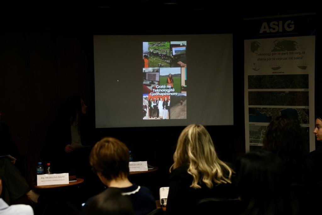
ASIG organized the event “Women in Geospatial Technologies – Success Stories”
On 2 April 2026, at Europe House, Tirana, the State Authority for Geospatial Information (ASIG) organized the event “Women in Geospatial Technologies – Success Stories”, as part of its initiatives to promote the role and contribution of women in the field of geospatial technologies.
The event brought together representatives from public institutions, academia, and the private sector, who shared their professional experiences, the challenges they have encountered throughout their journeys, and their perspectives on the development of this field in Albania. Through this discussion, the event highlighted not only individual and institutional achievements, but also the importance of women’s participation in sectors closely linked to technology, innovation, and the use of geospatial data.
For ASIG, this activity represented an important opportunity to showcase the contribution of women to the development of geoinformation, while also encouraging girls and women to consider this field as a valuable path for academic and professional growth. Through success stories, practical experiences, and inspiring messages shared during the event, a more encouraging and inclusive approach to women’s participation in geospatial technologies was promoted.
ASIG remains committed to supporting initiatives that foster capacity development, professional empowerment, and the creation of new opportunities for women’s inclusion in fields of strategic importance to the country’s development.


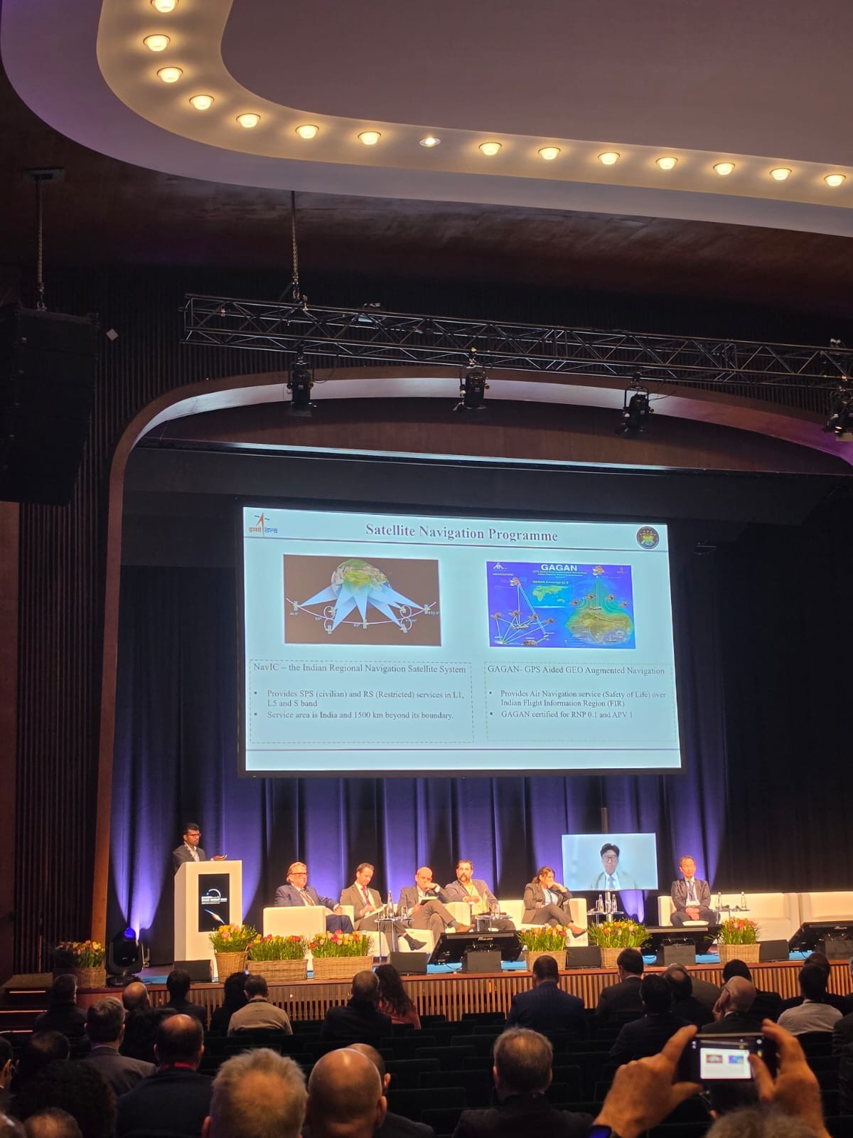
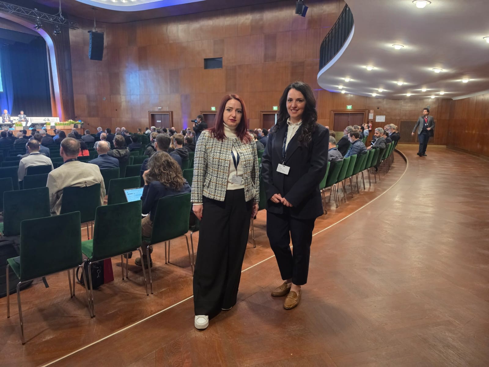
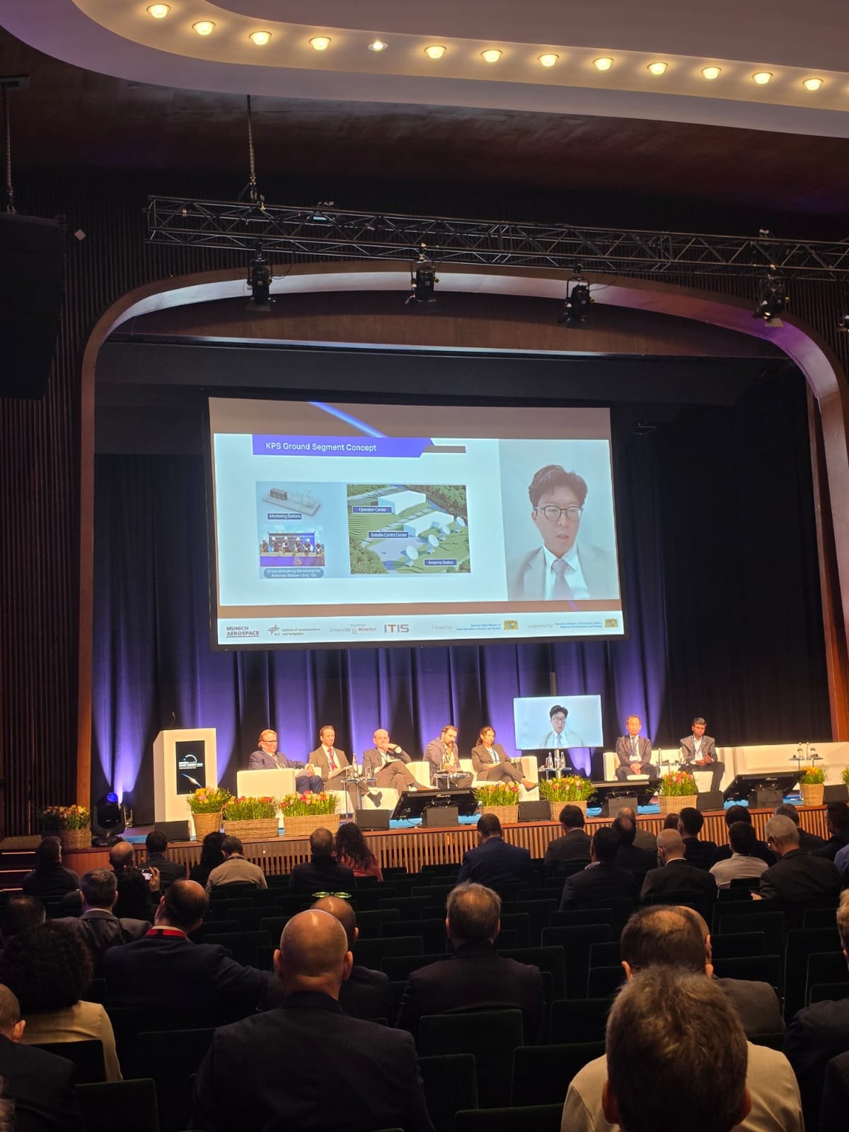
ASIG Participates in Munich Space Summit
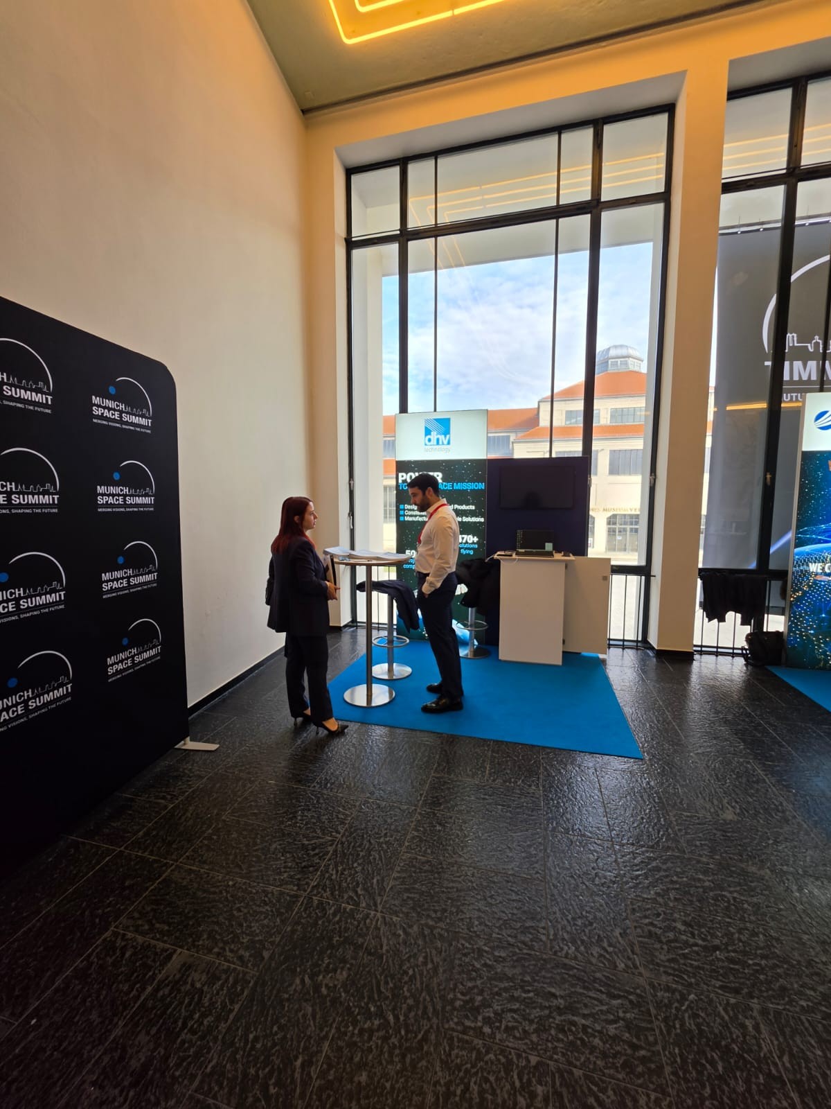
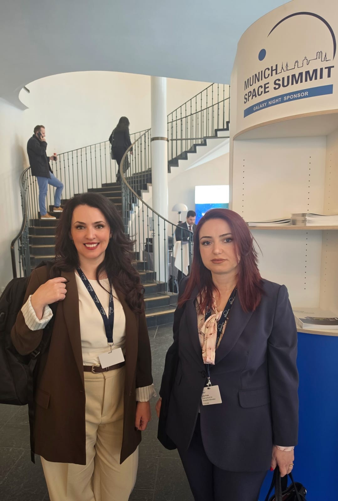
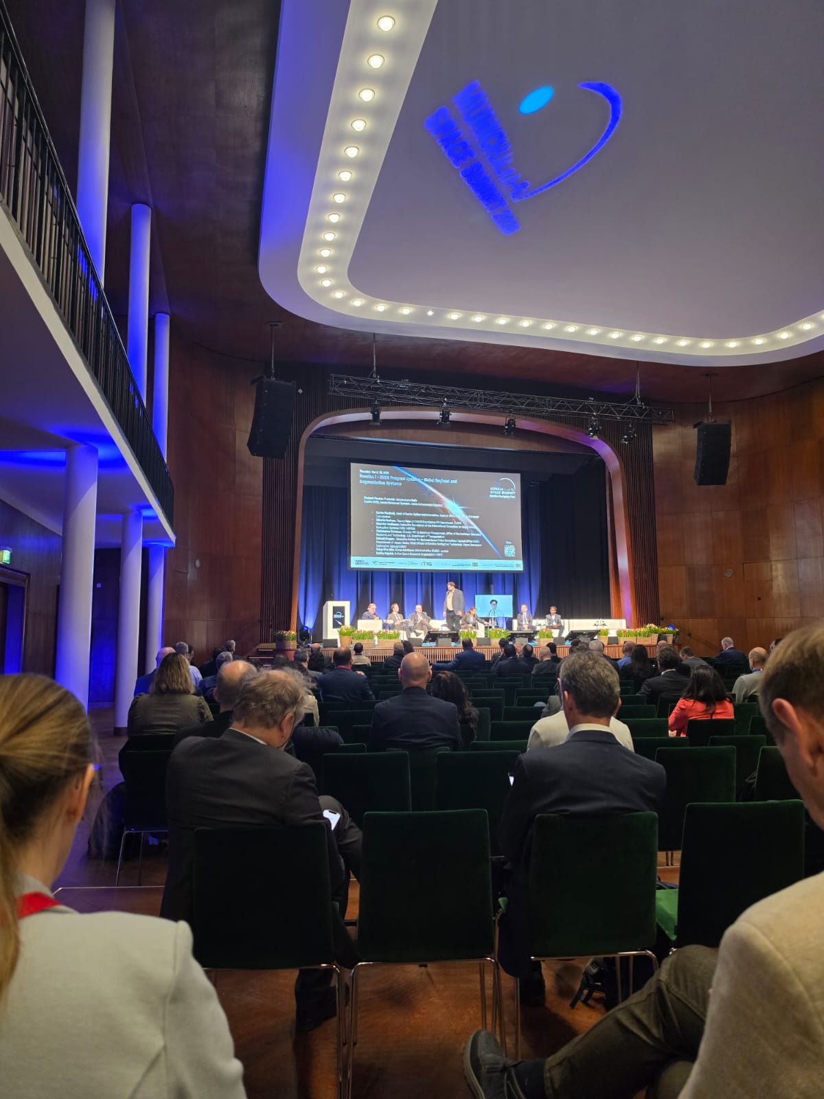
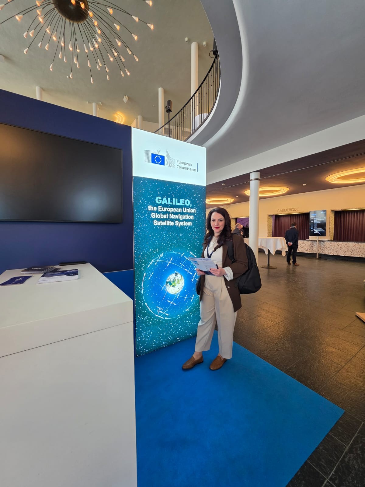
Representatives of the State Authority for Geospatial Information (ASIG) participated in the Munich Space Summit, which is taking place in Munich, Germany, on March 23-27, an international platform that brings together key players in the geospatial industry to address the latest developments and challenges in this sector.
The summit addressed issues of strategic importance, including space policies, the geopolitical dimension, technological innovation and inter-institutional cooperation. Special attention was paid to the application of artificial intelligence in orbit (Edge AI in orbit), which enables advanced data processing in real time, directly on the satellite.
The discussions also highlighted the key role of satellite data in supporting informed decision-making, as well as the importance of ensuring data security in a rapidly evolving ecosystem.
Developments in the “New Space” sector were also in focus, including advances in CubeSat technologies and modern satellite platforms.
Participation in this event represents an important opportunity for information, knowledge exchange and the creation of collaborations in an industry of growing strategic importance.
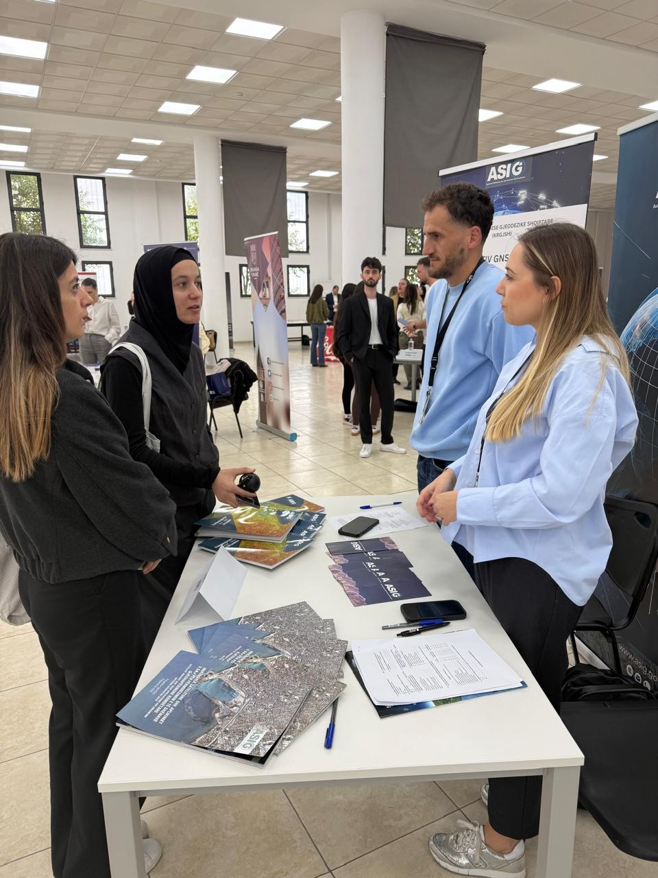
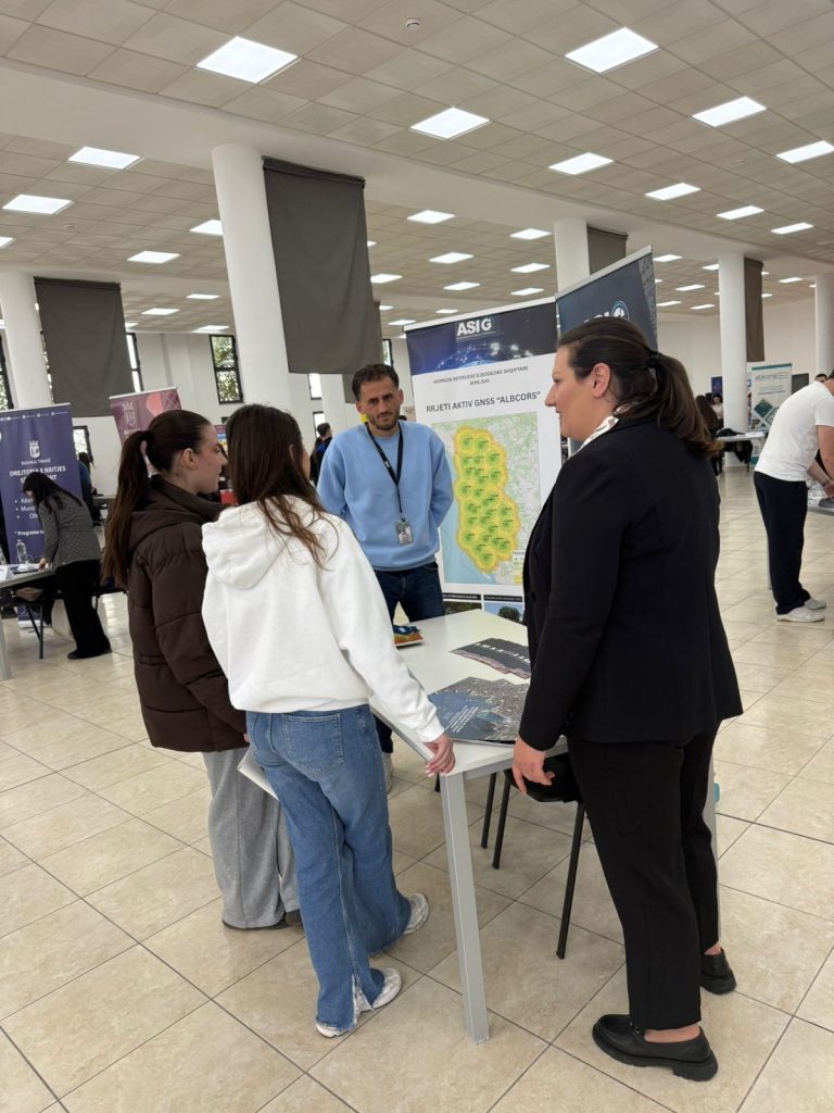
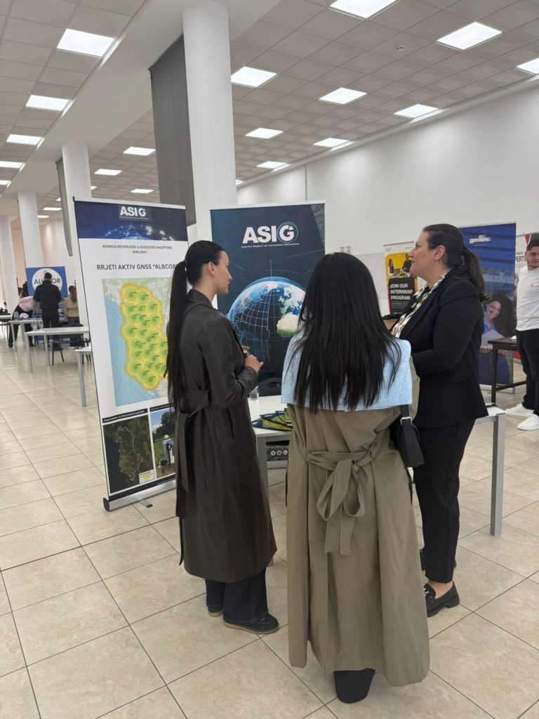
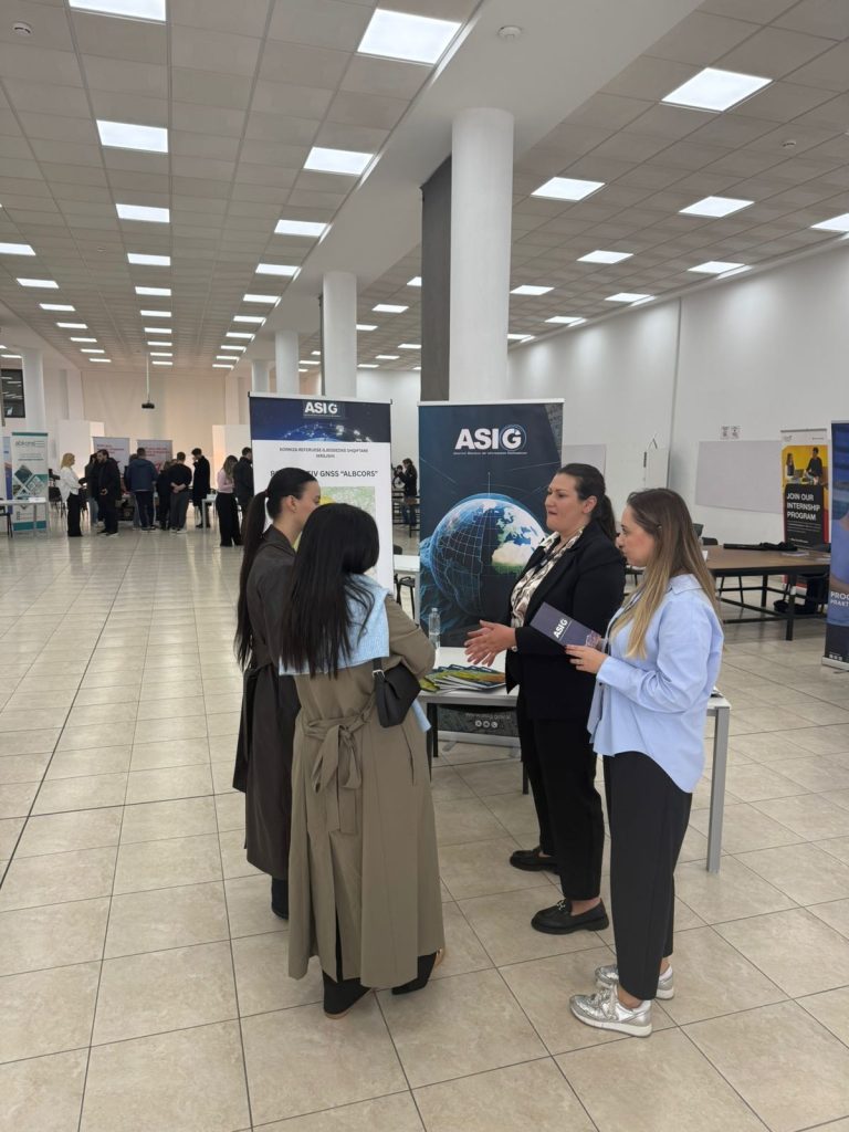
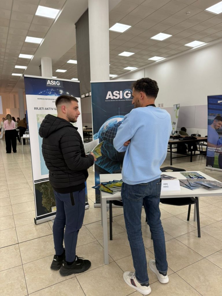
ASIG participates in the 2026 Career Fair at POLIS University
State Authority for Geospatial Information (ASIG) participates in the 2026 Career Fair, which is taking place today, March 26, 2026, at POLIS University. Participation in this activity is carried out within the framework of promoting ASIG’s activity and strengthening cooperation with higher education institutions, with the aim of informing students about the role of geospatial information and professional development opportunities in this field.
During the fair, ASIG representatives present the institution’s activity, its commitment to the administration and development of geospatial information in Albania, as well as the opportunities for involving students in professional practices and capacity-building processes. ASIG’s participation in such activities contributes to bringing young people closer to the geospatial sector and to fostering interest in geospatial technologies and services.
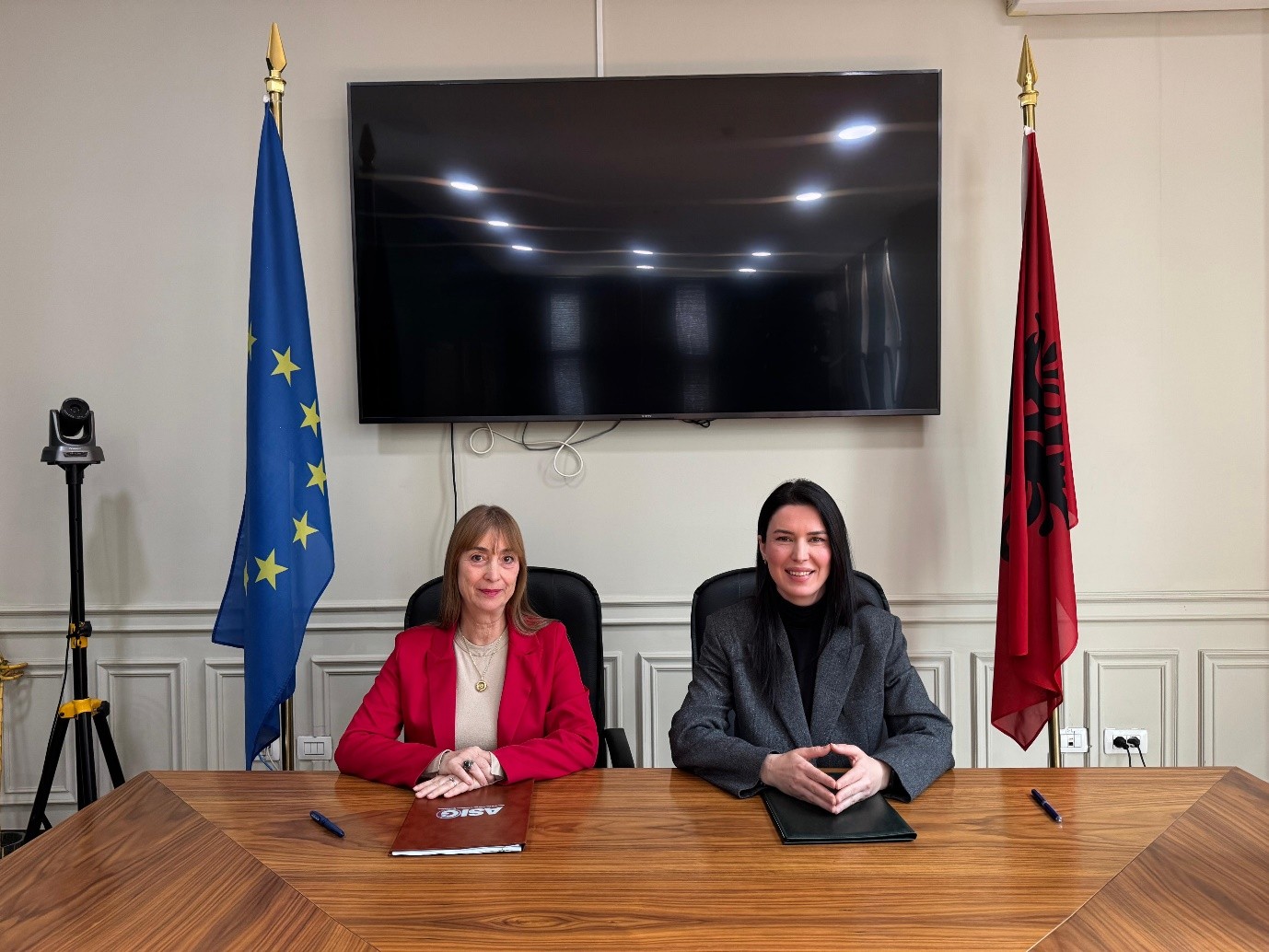
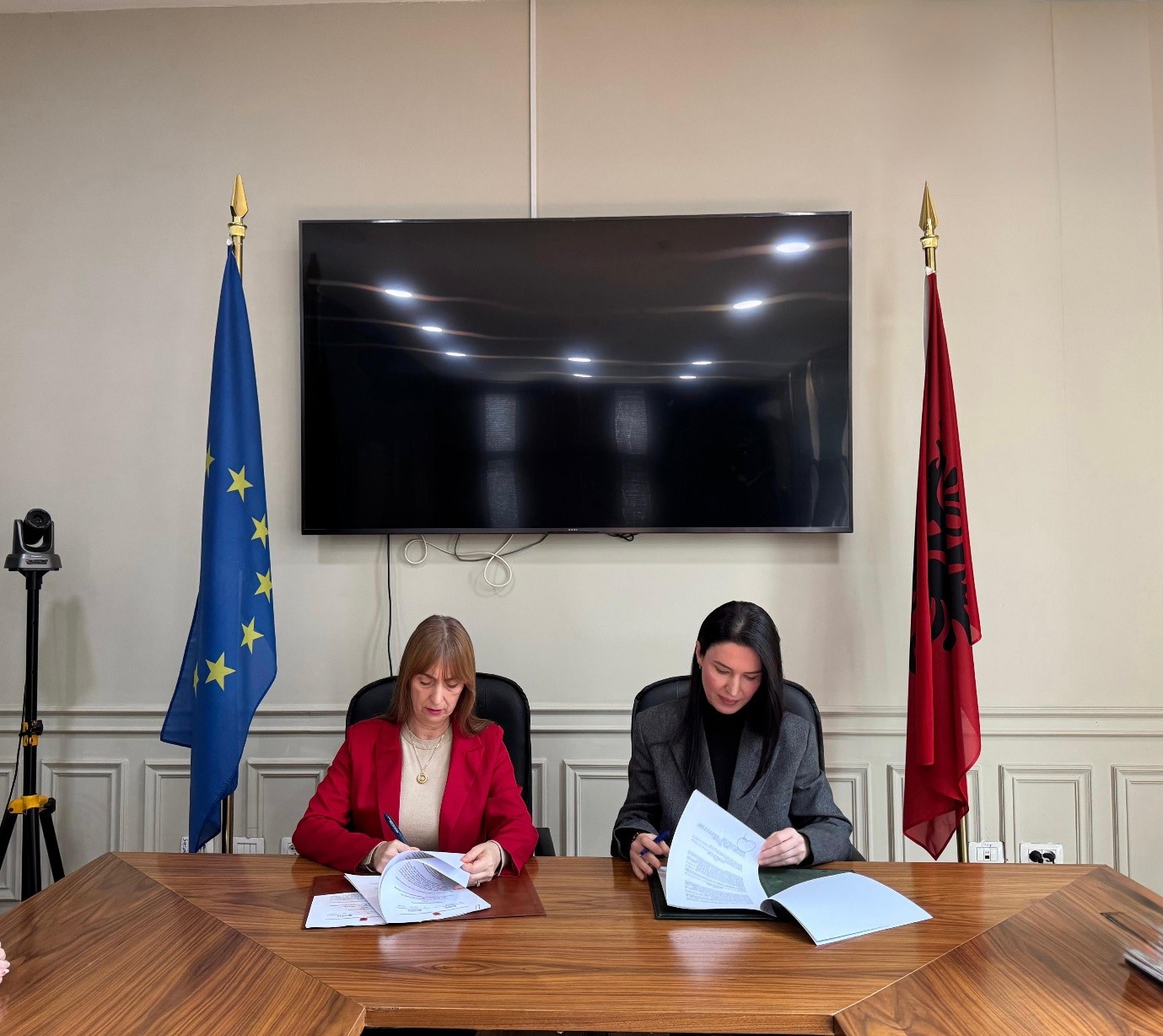
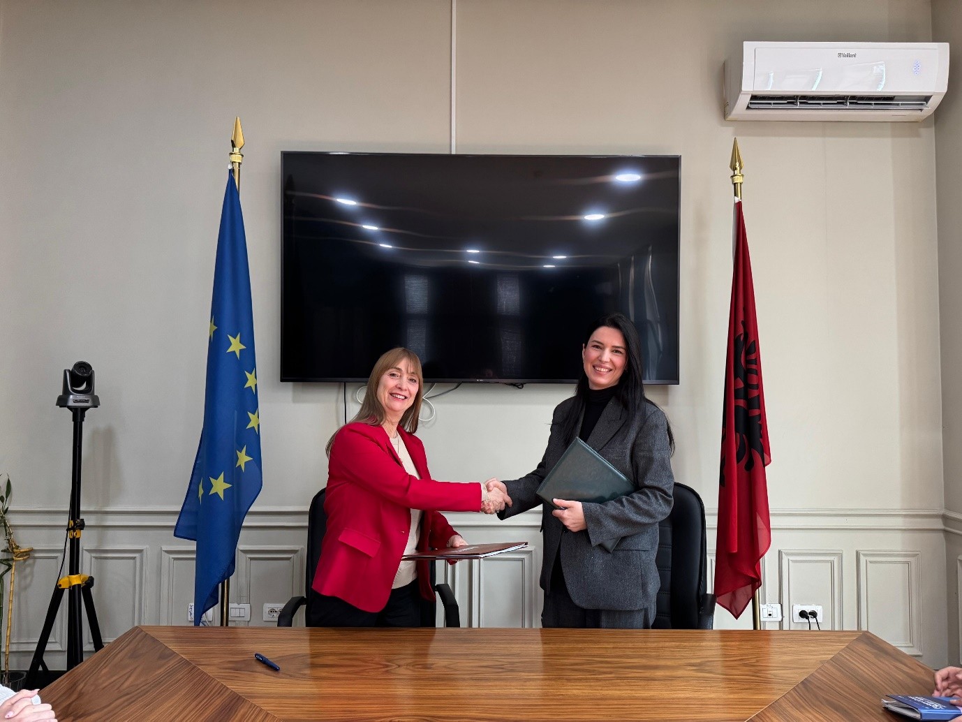
Cooperation agreement signed between ASIG and AZHBR
State Authority for Geospatial Information (ASIG) and the Agency for Agricultural and Rural Development (AZHBR) signed a cooperation agreement with the aim of strengthening institutional coordination for the effective use and exchange of geospatial information, in order to create and develop the Land Parcel Identification System (LPIS).
This integrated system will serve for the identification and management of agricultural areas through orthophotos, satellite images and other geospatial data, in accordance with the requirements of the European Union’s common agricultural policy.
The implementation of this agreement represents an important step towards strengthening the national geospatial information infrastructure and meeting European standards in the agricultural sector, contributing to the digitalization and modernization of the administration of schemes in agriculture.

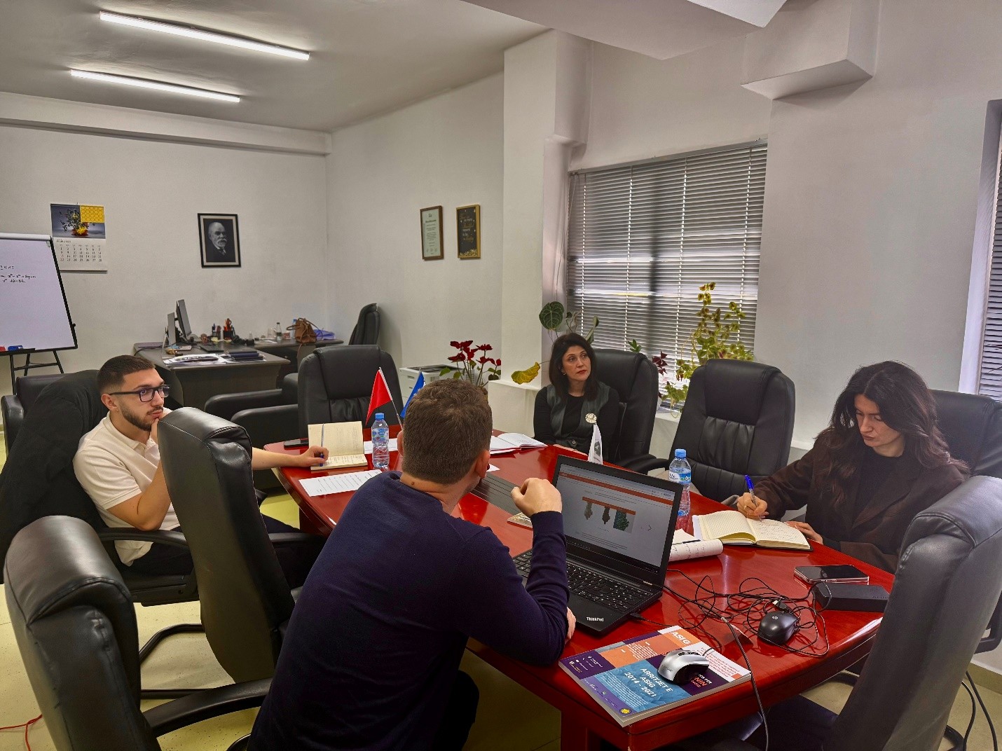
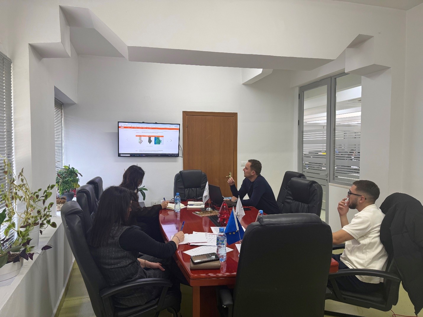
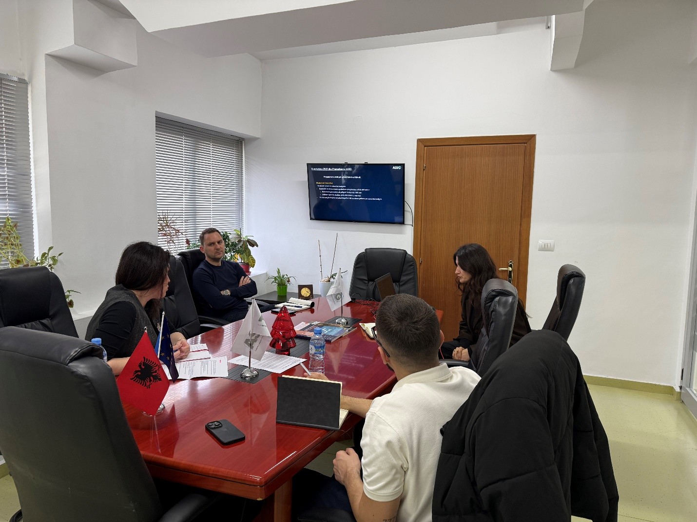
Training with the technical staff of the General Directorate of Civil Status
State Authority for Geospatial Information (ASIG), within the framework of inter-institutional cooperation and the initiative to increase capacities in the management and use of geospatial information, today held a dedicated training for the technical staff of the National Address Registry Administration sector, at the General Directorate of Civil Status.
During this training, ASIG provided technical assistance for the standardization and accuracy of GIS data for the address system, according to national standards, and addressed aspects of the practical use of the National Geoportal for accessing, managing and visualizing geospatial data.
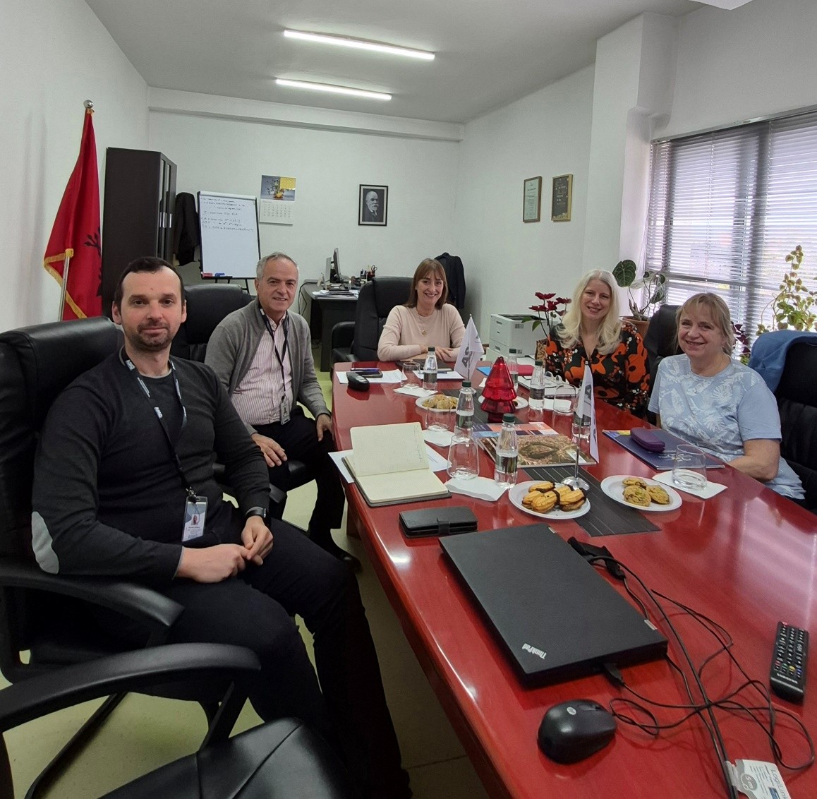
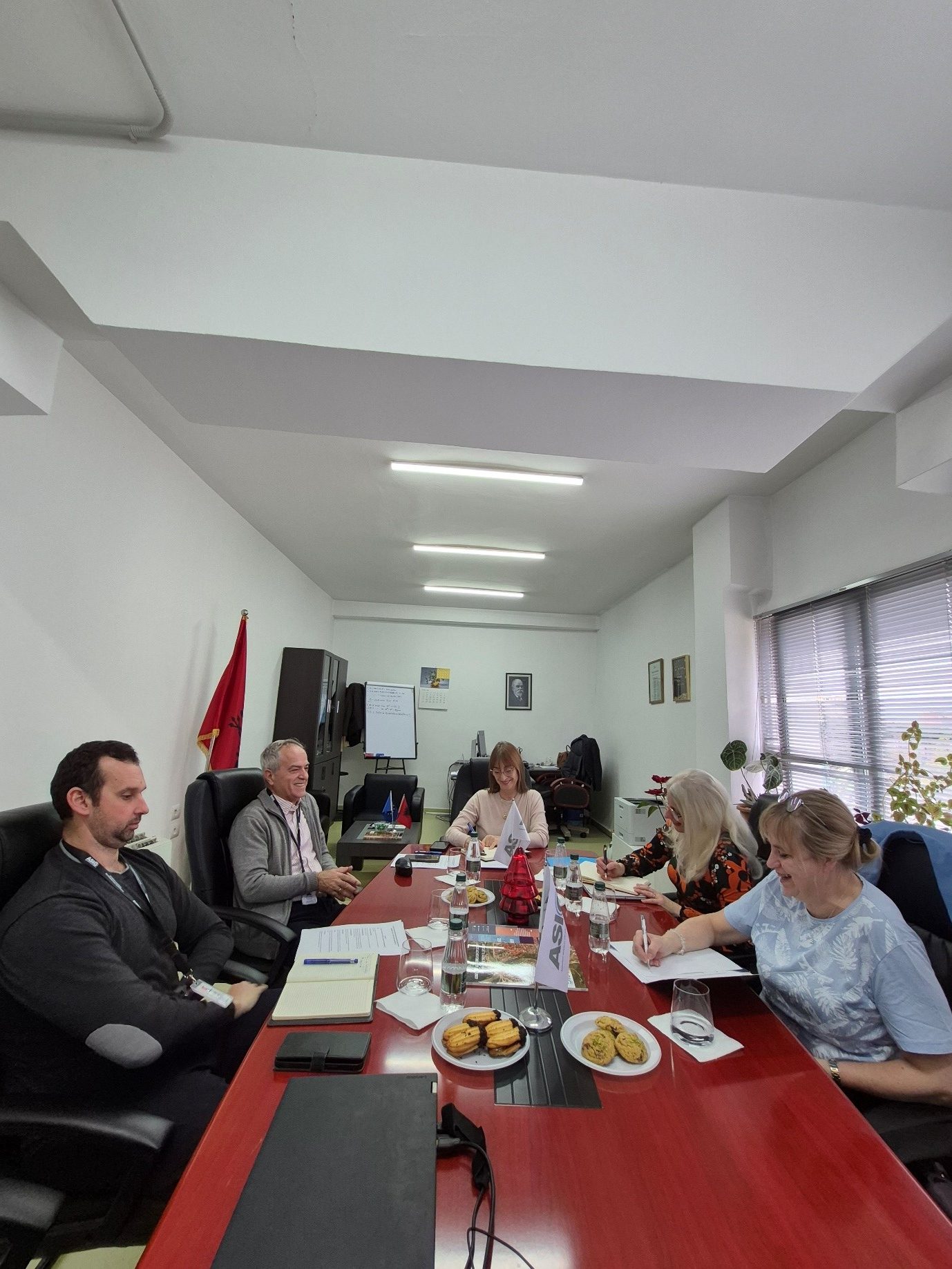
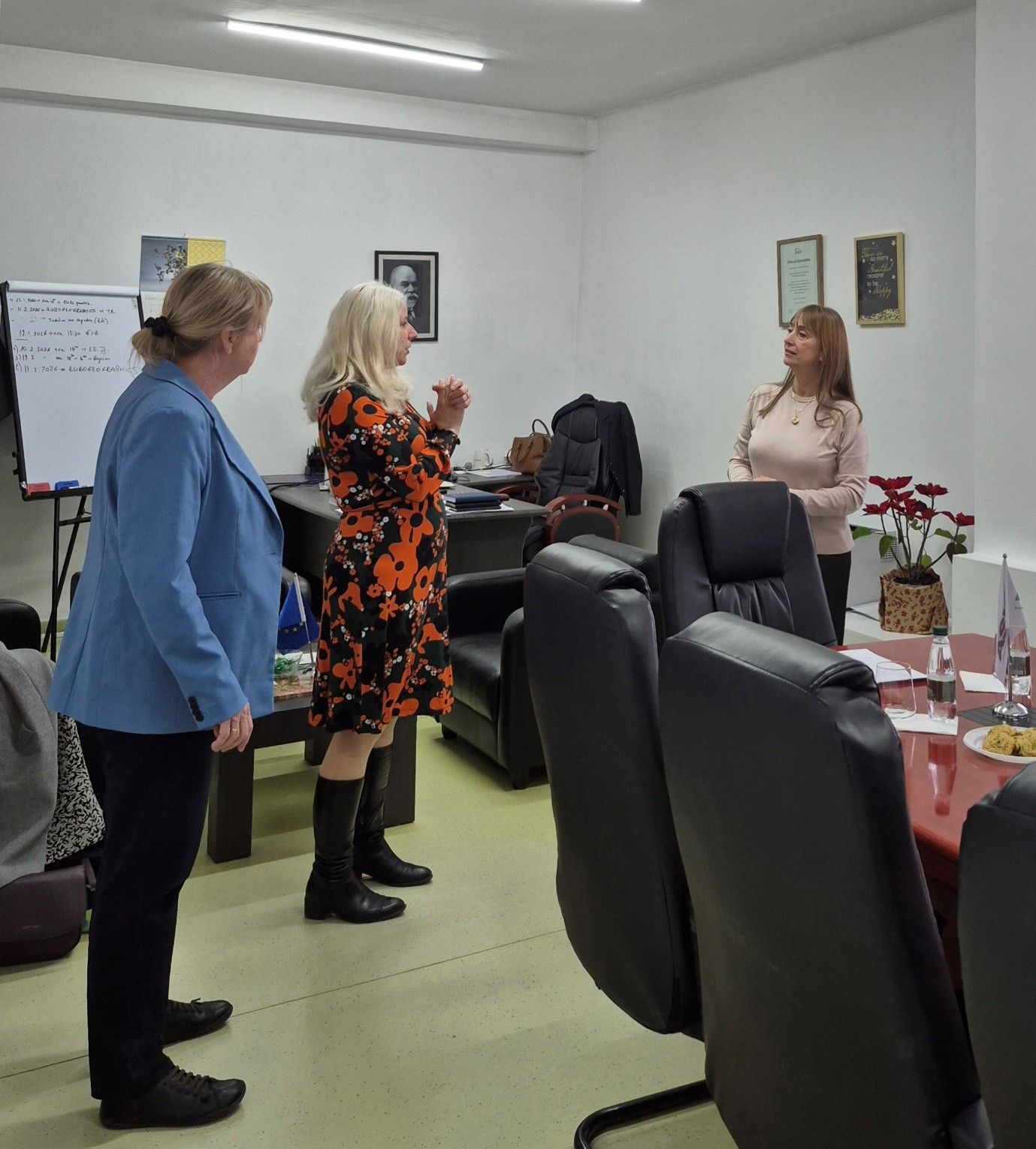
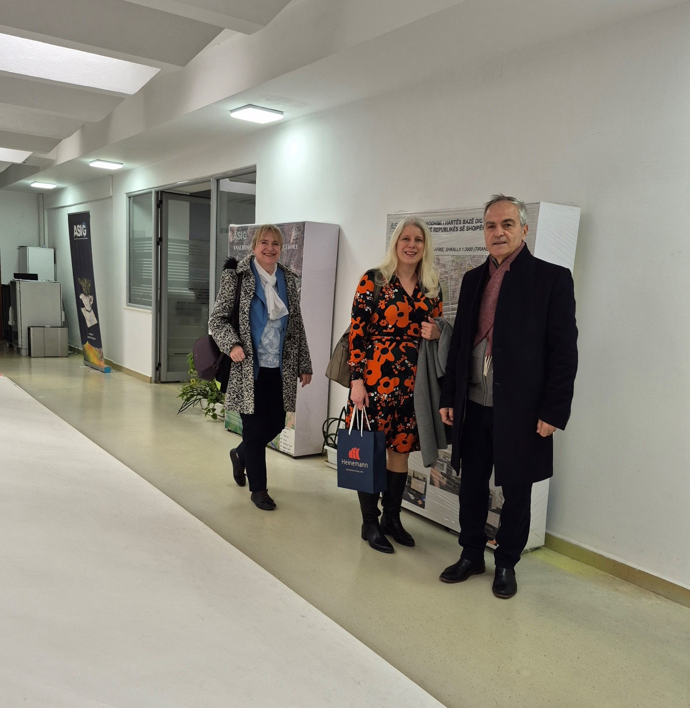
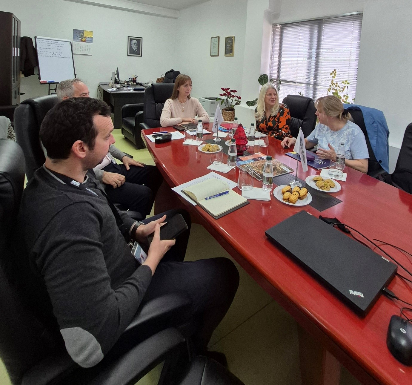
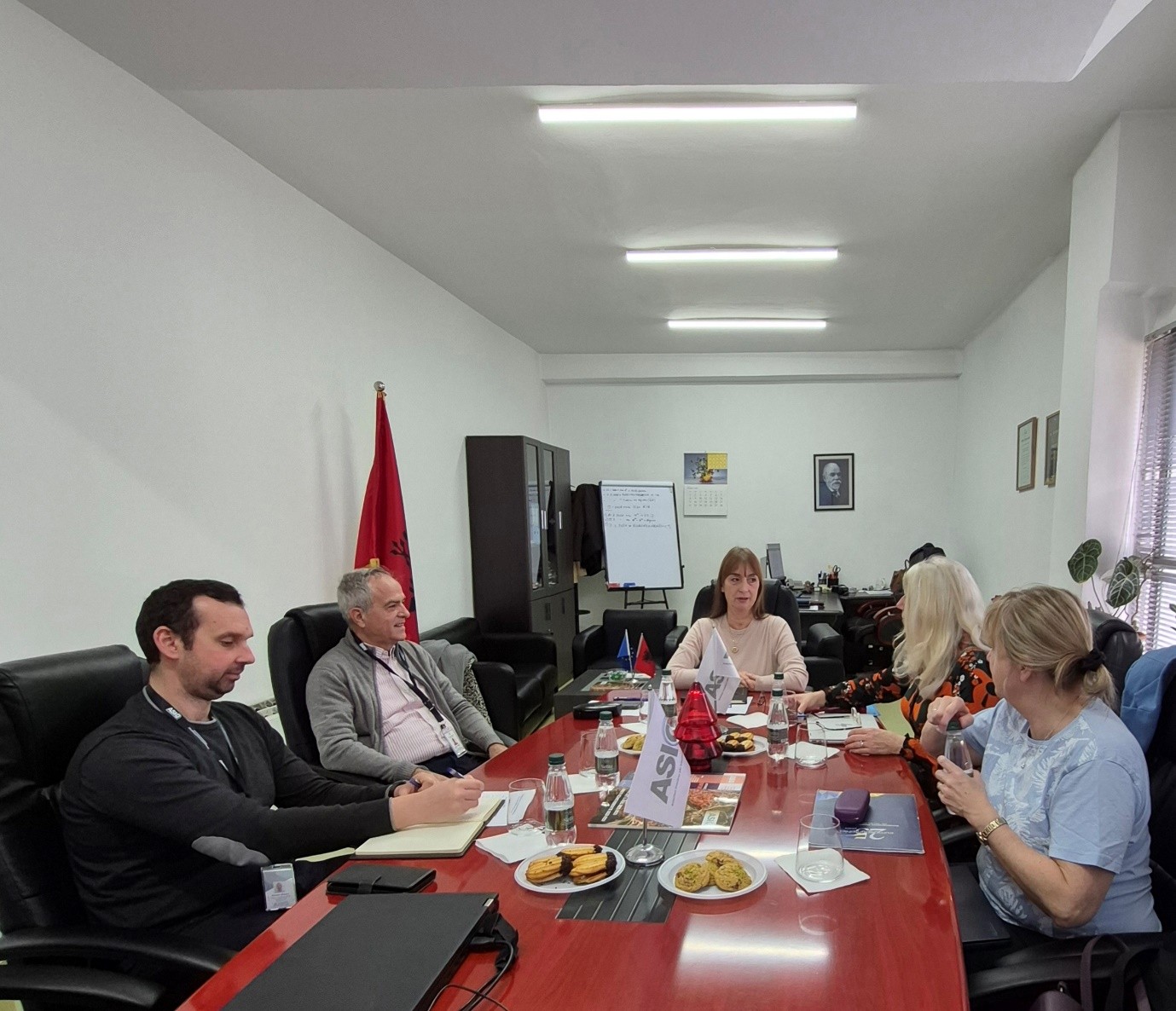
EuroGeographics representatives visit ASIG
EuroGeographics representatives Ms. Sallie Payne Snell, Secretary General and Executive Director of EuroGeographics, and Ms. Patricia Sokacova, Manager of Membership and Communications, today visited ASIG premises.
Director General Ms. Vilma Tomço, after presenting ASIG’s progress, also briefed them on the development and consolidation of the national geospatial information infrastructure, digital services and ASIG’s strategic initiatives in the field of geoinformation.
The meeting also served as an opportunity to exchange views between ASIG and EuroGeographics on the prospects for future cooperation, strengthening institutional capacities and harmonizing with European standards in the management and dissemination of geospatial data.
This visit represents an important step towards deepening inter-institutional relations and further integrating ASIG into European geoinformation networks.
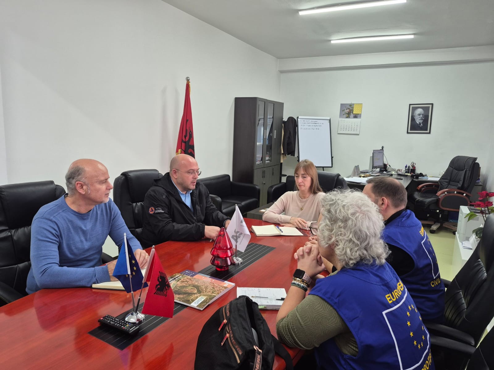
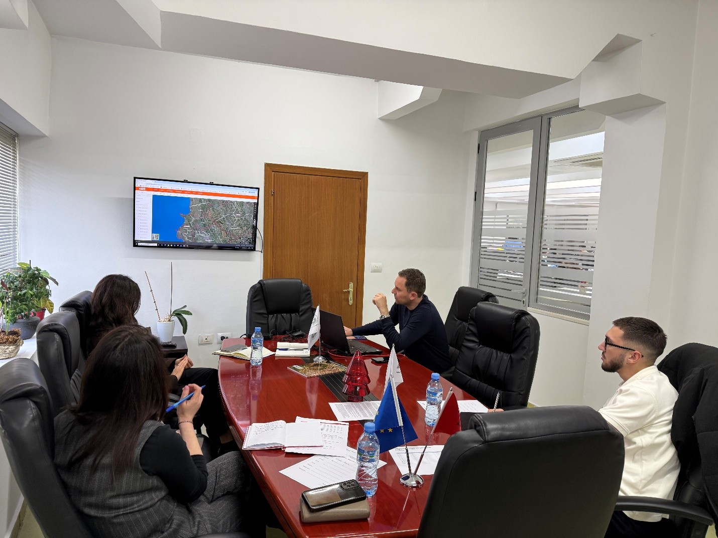
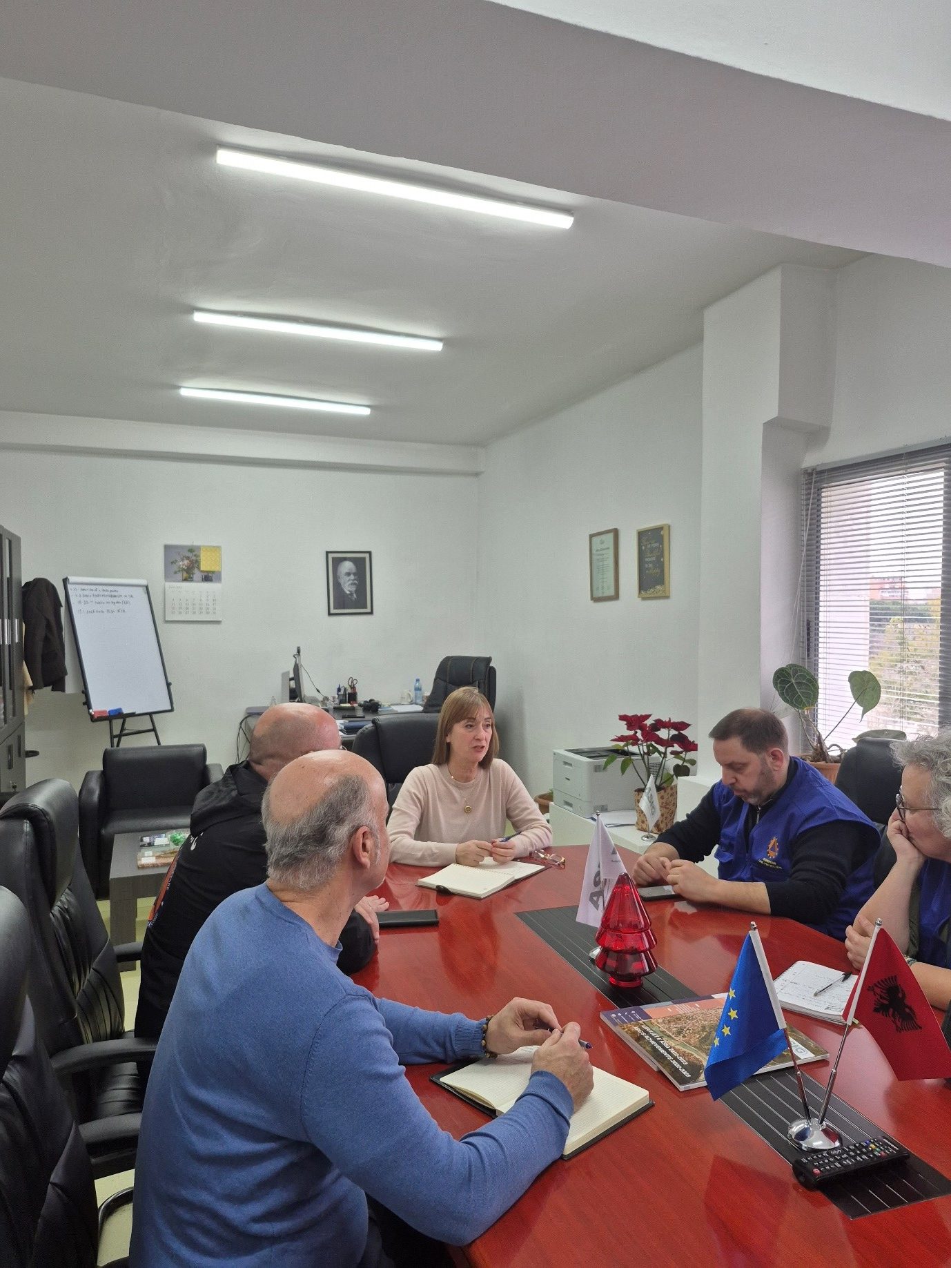
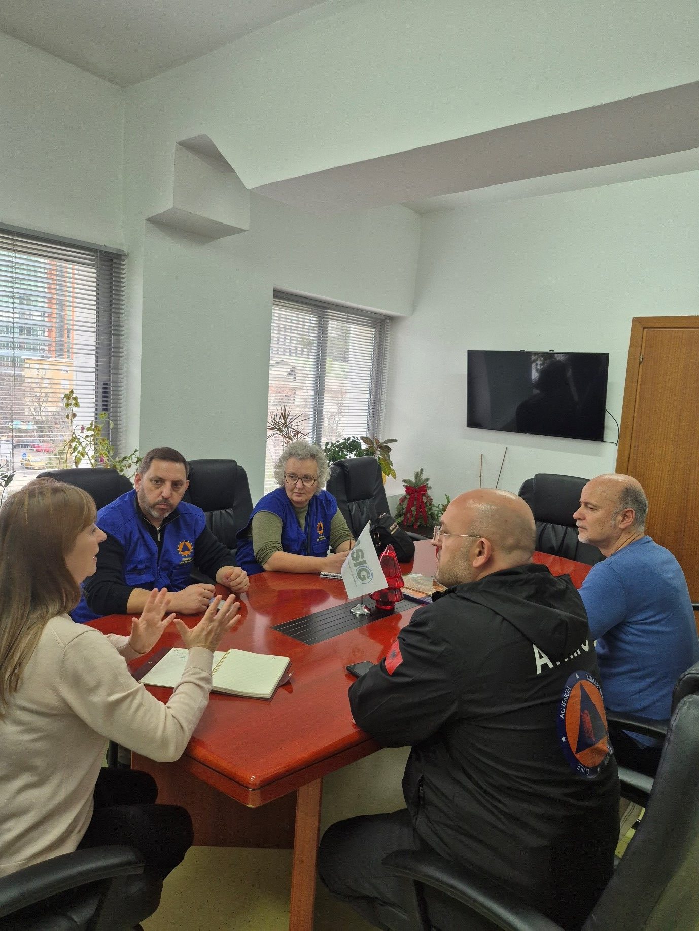
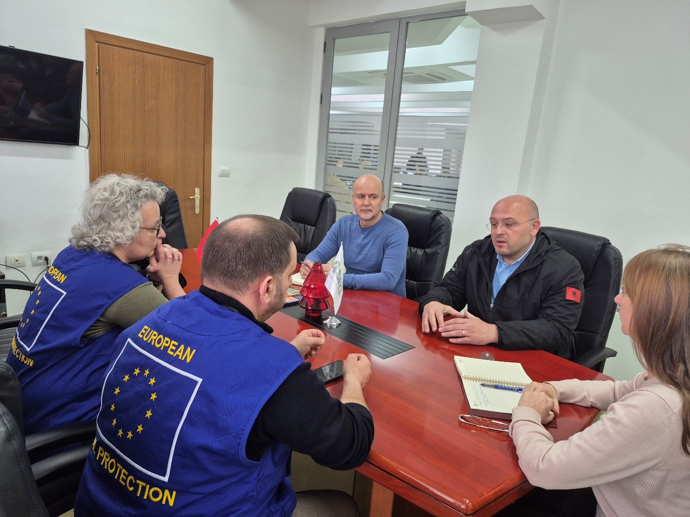
Meeting between ASIG and representatives of the Advisory Mission of the European Civil Protection Mechanism (UCPM) is held
Representatives of State Authority for Geospatial Information (ASIG) held yesterday in cooperation with the National Civil Protection Agency (AKMC) a meeting with representatives of the Advisory Mission of the European Civil Protection Mechanism (UCPM) with a focus on the role and contribution of satellite service products in the management of civil emergencies.
During the discussions, the importance of using satellite data for the identification of damage caused by fires, as well as for their prevention and early detection, was emphasized, as a key tool for increasing preparedness and effective response to natural disasters.
This cooperation reinforces the joint commitment of these institutions to strengthen national capacities and the use of advanced technologies in the service of protecting life, environment and property.

IMPORTANT NOTICE
The State Authority for Geospatial Information (ASIG) informs you that all users registered in the National Geoportal now have the opportunity to use the ATOM service to download prepared datasets, organized according to relevant topics.
The data is accessible on the official website of the National Geoportal, in the section,
Data ➝ Prepared data
(www.geoportal.asig.gov.al)
Users who are not yet registered can complete the registration through the electronic form on the National Geoportal or access the service using their e-Albania credentials.
For a more detailed orientation on the functioning of the ATOM service, we recommend that you follow the explanatory tutorial published below.
IMPORTANT:
For correct use of the ATOM service and successful data download, it is recommended to use the Mozilla Firefox browser. The functioning of the service in other browsers is not fully guaranteed.

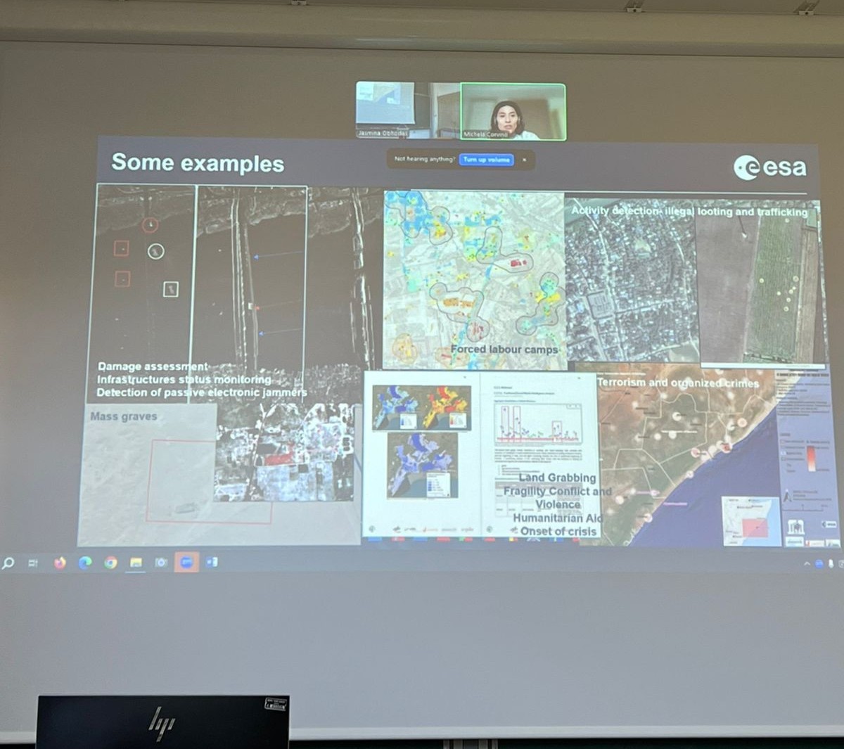
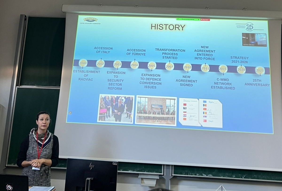
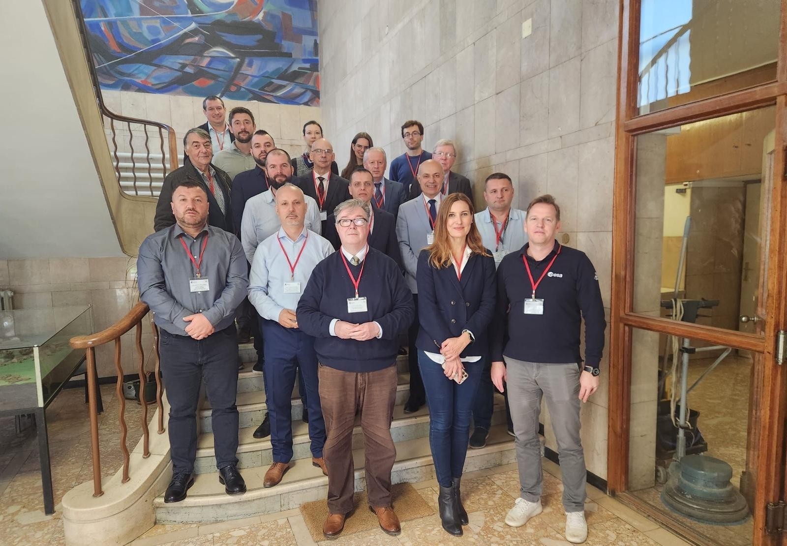
ASIG participates in the workshop organized within the framework of the EBSEC project
Representatives of State Authority for Geospatial Information (ASIG) from the Directorate of Remote Sensing Data Processing, participated in the workshop on the topic “Improving Croatian border security through the integration of satellite earth observation and traditional surveillance operations by law enforcement agencies” organized within the framework of the Earth Observation for Border Security “EBSEC” project.
This workshop was held at the premises of the “Ruđer Bošković” Institute (RBI), Zagreb, Croatia on 10–11 December 2025 and aimed to increase knowledge and exchange experiences on the use of earth observation (EO-Earth Observation), GIS systems and geospatial analysis in border security and the management of illegal migration.
This two-day event brought together representatives of state institutions, academia and international organizations from the region and beyond to discuss the integration of satellite data with traditional law enforcement methods. The event opened with welcoming remarks by representatives of the Ruđer Bošković Institute, ESA (European Space Agency) and the EBSEC project leaders, followed by a presentation of ESA’s research activities in the field of security and an overview of the results of the EBSEC project.
The ASIG representative introduced the attendees to the activity of this institution, the achievements to date in the field of geoinformation, as well as the presentation of the material on “Current Challenges and Opportunities in Migration Management in Albania, with a Focus on Satellite Imagery and its Contribution to Border Security”.
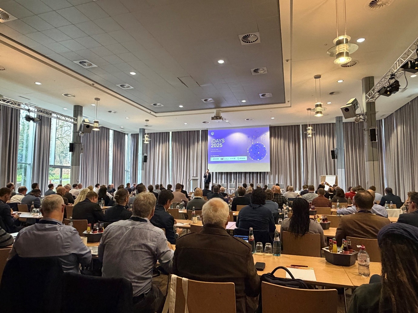
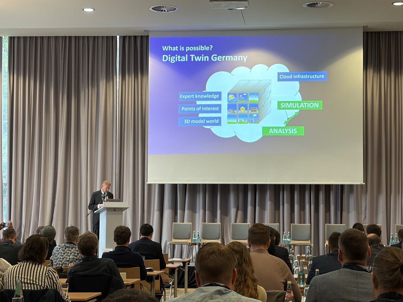
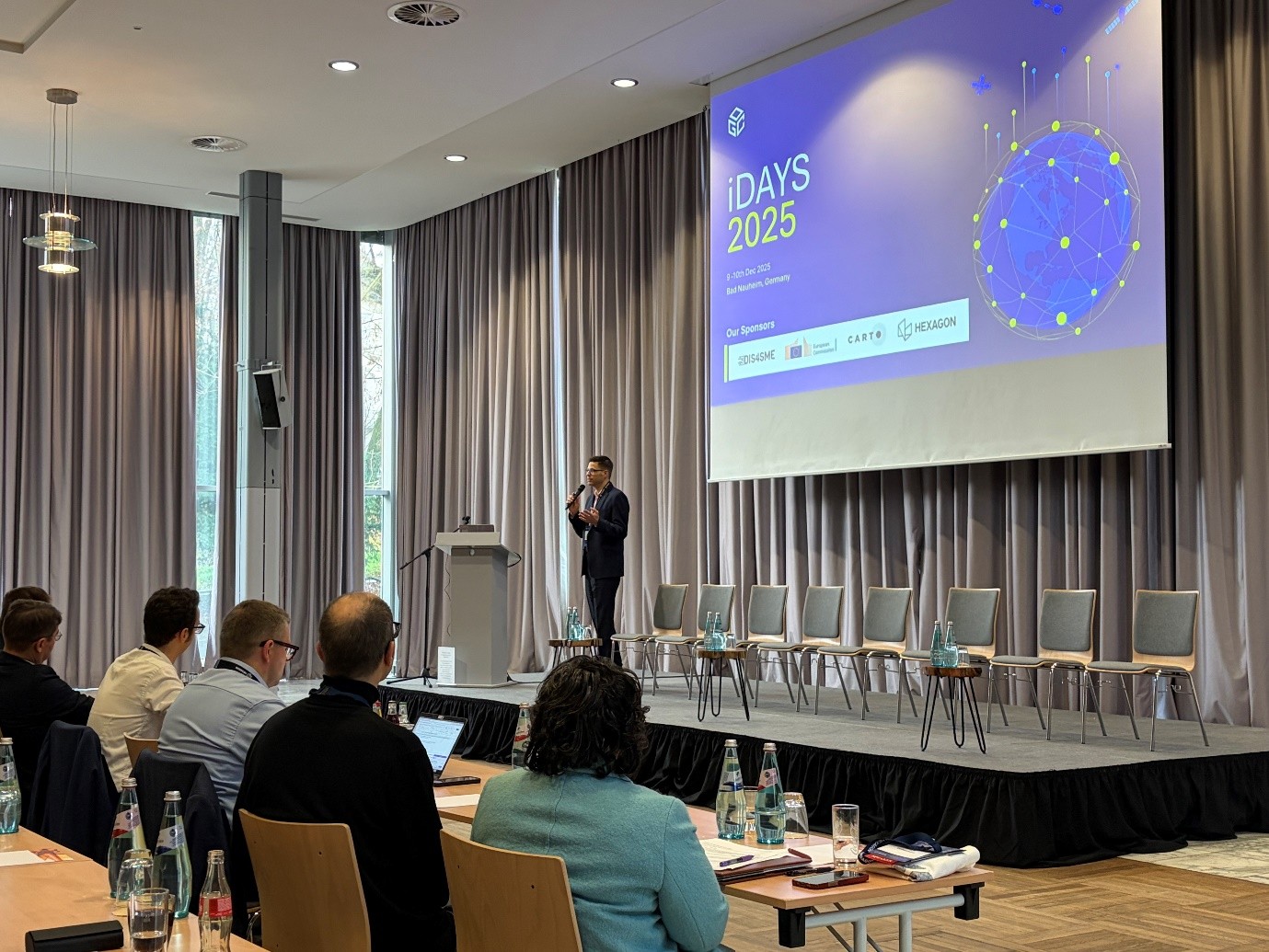
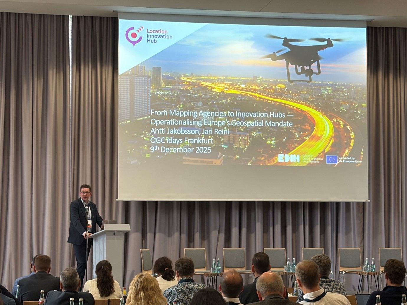
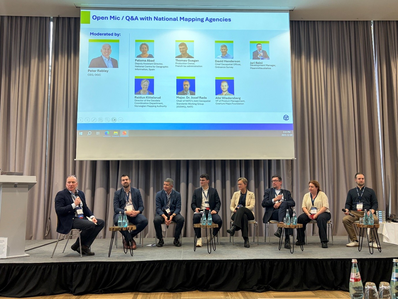
ASIG Participates in the OGC iDays 2025 International Conference
Representatives of State Authority for Geospatial Information (ASIG) participated in the OGC iDays 2025 International Conference, organized by the Open Geospatial Consortium (OGC), in Frankfurt, Germany, with a focus on the latest developments in the field of geospatial data, artificial intelligence and Digital Twins.
The conference brought together important European and international institutions, geospatial experts who addressed topics such as INSPIRE 2.0, European Data Spaces, Smart Cities, Digital Twin and discussed the role of geospatial technologies in supporting planning, climate and public decision-making.
ASIG’s participation in this event strengthened the institution’s commitment to harmonization with European policies and standards, as well as to the development of a modern geospatial infrastructure in the service of citizens and public institutions.