Telefon: +355 4 223 6762
Slide 1
GEOPORTAL

In your hands

Slide 1
ACCESS EVERYWHERE

Any time

Slide 1
NSDI according

to the INSPIRE Directive

Slide 1
Inspire
previous arrowprevious arrow
next arrownext arrow

About Us


“ASIG” is the State Authority for Geospatial Information, established in accordance with Law No. 72/2012, “On the organization and functioning of the national infrastructure of geospatial data in the Republic of Albania.”

Read more

Geoportal

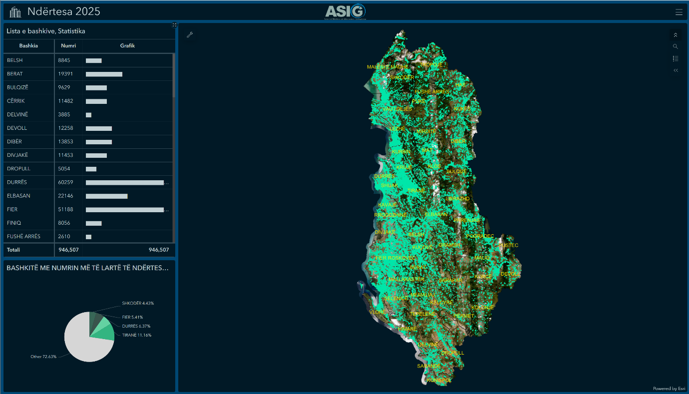
The national geoportal is a very important step in creating the infrastructure of geospatial data and will enable the public and users of this data to discover, view, and access the use of geospatial data in a very simple manner.

NSDI

The National Spatial Data Infrastructure (NSDI) represents an integrated system of geospatial data, enabling users to identify and use spatial information obtained from various sources at both local and national levels comprehensively.

Inspire

INSPIRE (Infrastructure for Spatial Information in the European Community) is an initiative initiated, developed, and adopted by the European Union on March 14, 2007, in collaboration with member states and associated countries.

Prova

KRGJSH

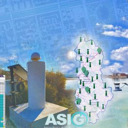
ASIG (Albanian Spatial Information Agency) is the authority responsible for the construction and maintenance of the Geodetic Reference Framework of Albania. The purpose of the Geodetic Reference Framework of Albania (KRGJSH) is to establish, through networks of control points and permanent stations based on its constituent components, a unique geodetic reference system through which the planimetric position, elevations, scale, gravity, and orientation are determined for every point in the territory of the Republic of Albania.